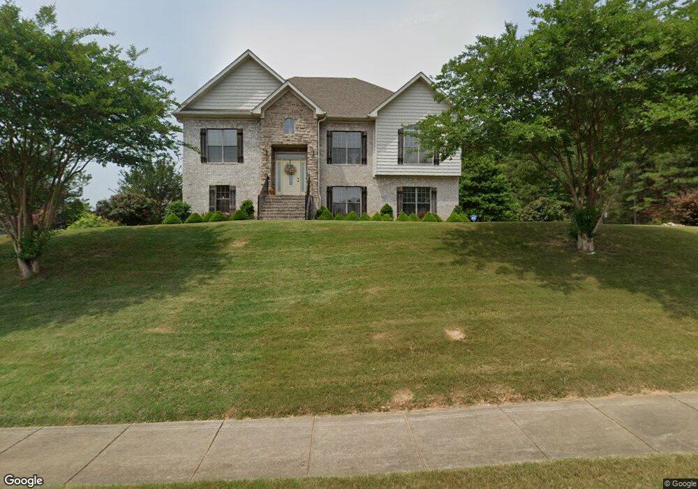
333 Cromwell Unit 365 Maylene, AL 35114
Estimated Value: $367,096 - $433,000
5
Beds
3
Baths
2,385
Sq Ft
$168/Sq Ft
Est. Value
About This Home
This home is located at 333 Cromwell Unit 365, Maylene, AL 35114 and is currently estimated at $401,274, approximately $168 per square foot. 333 Cromwell Unit 365 is a home located in Shelby County with nearby schools including Thompson Intermediate School, Thompson Middle School, and Thompson High School.
Ownership History
Date
Name
Owned For
Owner Type
Purchase Details
Closed on
Aug 28, 2009
Sold by
Aliant Bank
Bought by
Snedecor Cynthia
Current Estimated Value
Home Financials for this Owner
Home Financials are based on the most recent Mortgage that was taken out on this home.
Original Mortgage
$232,805
Outstanding Balance
$147,240
Interest Rate
5.11%
Mortgage Type
FHA
Estimated Equity
$254,034
Purchase Details
Closed on
May 19, 2009
Sold by
W A Jones Construction Co Inc
Bought by
Aliant Bank
Create a Home Valuation Report for This Property
The Home Valuation Report is an in-depth analysis detailing your home's value as well as a comparison with similar homes in the area
Home Values in the Area
Average Home Value in this Area
Purchase History
| Date | Buyer | Sale Price | Title Company |
|---|---|---|---|
| Snedecor Cynthia | $237,100 | None Available | |
| Aliant Bank | $127,036 | None Available |
Source: Public Records
Mortgage History
| Date | Status | Borrower | Loan Amount |
|---|---|---|---|
| Open | Snedecor Cynthia | $232,805 |
Source: Public Records
Tax History
| Year | Tax Paid | Tax Assessment Tax Assessment Total Assessment is a certain percentage of the fair market value that is determined by local assessors to be the total taxable value of land and additions on the property. | Land | Improvement |
|---|---|---|---|---|
| 2025 | $1,842 | $34,120 | $0 | $0 |
| 2024 | $1,838 | $34,040 | $0 | $0 |
| 2023 | $1,662 | $31,540 | $0 | $0 |
| 2022 | $1,535 | $29,180 | $0 | $0 |
| 2021 | $1,391 | $26,520 | $0 | $0 |
| 2020 | $1,336 | $25,500 | $0 | $0 |
| 2019 | $1,321 | $25,220 | $0 | $0 |
| 2017 | $1,155 | $22,140 | $0 | $0 |
| 2015 | $1,108 | $21,280 | $0 | $0 |
| 2014 | $1,080 | $20,760 | $0 | $0 |
Source: Public Records
Map
Nearby Homes
- 124 Kingsley Rd
- 303 Meadow Cir
- 120 Mayfair Park
- 306 Mayfair Cir
- 220 Cedar Meadow
- 231 Norwick Forest Dr
- 537 Ramsgate Dr
- 221 Queens Gate
- 236 Queens Gate
- 208 Queens Gate
- 544 Ramsgate Dr
- 501 Ramsgate Dr
- 305 Cedar Grove Ct
- 309 Cedar Grove Ct
- 545 Ramsgate Dr
- 204 Cedar Grove Pkwy
- 2001 1st Ave W
- 549 Ramsgate Dr
- 413 Cornwall Dr
- 280 Cedar Grove Pkwy
- 333 Cromwell
- 329 Cromwell
- 328 Cromwell
- 328 Cromwell Unit 352
- 440 Ramsgate Dr Unit 366
- 440 Ramsgate Dr
- 332 Cromwell
- 332 Cromwell Unit 351
- 325 Cromwell Unit 363
- 445 Ramsgate Dr Unit 384
- 324 Cromwell
- 324 Cromwell Unit 353
- 320 Cromwell Unit 354
- 436 Ramsgate Dr
- 436 Ramsgate Dr Unit 367
- 441 Ramsgate Dr Unit 383
- 441 Ramsgate Dr
- 321 Cromwell
- 321 Cromwell Unit 362
- 204 Parliament Pkwy Unit 350
Your Personal Tour Guide
Ask me questions while you tour the home.