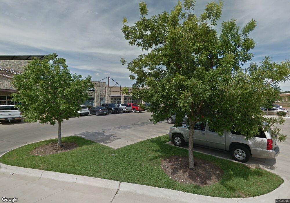
333 E Highway 290 Unit 375 Dripping Springs, TX 78620
--
Bed
--
Bath
10,056
Sq Ft
1.28
Acres
About This Home
This home is located at 333 E Highway 290 Unit 375, Dripping Springs, TX 78620. 333 E Highway 290 Unit 375 is a home located in Hays County with nearby schools including Dripping Springs Middle School, Dripping Springs High School, and Dripping Springs Christian Academy.
Ownership History
Date
Name
Owned For
Owner Type
Purchase Details
Closed on
Sep 18, 2013
Sold by
Bcl Walker Llc
Bought by
Walker Springs Gateway Investments Llc
Home Financials for this Owner
Home Financials are based on the most recent Mortgage that was taken out on this home.
Original Mortgage
$1,546,862
Outstanding Balance
$1,157,053
Interest Rate
4.46%
Mortgage Type
Construction
Purchase Details
Closed on
Dec 16, 2011
Sold by
First National Bank
Bought by
Walker Springs Gateway Investments Llc
Create a Home Valuation Report for This Property
The Home Valuation Report is an in-depth analysis detailing your home's value as well as a comparison with similar homes in the area
Home Values in the Area
Average Home Value in this Area
Purchase History
| Date | Buyer | Sale Price | Title Company |
|---|---|---|---|
| Walker Springs Gateway Investments Llc | -- | None Available | |
| Walker Springs Gateway Investments Llc | -- | -- |
Source: Public Records
Mortgage History
| Date | Status | Borrower | Loan Amount |
|---|---|---|---|
| Open | Walker Springs Gateway Investments Llc | $1,546,862 |
Source: Public Records
Tax History Compared to Growth
Tax History
| Year | Tax Paid | Tax Assessment Tax Assessment Total Assessment is a certain percentage of the fair market value that is determined by local assessors to be the total taxable value of land and additions on the property. | Land | Improvement |
|---|---|---|---|---|
| 2025 | $31,576 | $1,811,100 | $551,330 | $1,259,770 |
| 2024 | $31,576 | $1,811,100 | $551,330 | $1,259,770 |
| 2023 | $30,459 | $1,811,100 | $551,330 | $1,259,770 |
| 2022 | $32,528 | $1,727,070 | $467,300 | $1,259,770 |
| 2021 | $35,593 | $1,727,070 | $467,300 | $1,259,770 |
| 2020 | $35,593 | $1,727,070 | $467,300 | $1,259,770 |
| 2019 | $38,897 | $1,727,070 | $467,300 | $1,259,770 |
| 2018 | $36,446 | $1,610,030 | $432,690 | $1,177,340 |
| 2017 | $36,379 | $1,610,030 | $432,690 | $1,177,340 |
| 2016 | $36,379 | $1,610,030 | $432,690 | $1,177,340 |
| 2015 | $6,119 | $1,534,310 | $432,690 | $1,101,620 |
Source: Public Records
Map
Nearby Homes
- 151 Diamond Point Dr
- 168 Iron Rail Rd
- 214 Crater Lake Dr
- 307 Ranier Way
- 288 Ranier Way
- 277 Ranier Way
- 215 Crater Lake Dr
- 301 Ranier Way
- 222 Crater Lake Dr
- 322 Wrangell Way
- Cassidy Plan at Cannon Ranch - 45s
- Conroe Plan at Cannon Ranch - 40s
- Granbury Plan at Cannon Ranch - 40s
- Wyatt Plan at Cannon Ranch - 45s
- Ladybird Plan at Cannon Ranch - 40s
- Colton Plan at Cannon Ranch - 45s
- Canyon Plan at Cannon Ranch - 40s
- Brodie Plan at Cannon Ranch - 45s
- Travis Plan at Cannon Ranch - 40s
- Cartwright Plan at Cannon Ranch - 45s
- 333 E Highway 290 Unit 401
- 333 E Highway 290 Unit 427
- 333 E Highway 290 Unit 405
- 333 E Highway 290 Unit 305
- 300 Highway 290 Unit 350
- 221 Spanish Star Trail
- 239 Spanish Star Trail
- 169 E Highway 290
- 169 Acres Hwy 290
- 259 Spanish Star Trail
- 233 Spanish Star Trail
- 227 Spanish Star Trail
- 253 Spanish Star
- 253 Spanish Star Trail
- 221 Spanish Oak Trail
- 215 Spanish Star Trail
- 273 Spanish Star Trail
- 194 Spanish Star Trail
- 285 Spanish Star Trail