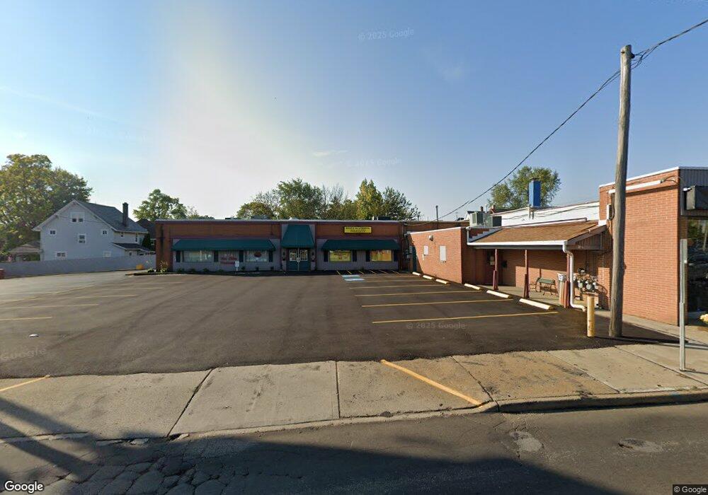
333 E State St Alliance, OH 44601
Studio
2
Baths
1,034
Sq Ft
0.33
Acres
About This Home
This home is located at 333 E State St, Alliance, OH 44601. 333 E State St is a home located in Stark County with nearby schools including Alliance Elementary School at Rockhill, Alliance Intermediate School at Northside, and Alliance Middle School.
Ownership History
Date
Name
Owned For
Owner Type
Purchase Details
Closed on
Jul 27, 2012
Sold by
Burluft Llc
Bought by
Fruhen Llc
Purchase Details
Closed on
Aug 27, 2001
Sold by
Tanner Commercial Ltd Ii
Bought by
Burluft Llc
Home Financials for this Owner
Home Financials are based on the most recent Mortgage that was taken out on this home.
Original Mortgage
$220,000
Interest Rate
7.11%
Mortgage Type
Commercial
Create a Home Valuation Report for This Property
The Home Valuation Report is an in-depth analysis detailing your home's value as well as a comparison with similar homes in the area
Home Values in the Area
Average Home Value in this Area
Purchase History
| Date | Buyer | Sale Price | Title Company |
|---|---|---|---|
| Fruhen Llc | $300,000 | None Available | |
| Burluft Llc | $310,000 | Union Title Company |
Source: Public Records
Mortgage History
| Date | Status | Borrower | Loan Amount |
|---|---|---|---|
| Previous Owner | Burluft Llc | $220,000 |
Source: Public Records
Tax History
| Year | Tax Paid | Tax Assessment Tax Assessment Total Assessment is a certain percentage of the fair market value that is determined by local assessors to be the total taxable value of land and additions on the property. | Land | Improvement |
|---|---|---|---|---|
| 2025 | -- | $98,250 | $20,370 | $77,880 |
| 2024 | -- | $98,250 | $20,370 | $77,880 |
| 2023 | $4,339 | $81,870 | $16,980 | $64,890 |
| 2022 | $4,381 | $81,870 | $16,980 | $64,890 |
| 2021 | $4,360 | $81,870 | $16,980 | $64,890 |
| 2020 | $4,276 | $74,420 | $15,440 | $58,980 |
| 2019 | $4,171 | $74,420 | $15,440 | $58,980 |
| 2018 | $4,119 | $74,420 | $15,440 | $58,980 |
| 2017 | $4,292 | $75,050 | $14,110 | $60,940 |
| 2016 | $4,317 | $75,050 | $14,110 | $60,940 |
| 2015 | $4,349 | $75,050 | $14,110 | $60,940 |
| 2014 | $262 | $72,150 | $13,550 | $58,600 |
| 2013 | $2,114 | $72,150 | $13,550 | $58,600 |
Source: Public Records
Map
Nearby Homes
- 2041 Watson Ave
- 390 E College St
- 2351 S Freedom Ave
- 2408 S Linden Ave
- 2405 Cherry Ave
- 2372 S Union Ave
- 2406 S Union Ave
- 233 Shadyside Ct
- 1608 S Liberty Ave
- 2117 Miller Ave
- 224 Shadyside Ct
- 834 Devine St
- 555 E Milton St
- 853 Fairway Dr
- 2364 Shunk Ave
- 167 11th St
- 134 11th St
- 226 Milner St
- 2705 Shunk Ave
- 234 Rosenberry St
- 319 E State Street#319-355
- 317 E State St
- 2027 S Linden Ave
- 2035 S Linden Ave
- 2032 S Arch Ave
- 2038 S Arch Ave
- 2045 S Linden Ave
- 2048 S Arch Ave
- 2059 S Linden Ave
- 304 E State St
- 2058 S Arch Ave
- 2030 S Linden Ave
- 2040 S Linden Ave
- 2105 S Linden Ave
- 2049 S Arch Ave
- 2108 S Arch Ave
- 2050 S Linden Ave
- 255 E State St
- 2115 S Linden Ave
- 2058 S Linden Ave