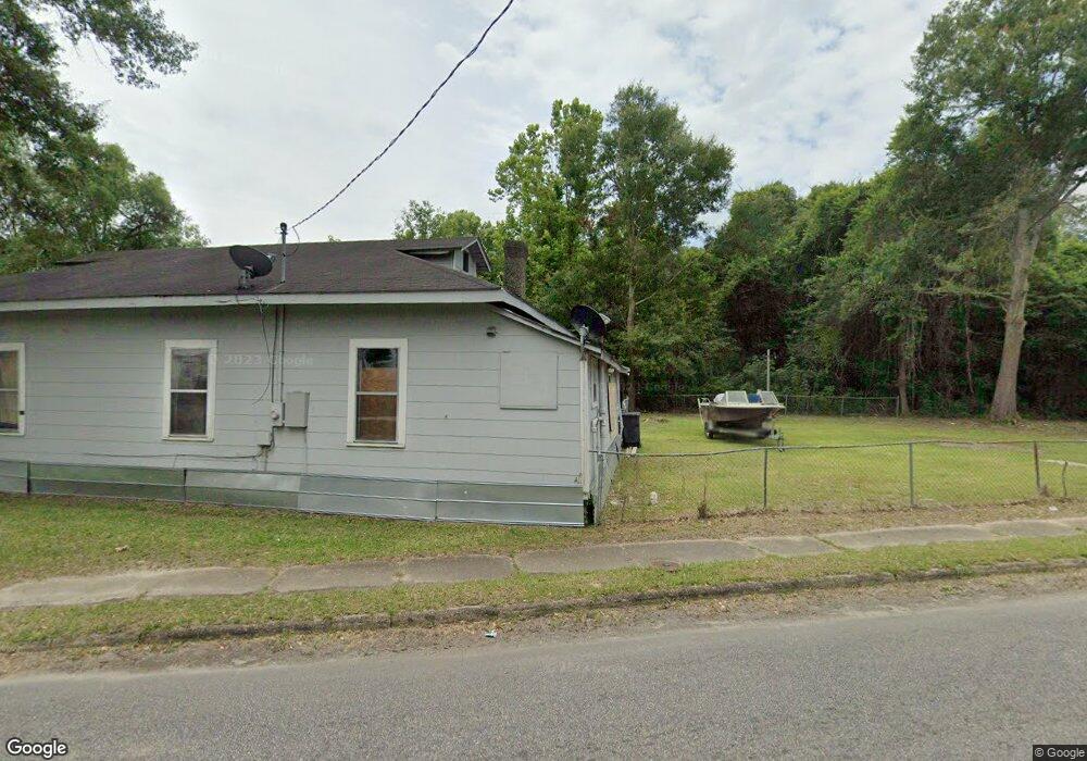
333 Edison Dr Mobile, AL 36610
East Prichard NeighborhoodEstimated Value: $43,000 - $139,000
Studio
1
Bath
1,288
Sq Ft
$55/Sq Ft
Est. Value
About This Home
This home is located at 333 Edison Dr, Mobile, AL 36610 and is currently estimated at $71,160, approximately $55 per square foot. 333 Edison Dr is a home located in Mobile County with nearby schools including Grant Elementary School, Mobile Co Training Middle School, and Vigor High School.
Ownership History
Date
Name
Owned For
Owner Type
Purchase Details
Closed on
Jul 6, 2007
Sold by
Rabb Jamarkus
Bought by
Rabb Anthony and Rabb Tchanavia
Current Estimated Value
Home Financials for this Owner
Home Financials are based on the most recent Mortgage that was taken out on this home.
Original Mortgage
$24,000
Outstanding Balance
$14,670
Interest Rate
6.35%
Mortgage Type
Seller Take Back
Estimated Equity
$56,490
Purchase Details
Closed on
Jan 26, 2007
Sold by
Harris Fred Lee
Bought by
Rabb Jamarkus
Create a Home Valuation Report for This Property
The Home Valuation Report is an in-depth analysis detailing your home's value as well as a comparison with similar homes in the area
Home Values in the Area
Average Home Value in this Area
Purchase History
| Date | Buyer | Sale Price | Title Company |
|---|---|---|---|
| Rabb Anthony | $24,000 | None Available | |
| Rabb Jamarkus | -- | None Available |
Source: Public Records
Mortgage History
| Date | Status | Borrower | Loan Amount |
|---|---|---|---|
| Open | Rabb Anthony | $24,000 |
Source: Public Records
Tax History
| Year | Tax Paid | Tax Assessment Tax Assessment Total Assessment is a certain percentage of the fair market value that is determined by local assessors to be the total taxable value of land and additions on the property. | Land | Improvement |
|---|---|---|---|---|
| 2025 | $240 | $3,740 | $1,000 | $2,740 |
| 2024 | $240 | $3,700 | $820 | $2,880 |
| 2023 | $228 | $4,520 | $820 | $3,700 |
| 2022 | $250 | $4,060 | $740 | $3,320 |
| 2021 | $278 | $4,520 | $820 | $3,700 |
| 2020 | $278 | $4,520 | $820 | $3,700 |
| 2019 | $326 | $5,300 | $920 | $4,380 |
| 2018 | $326 | $5,300 | $0 | $0 |
| 2017 | $326 | $5,300 | $0 | $0 |
| 2016 | $338 | $5,500 | $0 | $0 |
| 2013 | $349 | $5,500 | $0 | $0 |
Source: Public Records
Map
Nearby Homes
- 317 W Main St
- 407 Garrison Ave
- 0 W Prichard Ave Unit 7677800
- 0 W Prichard Ave Unit 7678472
- 103 W Love Joy Loop
- 721 Gilbert St
- 807 Reynolds Ave
- 626 Percy Ave
- 116 Grant Cir
- 814 Beck Ave
- 941 Avenue H
- 302 S Price Ave
- 328 Glendale St
- 715 Saint Stephens Rd
- 227 E Elm St
- 2435 Saint Stephens Rd
- 2316 Osage St
- 0 N Thomas Ave Unit 7730384
- 1010 Barbara Dr
- 1824 Nitson St
Your Personal Tour Guide
Ask me questions while you tour the home.