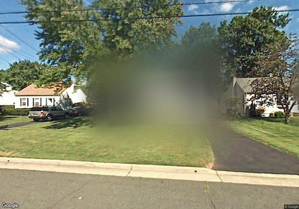
333 Firth St South Plainfield, NJ 07080
Estimated Value: $488,509 - $597,000
--
Bed
--
Bath
1,470
Sq Ft
$365/Sq Ft
Est. Value
About This Home
This home is located at 333 Firth St, South Plainfield, NJ 07080 and is currently estimated at $536,627, approximately $365 per square foot. 333 Firth St is a home located in Middlesex County with nearby schools including South Plainfield High School and Koinonia Academy.
Ownership History
Date
Name
Owned For
Owner Type
Purchase Details
Closed on
Jul 15, 2022
Sold by
Nuzzo Ruthann
Bought by
Nuzzo Daniel R
Current Estimated Value
Home Financials for this Owner
Home Financials are based on the most recent Mortgage that was taken out on this home.
Original Mortgage
$259,053
Interest Rate
5.13%
Mortgage Type
New Conventional
Create a Home Valuation Report for This Property
The Home Valuation Report is an in-depth analysis detailing your home's value as well as a comparison with similar homes in the area
Home Values in the Area
Average Home Value in this Area
Purchase History
| Date | Buyer | Sale Price | Title Company |
|---|---|---|---|
| Nuzzo Daniel R | $360,000 | -- | |
| Nuzzo Daniel R | $360,000 | None Listed On Document |
Source: Public Records
Mortgage History
| Date | Status | Borrower | Loan Amount |
|---|---|---|---|
| Previous Owner | Nuzzo Daniel R | $259,053 |
Source: Public Records
Tax History Compared to Growth
Tax History
| Year | Tax Paid | Tax Assessment Tax Assessment Total Assessment is a certain percentage of the fair market value that is determined by local assessors to be the total taxable value of land and additions on the property. | Land | Improvement |
|---|---|---|---|---|
| 2025 | $6,347 | $90,900 | $32,600 | $58,300 |
| 2024 | $6,070 | $90,900 | $32,600 | $58,300 |
| 2023 | $6,070 | $90,900 | $32,600 | $58,300 |
| 2022 | $5,995 | $90,900 | $32,600 | $58,300 |
| 2021 | $5,578 | $90,900 | $32,600 | $58,300 |
| 2020 | $5,578 | $87,900 | $32,600 | $55,300 |
| 2019 | $5,352 | $87,900 | $32,600 | $55,300 |
| 2018 | $5,214 | $87,900 | $32,600 | $55,300 |
| 2017 | $5,147 | $87,900 | $32,600 | $55,300 |
| 2016 | $5,096 | $87,900 | $32,600 | $55,300 |
| 2015 | $5,008 | $87,900 | $32,600 | $55,300 |
| 2014 | $4,864 | $87,900 | $32,600 | $55,300 |
Source: Public Records
Map
Nearby Homes
- 1400 Kenyon Ave
- 1712 Kenyon Ave
- 127 Remington Ave Unit 31
- 1726 Kenyon Ave
- 1210 Field Ave
- 132 Parkside Rd
- 105 Firth St
- 77 Parkside Rd Unit 89
- 1066 Allenwood Dr
- 533 Edgar Ave
- 507 Cedarbrook Ave
- 1221 Grant Ave Unit 23
- 1210 Maltby Ave
- 814 Sherman Ave Unit 18
- 1349 Park Ave Unit 53
- 909 Sherman Ave
- 1339 Park Ave Unit 41
- 260 Merchants Ave
- 117 Golf Ave E
- 241 Van Fleet Ave
- 337 Firth St
- 329 Firth St
- 1428 Kenyon Ave
- 338 Wadsworth Ave
- 1432 Kenyon Ave
- 336 Wadsworth Ave
- 1422 Kenyon Ave
- 332 Wadsworth Ave
- 319 Firth St
- 1418 Kenyon Ave
- 322 Wadsworth Ave
- 332 Firth St
- 1500 Kenyon Ave
- 336 Firth St
- 328 Firth St
- 315 Firth St
- 318 Wadsworth Ave
- 324 Firth St
- 1506 Kenyon Ave
- 314 Wadsworth Ave