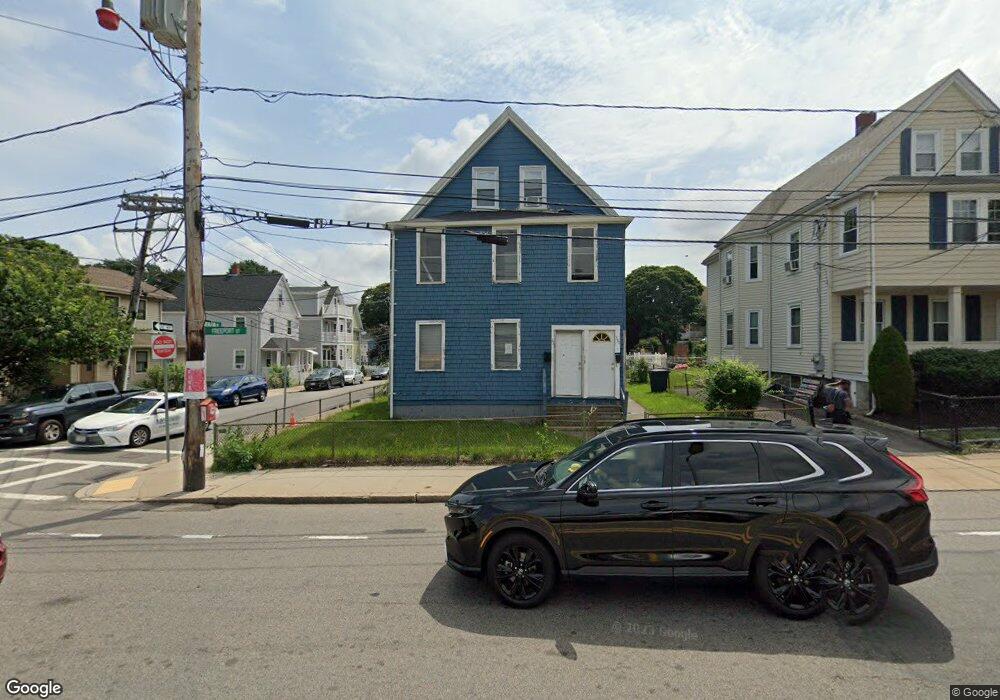
333 Freeport St Unit 337 Dorchester, MA 02122
Fields Corner East NeighborhoodEstimated Value: $857,000 - $1,062,000
6
Beds
2
Baths
2,335
Sq Ft
$402/Sq Ft
Est. Value
About This Home
This home is located at 333 Freeport St Unit 337, Dorchester, MA 02122 and is currently estimated at $937,563, approximately $401 per square foot. 333 Freeport St Unit 337 is a home located in Suffolk County with nearby schools including Neighborhood House Charter School and Helen Y. Davis Leadership Academy Charter Public School.
Ownership History
Date
Name
Owned For
Owner Type
Purchase Details
Closed on
Nov 20, 2009
Sold by
Freeport Realty Llc
Bought by
Freeport Realty Llc
Current Estimated Value
Purchase Details
Closed on
Oct 19, 2009
Sold by
Chase Samuel and Chase Joseph
Bought by
Freeport Realty Llc
Purchase Details
Closed on
Aug 17, 2007
Sold by
Silvia Alfred
Bought by
Chase Joseph and Chase Samuel
Home Financials for this Owner
Home Financials are based on the most recent Mortgage that was taken out on this home.
Original Mortgage
$408,500
Interest Rate
6.67%
Mortgage Type
Purchase Money Mortgage
Purchase Details
Closed on
Nov 3, 2005
Sold by
Clam Point Rt and Ing Kelvin K
Bought by
Freeport Rlty Llc
Home Financials for this Owner
Home Financials are based on the most recent Mortgage that was taken out on this home.
Original Mortgage
$245,000
Interest Rate
5.85%
Mortgage Type
Purchase Money Mortgage
Create a Home Valuation Report for This Property
The Home Valuation Report is an in-depth analysis detailing your home's value as well as a comparison with similar homes in the area
Home Values in the Area
Average Home Value in this Area
Purchase History
| Date | Buyer | Sale Price | Title Company |
|---|---|---|---|
| Freeport Realty Llc | -- | -- | |
| Freeport Realty Llc | $1,000 | -- | |
| Chase Joseph | $430,000 | -- | |
| Freeport Rlty Llc | $350,000 | -- |
Source: Public Records
Mortgage History
| Date | Status | Borrower | Loan Amount |
|---|---|---|---|
| Previous Owner | Chase Joseph | $408,500 | |
| Previous Owner | Freeport Rlty Llc | $245,000 |
Source: Public Records
Tax History Compared to Growth
Tax History
| Year | Tax Paid | Tax Assessment Tax Assessment Total Assessment is a certain percentage of the fair market value that is determined by local assessors to be the total taxable value of land and additions on the property. | Land | Improvement |
|---|---|---|---|---|
| 2025 | $8,112 | $700,500 | $223,000 | $477,500 |
| 2024 | $6,096 | $559,300 | $201,600 | $357,700 |
| 2023 | $6,007 | $559,300 | $201,600 | $357,700 |
| 2022 | $5,793 | $532,400 | $191,900 | $340,500 |
| 2021 | $5,411 | $507,100 | $182,800 | $324,300 |
| 2020 | $4,911 | $465,100 | $171,300 | $293,800 |
| 2019 | $4,420 | $419,400 | $138,300 | $281,100 |
| 2018 | $4,071 | $388,500 | $138,300 | $250,200 |
| 2017 | $4,114 | $388,500 | $138,300 | $250,200 |
| 2016 | $3,957 | $359,700 | $138,300 | $221,400 |
| 2015 | $3,610 | $298,100 | $109,200 | $188,900 |
| 2014 | $3,224 | $256,300 | $109,200 | $147,100 |
Source: Public Records
Map
Nearby Homes
- 9 Park St Unit 8
- 32 Beach St Unit 1
- 34 Houghton St
- 15 Duncan St
- 382 Adams St Unit 384-1
- 4 Payne St Unit 5
- 60 Houghton St Unit 62
- 6 Agawam St
- 381 Adams St Unit 2
- 381 Adams St Unit 1
- 381 Adams St Unit 3
- 108 King St Unit 3
- 32 Gibson St Unit 3
- 104 King St Unit 2
- 96 King St Unit 1
- 40 Linden St Unit C
- 3 N Munroe Terrace
- 175 Savin Hill Ave Unit 3
- 20 Parkman St Unit 2
- 18 Lyon St Unit 2
- 331 Freeport St Unit 1
- 331 Freeport St
- 329 Freeport St Unit 331
- 329 Freeport St Unit 1
- 7 Everdean St
- 0 Everdean St Unit 1
- 140 Freeport St
- 325 Freeport St Unit 327
- 11 Everdean St
- 8 Everdean St
- 321 Freeport St
- 4 Mill St
- 15 Everdean St
- 6 Mill St
- 12 Everdean St Unit 2
- 12 Everdean St Unit 1
- 19 Everdean St Unit 21
- 19 Everdean St Unit 1
- 21 Everdean St Unit 2
- 16 Everdean St