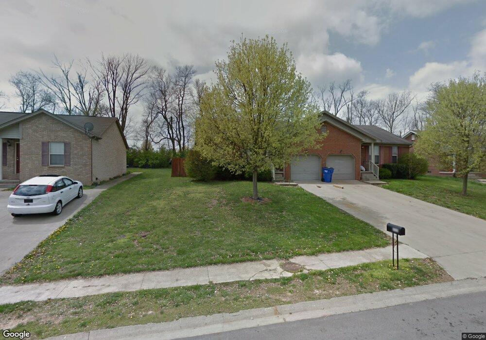
333 Humston Dr Unit 335 Lawrenceburg, KY 40342
Estimated Value: $204,000 - $301,000
--
Bed
--
Bath
1,758
Sq Ft
$136/Sq Ft
Est. Value
About This Home
This home is located at 333 Humston Dr Unit 335, Lawrenceburg, KY 40342 and is currently estimated at $238,473, approximately $135 per square foot. 333 Humston Dr Unit 335 is a home located in Anderson County with nearby schools including Saffell Street Elementary School, Anderson County Middle School, and Anderson County High School.
Ownership History
Date
Name
Owned For
Owner Type
Purchase Details
Closed on
Jun 2, 2017
Sold by
Sutherland Christopher W and Sutherland Karen C
Bought by
Durr Rodney G and Durr Carla G
Current Estimated Value
Home Financials for this Owner
Home Financials are based on the most recent Mortgage that was taken out on this home.
Original Mortgage
$90,000
Outstanding Balance
$61,315
Interest Rate
4.02%
Mortgage Type
New Conventional
Estimated Equity
$177,158
Purchase Details
Closed on
May 31, 2007
Sold by
Sutherland Melissa J
Bought by
Sutherland Christopher W
Home Financials for this Owner
Home Financials are based on the most recent Mortgage that was taken out on this home.
Original Mortgage
$12,684,807
Interest Rate
6.16%
Create a Home Valuation Report for This Property
The Home Valuation Report is an in-depth analysis detailing your home's value as well as a comparison with similar homes in the area
Home Values in the Area
Average Home Value in this Area
Purchase History
| Date | Buyer | Sale Price | Title Company |
|---|---|---|---|
| Durr Rodney G | $116,500 | None Available | |
| Sutherland Christopher W | $27,000 | -- |
Source: Public Records
Mortgage History
| Date | Status | Borrower | Loan Amount |
|---|---|---|---|
| Open | Durr Rodney G | $90,000 | |
| Previous Owner | Sutherland Christopher W | $12,684,807 |
Source: Public Records
Tax History Compared to Growth
Tax History
| Year | Tax Paid | Tax Assessment Tax Assessment Total Assessment is a certain percentage of the fair market value that is determined by local assessors to be the total taxable value of land and additions on the property. | Land | Improvement |
|---|---|---|---|---|
| 2024 | $1,394 | $150,000 | $25,000 | $125,000 |
| 2023 | $1,415 | $150,000 | $25,000 | $125,000 |
| 2022 | $1,255 | $130,000 | $25,000 | $105,000 |
| 2021 | $1,188 | $120,000 | $25,000 | $95,000 |
| 2020 | $1,219 | $120,000 | $25,000 | $95,000 |
| 2019 | $1,239 | $120,000 | $25,000 | $95,000 |
| 2018 | $1,192 | $116,500 | $25,000 | $91,500 |
| 2017 | $1,306 | $116,500 | $25,000 | $91,500 |
| 2016 | $1,284 | $130,000 | $25,000 | $105,000 |
| 2015 | $1,256 | $130,000 | $25,000 | $105,000 |
| 2014 | $1,253 | $130,000 | $25,000 | $105,000 |
| 2013 | $1,235 | $130,000 | $25,000 | $105,000 |
Source: Public Records
Map
Nearby Homes
- 206 Lynn Dr Unit 208
- 417 Humston Dr
- 213 Horn Dr
- 221 Lynn Dr
- 205 Lynn Dr
- 1001 Bypass Hwy N
- 1011 Bypass Hwy N
- 1007 Bypass Hwy N
- 1003 Bypass Hwy N
- 312 Forrest Dr
- 1005 Bypass Hwy N
- 1301-2 Glensboro Rd
- 114 Whitney Ave
- 101 Whitney Ave
- 133 Canterbury St
- 3024 Thorntree Ln
- 3020 Thorntree Ln
- 3012 Briarcreek Dr
- Lot #1 Briarcreek Dr
- 3011 Thorntree Ln
- 301 Humston Dr Unit 303
- 305 Humston Dr Unit 307
- 313 Humston Dr Unit 315
- 317 Humston Dr Unit 319
- 325 Humston Dr Unit 327
- 329 Humston Dr Unit 331
- 341 Humston Dr Unit 343
- 345 Humston Dr Unit 347
- 357 Humston Dr Unit 359
- 349 Humston Dr Unit 351
- 410 Humston Dr
- 406 Humston Dr
- 402 Humston Dr
- 337 -339 Humston Dr
- 853 Copperfield Dr
- 849 Copperfield Dr Unit 847
- 337 Humston Dr Unit 339
- 220 Lynn Dr
- 218 Lynn Dr
- 328 Humston Dr Unit 330