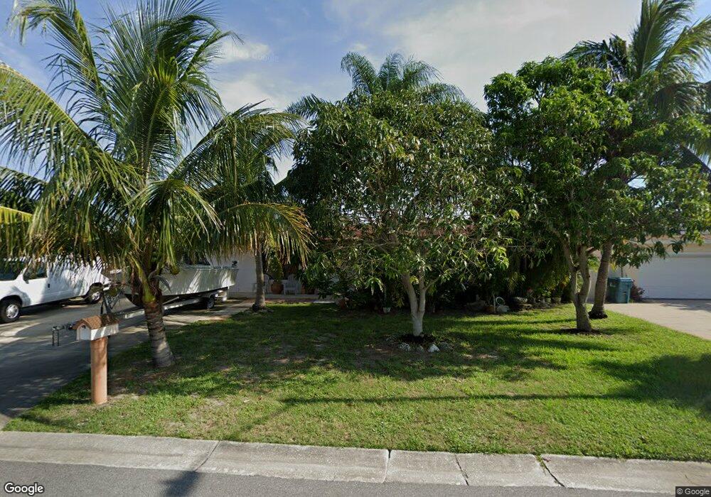
333 Jupiter Dr Satellite Beach, FL 32937
Estimated Value: $377,000 - $443,000
3
Beds
2
Baths
1,596
Sq Ft
$262/Sq Ft
Est. Value
About This Home
This home is located at 333 Jupiter Dr, Satellite Beach, FL 32937 and is currently estimated at $418,429, approximately $262 per square foot. 333 Jupiter Dr is a home located in Brevard County with nearby schools including Spessard L. Holland Elementary School, Satellite Senior High School, and DeLaura Middle School.
Ownership History
Date
Name
Owned For
Owner Type
Purchase Details
Closed on
Mar 15, 2002
Sold by
Peterson Susan A and Unnever Susan A
Bought by
Mcnaughton Gregory S and Mcnaughton Carolina E
Current Estimated Value
Home Financials for this Owner
Home Financials are based on the most recent Mortgage that was taken out on this home.
Original Mortgage
$80,000
Outstanding Balance
$32,948
Interest Rate
6.86%
Mortgage Type
Purchase Money Mortgage
Estimated Equity
$385,481
Purchase Details
Closed on
Jan 9, 2001
Sold by
Unever Fulton S and Unnever Susan A
Bought by
Unnever Susan A
Purchase Details
Closed on
Jul 18, 1997
Sold by
Larson Alfred G and Larson Joyce
Bought by
Unever Fulton S and Unnever Susan A
Home Financials for this Owner
Home Financials are based on the most recent Mortgage that was taken out on this home.
Original Mortgage
$74,700
Interest Rate
7.87%
Create a Home Valuation Report for This Property
The Home Valuation Report is an in-depth analysis detailing your home's value as well as a comparison with similar homes in the area
Home Values in the Area
Average Home Value in this Area
Purchase History
| Date | Buyer | Sale Price | Title Company |
|---|---|---|---|
| Mcnaughton Gregory S | $100,000 | -- | |
| Unnever Susan A | -- | -- | |
| Unever Fulton S | $83,000 | -- |
Source: Public Records
Mortgage History
| Date | Status | Borrower | Loan Amount |
|---|---|---|---|
| Open | Mcnaughton Gregory S | $80,000 | |
| Previous Owner | Unever Fulton S | $74,700 |
Source: Public Records
Tax History
| Year | Tax Paid | Tax Assessment Tax Assessment Total Assessment is a certain percentage of the fair market value that is determined by local assessors to be the total taxable value of land and additions on the property. | Land | Improvement |
|---|---|---|---|---|
| 2025 | $1,562 | $119,210 | -- | -- |
| 2024 | $1,526 | $115,860 | -- | -- |
| 2023 | $1,526 | $112,490 | $0 | $0 |
| 2022 | $1,419 | $109,220 | $0 | $0 |
| 2021 | $1,436 | $106,040 | $0 | $0 |
| 2020 | $1,376 | $104,580 | $0 | $0 |
| 2019 | $1,313 | $102,230 | $0 | $0 |
| 2018 | $1,306 | $100,330 | $0 | $0 |
| 2017 | $1,301 | $98,270 | $0 | $0 |
| 2016 | $1,307 | $96,250 | $65,000 | $31,250 |
| 2015 | $1,327 | $95,590 | $60,000 | $35,590 |
| 2014 | $1,393 | $98,680 | $60,000 | $38,680 |
Source: Public Records
Map
Nearby Homes
- 336 Jupiter Dr
- 867 S Patrick Dr
- 335 Coral Reef Dr
- 332 Polaris Dr
- 104 Bomarc Ln
- 27 Tortuga Trail
- 31 Tortuga Trail
- 33 Tortuga Trail
- 37 Tortuga Trail
- 47 Tortuga Trail
- 49 Tortuga Trail
- 51 Tortuga Trail
- 50 Tortuga Trail
- 36 Sunset St
- 53 Tortuga Trail
- 52 Tortuga Trail
- 55 Tortuga Trail
- 57 Tortuga Trail
- 59 Tortuga Trail
- 53 Emerald Ct
Your Personal Tour Guide
Ask me questions while you tour the home.