333 Laurel Branch Trail Tamassee, SC 29686
Estimated Value: $154,134 - $405,000
--
Bed
--
Bath
1,120
Sq Ft
$273/Sq Ft
Est. Value
About This Home
This home is located at 333 Laurel Branch Trail, Tamassee, SC 29686 and is currently estimated at $306,045, approximately $273 per square foot. 333 Laurel Branch Trail is a home with nearby schools including Tamassee-Salem Elementary School, Walhalla Middle School, and Walhalla High School.
Ownership History
Date
Name
Owned For
Owner Type
Purchase Details
Closed on
Dec 11, 2019
Sold by
Williams Scott C and Williams Jennifer J
Bought by
Williams Scott C and Williams Jennifer J
Current Estimated Value
Purchase Details
Closed on
Apr 9, 2019
Sold by
Baldwin Kathy and Jacobs Kathy
Bought by
Galloway Theodore Thomas and Lesley Teresa Maxine
Purchase Details
Closed on
Dec 20, 2013
Sold by
Baldwin Keith S and Baldwin Keith
Bought by
Baldwin Kathy and Jacobs Kathy
Create a Home Valuation Report for This Property
The Home Valuation Report is an in-depth analysis detailing your home's value as well as a comparison with similar homes in the area
Home Values in the Area
Average Home Value in this Area
Purchase History
| Date | Buyer | Sale Price | Title Company |
|---|---|---|---|
| Williams Scott C | $37,500 | None Available | |
| Galloway Theodore Thomas | -- | None Available | |
| Baldwin Kathy | -- | -- |
Source: Public Records
Tax History Compared to Growth
Tax History
| Year | Tax Paid | Tax Assessment Tax Assessment Total Assessment is a certain percentage of the fair market value that is determined by local assessors to be the total taxable value of land and additions on the property. | Land | Improvement |
|---|---|---|---|---|
| 2025 | $211 | $652 | $608 | $44 |
| 2024 | $211 | $652 | $608 | $44 |
| 2023 | $211 | $652 | $608 | $44 |
| 2022 | $214 | $652 | $608 | $44 |
| 2021 | $372 | $562 | $518 | $44 |
| 2020 | $372 | $2,351 | $2,229 | $122 |
| 2019 | $372 | $0 | $0 | $0 |
| 2018 | $402 | $0 | $0 | $0 |
| 2017 | $564 | $0 | $0 | $0 |
| 2016 | $564 | $0 | $0 | $0 |
| 2015 | -- | $0 | $0 | $0 |
| 2014 | -- | $2,606 | $2,474 | $132 |
| 2013 | -- | $0 | $0 | $0 |
Source: Public Records
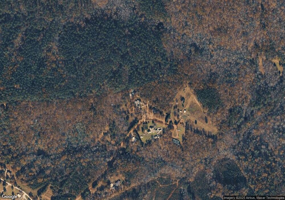
Map
Nearby Homes
- 00 Whitewater Point Rd
- 0 Whitewater Point Rd
- 204 Whitewater Lake Rd
- 00 Whitewater Lake Rd
- 00 Walking Tall Ridge
- 00 Osheal Dr
- 633 N Lake Dr
- 0 Osheal Dr
- 409 the Bear Blvd
- 613 the Bear Blvd
- Tract Q the Bear Blvd
- 611 the Bear Blvd
- 00 the Bear Blvd
- 0 N Little River Rd
- 00 State Road S-37-577
- 0 State Road S-37-577
- 00 N Hwy 11
- 170 N Little River Rd
- N Lake Dr
- 00 N Little River Rd
- 330 Laurel Branch Trail
- 320 Laurel Branch Trail
- 340 Laurel Branch Trail
- 248 Pine Mountain Rd
- 241 Pine Mountain Rd
- 116 Pine Mountain Rd
- 251 Pine Mountain Rd
- Tract 1 Pine Mountain Rd
- 58.73 acres Pine Mountain Rd
- Lots 20&21 Pine Mountain Rd
- Lots 20&21 Pine Mountain Rd
- 00 Pine Mountain Rd
- 00 Pine Mountain Rd
- 259 Whitmire Church Rd
- 261 Whitmire Church Rd
- 231 Whitmire Church Rd
- 1 W H 7
- 4 W H 7
- 209 W H 7
- 00 W H 7