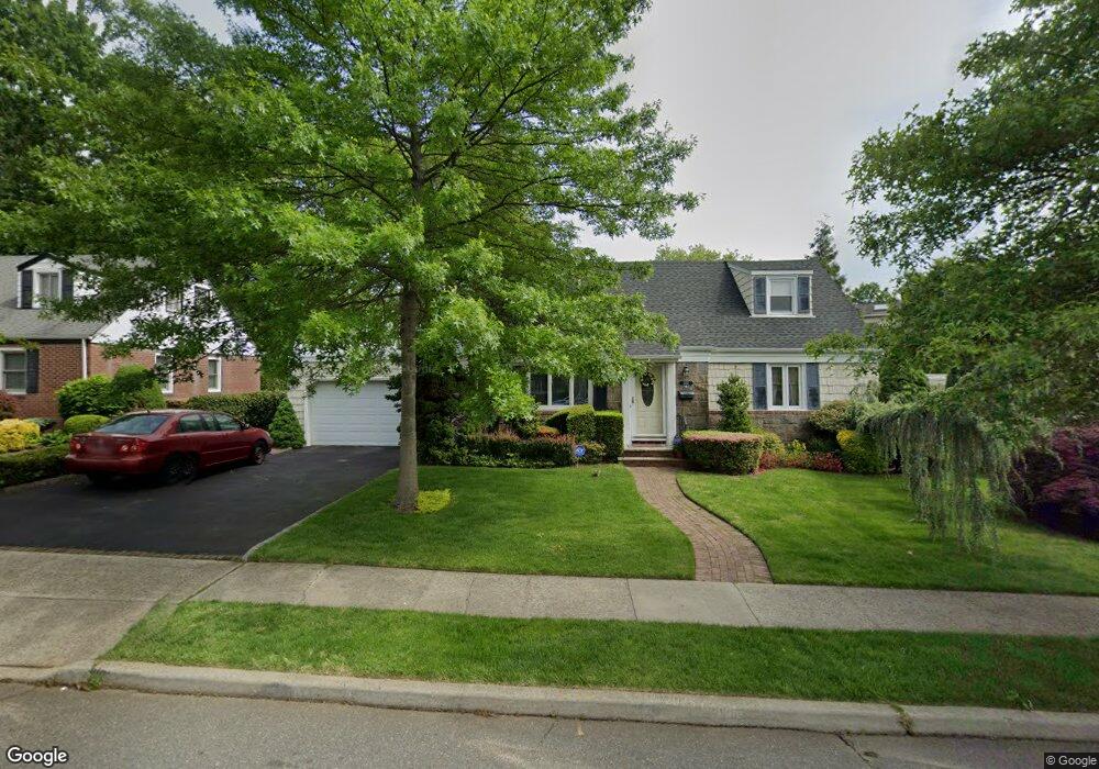
333 Laurel Rd West Hempstead, NY 11552
Estimated Value: $679,831 - $760,000
Studio
2
Baths
1,520
Sq Ft
$474/Sq Ft
Est. Value
About This Home
This home is located at 333 Laurel Rd, West Hempstead, NY 11552 and is currently estimated at $719,916, approximately $473 per square foot. 333 Laurel Rd is a home located in Nassau County with nearby schools including Chestnut Street School, West Hempstead Middle School, and West Hempstead Secondary School.
Ownership History
Date
Name
Owned For
Owner Type
Purchase Details
Closed on
Sep 2, 2016
Sold by
Geyer Thomas P and Chiauzzi Mary Lou
Bought by
Geyer Thomas P and Chiauzzi Mary Lou
Current Estimated Value
Purchase Details
Closed on
Oct 12, 1995
Sold by
Aronson Seymour and Aronson Judith
Bought by
Geyer Thomas and Chiauzzi Mary
Home Financials for this Owner
Home Financials are based on the most recent Mortgage that was taken out on this home.
Original Mortgage
$145,600
Outstanding Balance
$1,022
Interest Rate
7.6%
Estimated Equity
$718,894
Create a Home Valuation Report for This Property
The Home Valuation Report is an in-depth analysis detailing your home's value as well as a comparison with similar homes in the area
Home Values in the Area
Average Home Value in this Area
Purchase History
| Date | Buyer | Sale Price | Title Company |
|---|---|---|---|
| Geyer Thomas P | -- | None Available | |
| Geyer Thomas | $165,600 | -- |
Source: Public Records
Mortgage History
| Date | Status | Borrower | Loan Amount |
|---|---|---|---|
| Open | Geyer Thomas | $145,600 |
Source: Public Records
Tax History
| Year | Tax Paid | Tax Assessment Tax Assessment Total Assessment is a certain percentage of the fair market value that is determined by local assessors to be the total taxable value of land and additions on the property. | Land | Improvement |
|---|---|---|---|---|
| 2025 | $10,819 | $476 | $243 | $233 |
| 2024 | $4,167 | $502 | $256 | $246 |
Source: Public Records
Map
Nearby Homes
- 369 Woodfield Rd
- 447 Chestnut St
- 268 Spruce St
- 217 Wilson St
- 512 Elm St
- 218 Colony St
- 227 Colony St
- 590 Langley Ave
- 352 Hempstead Ave
- 240 Woodfield Rd
- 635 Hempstead Ave
- 321 Oakford St
- 412 Coolidge St
- 218 Woodlawn Rd
- 556 Park Ave
- 106 Sycamore St
- 303 Nassau Blvd
- 618 Jennings Ave
- 126 Oakland Ave
- 27 Richard St
Your Personal Tour Guide
Ask me questions while you tour the home.