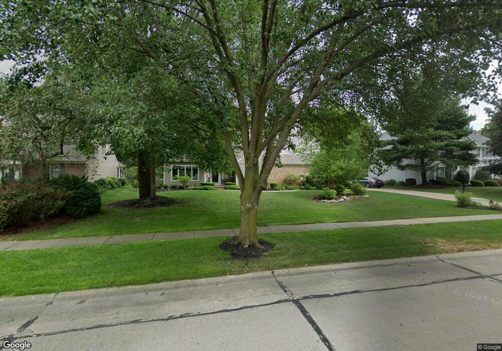
333 Long Pointe Dr Avon Lake, OH 44012
Estimated Value: $572,301 - $717,000
4
Beds
3
Baths
3,098
Sq Ft
$210/Sq Ft
Est. Value
About This Home
This home is located at 333 Long Pointe Dr, Avon Lake, OH 44012 and is currently estimated at $650,825, approximately $210 per square foot. 333 Long Pointe Dr is a home located in Lorain County with nearby schools including Eastview Elementary School, Troy Intermediate Elementary School, and Learwood Middle School.
Ownership History
Date
Name
Owned For
Owner Type
Purchase Details
Closed on
Dec 20, 1999
Sold by
Clark Steven C and Clark Annmarie C
Bought by
Anthony Richard G and Anthony Lisa C
Current Estimated Value
Home Financials for this Owner
Home Financials are based on the most recent Mortgage that was taken out on this home.
Original Mortgage
$261,800
Outstanding Balance
$80,905
Interest Rate
7.69%
Estimated Equity
$569,920
Purchase Details
Closed on
Jun 19, 1996
Sold by
Beshay Mansour
Bought by
Clark Steven C and Clark Annmarie C
Home Financials for this Owner
Home Financials are based on the most recent Mortgage that was taken out on this home.
Original Mortgage
$170,500
Interest Rate
7.5%
Mortgage Type
New Conventional
Create a Home Valuation Report for This Property
The Home Valuation Report is an in-depth analysis detailing your home's value as well as a comparison with similar homes in the area
Home Values in the Area
Average Home Value in this Area
Purchase History
| Date | Buyer | Sale Price | Title Company |
|---|---|---|---|
| Anthony Richard G | $308,000 | Lorain County Title Co Inc | |
| Clark Steven C | $277,500 | -- |
Source: Public Records
Mortgage History
| Date | Status | Borrower | Loan Amount |
|---|---|---|---|
| Open | Anthony Richard G | $261,800 | |
| Closed | Clark Steven C | $170,500 |
Source: Public Records
Tax History Compared to Growth
Tax History
| Year | Tax Paid | Tax Assessment Tax Assessment Total Assessment is a certain percentage of the fair market value that is determined by local assessors to be the total taxable value of land and additions on the property. | Land | Improvement |
|---|---|---|---|---|
| 2024 | $7,820 | $165,260 | $56,000 | $109,260 |
| 2023 | $6,687 | $125,713 | $35,823 | $89,891 |
| 2022 | $6,617 | $125,713 | $35,823 | $89,891 |
| 2021 | $6,602 | $125,713 | $35,823 | $89,891 |
| 2020 | $6,096 | $107,540 | $30,640 | $76,900 |
| 2019 | $6,064 | $107,540 | $30,640 | $76,900 |
| 2018 | $6,329 | $107,540 | $30,640 | $76,900 |
| 2017 | $6,574 | $106,970 | $28,390 | $78,580 |
| 2016 | $6,541 | $106,970 | $28,390 | $78,580 |
| 2015 | $6,572 | $106,970 | $28,390 | $78,580 |
| 2014 | $6,376 | $98,910 | $26,250 | $72,660 |
| 2013 | $6,412 | $98,720 | $26,250 | $72,470 |
Source: Public Records
Map
Nearby Homes
- 372 Harbor Ct
- 239 S Point Dr
- 32062 Tuscan Ln Unit L-4
- 32054 Tuscan Ln Unit L-2
- 235 S Point Dr
- 225 Westwind Dr Unit 39
- 225 Westwind Dr Unit 33
- 225 Westwind Dr Unit 2
- The Capri Plan at Tuscan Village
- The Emilia Plan at Tuscan Village
- 161 Tomahawk Dr
- 191 Norman Ave
- 32012 Tuscan Ln
- 32008 Tuscan Ln
- 208 Westwind Dr
- 401 Bounty Way Unit 239
- 32150 Ventanas Cir
- 370 Lear Rd
- 505 Port Side Dr
- 124 Norman Ave
- 325 Long Pointe Dr
- 341 Long Pointe Dr
- 334 Westwind Dr
- 326 Westwind Dr
- 342 Westwind Dr
- 317 Long Pointe Dr
- 349 Long Pointe Dr
- 342 Long Pointe Dr
- 334 Long Pointe Dr
- 350 Long Pointe Dr
- 350 Westwind Dr
- 322 Westwind Dr
- 326 Long Pointe Dr
- 357 Long Pointe Dr
- 313 Long Pointe Dr
- 358 Long Pointe Dr
- 358 Westwind Dr
- 316 Westwind Dr
- 322 Long Pointe Dr
- 341 Westwind Dr