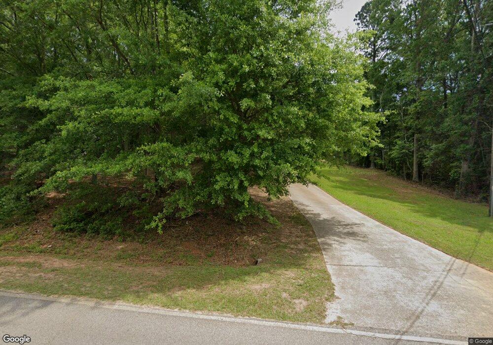
333 Maloy Rd Unit 1 Griffin, GA 30224
Spalding County NeighborhoodEstimated Value: $170,000 - $234,000
--
Bed
2
Baths
1,110
Sq Ft
$176/Sq Ft
Est. Value
About This Home
This home is located at 333 Maloy Rd Unit 1, Griffin, GA 30224 and is currently estimated at $195,378, approximately $176 per square foot. 333 Maloy Rd Unit 1 is a home located in Spalding County with nearby schools including Moreland Road Elementary School, Carver Road Middle School, and Griffin High School.
Ownership History
Date
Name
Owned For
Owner Type
Purchase Details
Closed on
Dec 24, 1997
Sold by
Remodeling Griffin
Bought by
Webb Linda A
Current Estimated Value
Home Financials for this Owner
Home Financials are based on the most recent Mortgage that was taken out on this home.
Original Mortgage
$68,000
Outstanding Balance
$11,504
Interest Rate
7.23%
Mortgage Type
New Conventional
Estimated Equity
$183,874
Purchase Details
Closed on
Dec 30, 1992
Sold by
Bolton John T and Bolton Raymond T
Bought by
Lbs & Associates Inc
Create a Home Valuation Report for This Property
The Home Valuation Report is an in-depth analysis detailing your home's value as well as a comparison with similar homes in the area
Home Values in the Area
Average Home Value in this Area
Purchase History
| Date | Buyer | Sale Price | Title Company |
|---|---|---|---|
| Webb Linda A | $68,000 | -- | |
| Lbs & Associates Inc | -- | -- |
Source: Public Records
Mortgage History
| Date | Status | Borrower | Loan Amount |
|---|---|---|---|
| Open | Webb Linda A | $68,000 |
Source: Public Records
Tax History Compared to Growth
Tax History
| Year | Tax Paid | Tax Assessment Tax Assessment Total Assessment is a certain percentage of the fair market value that is determined by local assessors to be the total taxable value of land and additions on the property. | Land | Improvement |
|---|---|---|---|---|
| 2024 | $1,681 | $48,808 | $7,200 | $41,608 |
| 2023 | $1,681 | $45,025 | $7,200 | $37,825 |
| 2022 | $1,273 | $36,826 | $6,000 | $30,826 |
| 2021 | $1,083 | $31,604 | $6,000 | $25,604 |
| 2020 | $1,044 | $30,404 | $4,800 | $25,604 |
| 2019 | $1,064 | $30,404 | $4,800 | $25,604 |
| 2018 | $998 | $27,941 | $4,800 | $23,141 |
| 2017 | $972 | $27,941 | $4,800 | $23,141 |
| 2016 | $989 | $27,941 | $4,800 | $23,141 |
| 2015 | $1,019 | $27,941 | $4,800 | $23,141 |
| 2014 | $1,039 | $27,941 | $4,800 | $23,141 |
Source: Public Records
Map
Nearby Homes
- 329 Maloy Rd
- 120 Delray Cir Unit 2
- 0 Maloy Rd Unit 7407276
- 0 Maloy Rd Unit 10322485
- 90 & 212 Kendall Dr
- 127 Canaan Ct
- 502 N Rover Rd
- 474 N Rover Rd
- 145 Wilder Way
- 0 Newnan Rd Unit 10550410
- 128 Wilder Way
- 1725 Wesminster Dr
- 121 Wilder Way
- 1818 Abbey Rd
- 1851 Abbey Rd
- 103 Jacqueline Dr
- 1838 Abbey Rd
- 1725 Wesminster Cir
- 117 Mixon St
- 3890 Newnan Rd
- 100 Maloy Estates Dr Unit 1
- 325 Maloy Rd
- 101 Maloy Estates Dr Unit 1
- 119 Princess Cir
- 117 Princess Cir Unit 2
- 115 Princess Cir Unit 2
- 203 Seminary Ridge Unit 21
- 205 Seminary Ridge
- 113 Princess Cir
- 0 Princess Cir Unit 7182615
- 0 Princess Cir Unit 7495945
- 0 Princess Cir Unit 7219549
- 0 Princess Cir Unit 7500932
- 0 Princess Cir Unit 7338371
- 0 Princess Cir Unit 7158963
- 0 Princess Cir Unit 3249594
- 0 Princess Cir Unit 8699641
- 0 Princess Cir Unit 8386695
- 0 Princess Cir Unit 8222539
- 0 Princess Cir Unit 3174570
