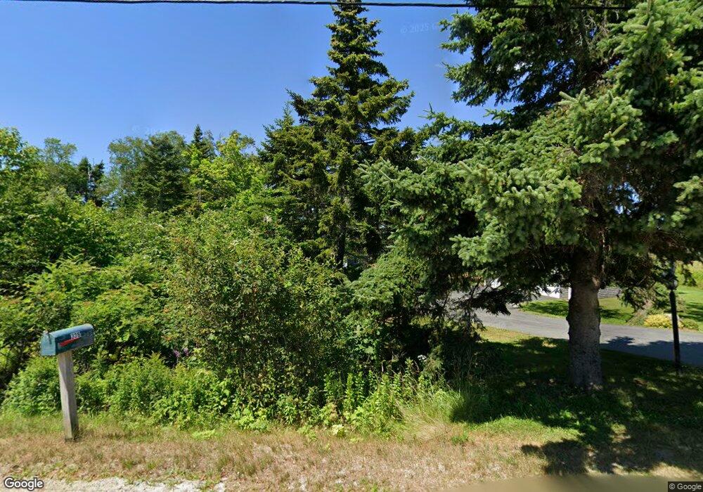
333 Mooseneck Rd Addison, ME 04606
Estimated Value: $468,000 - $743,000
Studio
1
Bath
2,422
Sq Ft
$251/Sq Ft
Est. Value
About This Home
This home is located at 333 Mooseneck Rd, Addison, ME 04606 and is currently estimated at $607,535, approximately $250 per square foot. 333 Mooseneck Rd is a home.
Create a Home Valuation Report for This Property
The Home Valuation Report is an in-depth analysis detailing your home's value as well as a comparison with similar homes in the area
Tax History
| Year | Tax Paid | Tax Assessment Tax Assessment Total Assessment is a certain percentage of the fair market value that is determined by local assessors to be the total taxable value of land and additions on the property. | Land | Improvement |
|---|---|---|---|---|
| 2025 | $6,954 | $360,300 | $133,400 | $226,900 |
| 2024 | $6,745 | $360,300 | $133,400 | $226,900 |
| 2023 | $6,204 | $360,300 | $133,400 | $226,900 |
| 2022 | $5,876 | $354,000 | $127,100 | $226,900 |
| 2021 | $5,876 | $354,000 | $127,100 | $226,900 |
| 2020 | $5,664 | $354,000 | $127,100 | $226,900 |
| 2019 | $5,629 | $354,000 | $127,100 | $226,900 |
| 2018 | $5,629 | $354,000 | $127,100 | $226,900 |
| 2017 | $5,629 | $354,000 | $127,100 | $226,900 |
| 2016 | $5,168 | $354,000 | $127,100 | $226,900 |
| 2015 | $5,080 | $354,000 | $127,100 | $226,900 |
| 2014 | $4,744 | $354,000 | $127,100 | $226,900 |
| 2013 | $4,459 | $356,700 | $127,100 | $229,600 |
Source: Public Records
Map
Nearby Homes
- 397 Cape Split Rd
- 00 Eagle Island
- M17L21 Basin Rd
- map 17 Basin Rd Unit lot 24
- 780 E Side Rd
- 0 Pomp Island Unit 1652405
- 29 Hotel Cove Rd
- 251 Ripley Neck Rd
- Lot 13 Reef Point Rd
- Lot 12 Reef Point Rd
- M20L2 E Side Rd
- 29 Reef Point Rd
- Lot 15-5 Fort Williams Rd
- Lot # 15-2 Fort Williams Rd
- Lot B Fort Williams Rd
- 33 Barneys Cove Rd
- 52 Main St
- Lot 2 Seaduck Rd
- 55 Wilders Way
- Lot #8 Seaberry Landing Rd
- 341 Mooseneck Rd
- 336 Mooseneck Rd
- 334 Mooseneck Rd
- 325 Mooseneck Rd
- 319 Mooseneck Rd
- 342 Mooseneck Rd
- 0 Narrows Rd Unit 509589
- 0 Narrows Rd Unit 1033877
- 0 Narrows Rd Unit 1124102
- 309 Mooseneck Rd
- 326 Mooseneck Rd
- 9 Narrows Rd
- 16 Narrows Rd
- 6 Narrows Rd
- 355 Mooseneck Rd
- 305 Mooseneck Rd
- 308 Mooseneck Rd
- 23 Narrows Rd
- 297 Mooseneck Rd
- 300 Mooseneck Rd
Your Personal Tour Guide
Ask me questions while you tour the home.