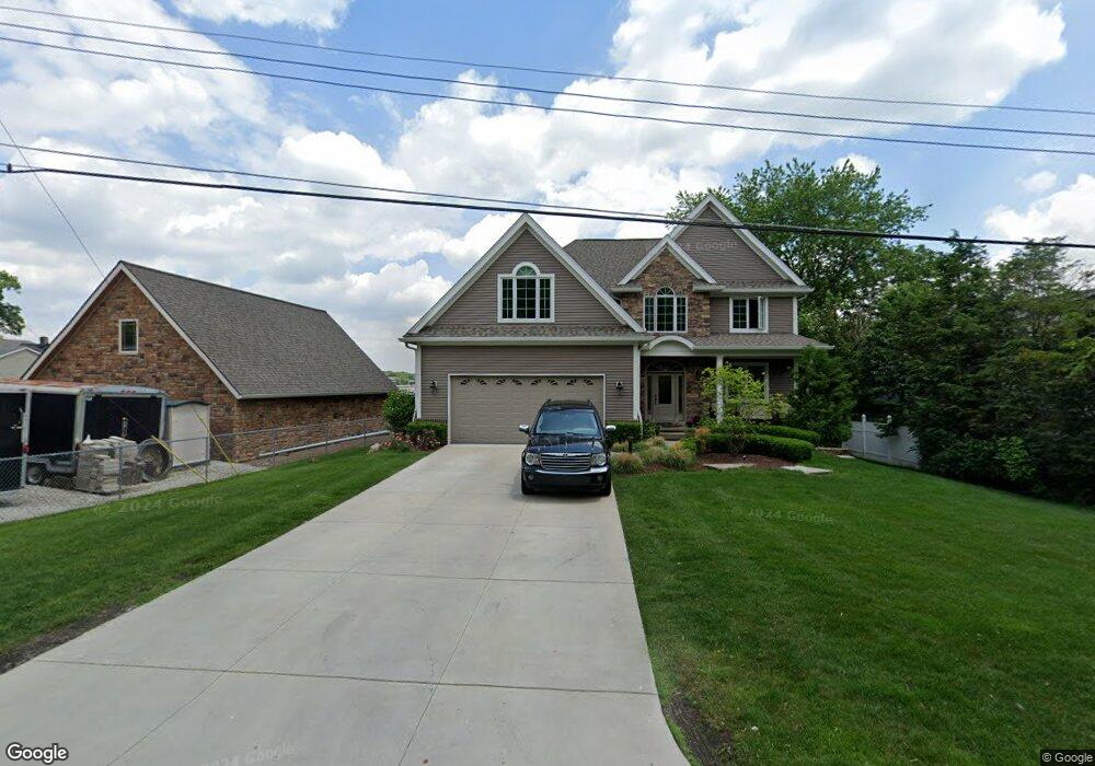
333 Osprey St Walled Lake, MI 48390
Estimated Value: $382,000 - $1,328,360
4
Beds
4
Baths
2,944
Sq Ft
$305/Sq Ft
Est. Value
About This Home
This home is located at 333 Osprey St, Walled Lake, MI 48390 and is currently estimated at $896,590, approximately $304 per square foot. 333 Osprey St is a home located in Oakland County with nearby schools including Walled Lake Elementary School, Sarah G. Banks Middle School, and Walled Lake Western High School.
Ownership History
Date
Name
Owned For
Owner Type
Purchase Details
Closed on
Sep 29, 1999
Sold by
Ryamond Peter Maly
Bought by
Atwater Carl B
Current Estimated Value
Purchase Details
Closed on
Dec 9, 1994
Sold by
Vonvonschlager Rick Von
Bought by
Maly Raymond P
Home Financials for this Owner
Home Financials are based on the most recent Mortgage that was taken out on this home.
Original Mortgage
$209,000
Interest Rate
8%
Mortgage Type
New Conventional
Create a Home Valuation Report for This Property
The Home Valuation Report is an in-depth analysis detailing your home's value as well as a comparison with similar homes in the area
Home Values in the Area
Average Home Value in this Area
Purchase History
| Date | Buyer | Sale Price | Title Company |
|---|---|---|---|
| Atwater Carl B | $299,900 | -- | |
| Maly Raymond P | $220,000 | -- |
Source: Public Records
Mortgage History
| Date | Status | Borrower | Loan Amount |
|---|---|---|---|
| Previous Owner | Maly Raymond P | $209,000 |
Source: Public Records
Tax History Compared to Growth
Tax History
| Year | Tax Paid | Tax Assessment Tax Assessment Total Assessment is a certain percentage of the fair market value that is determined by local assessors to be the total taxable value of land and additions on the property. | Land | Improvement |
|---|---|---|---|---|
| 2024 | $18,106 | $571,220 | $0 | $0 |
| 2023 | $17,061 | $587,560 | $0 | $0 |
| 2022 | $17,184 | $531,450 | $0 | $0 |
| 2021 | $17,409 | $507,900 | $0 | $0 |
| 2020 | $16,445 | $467,980 | $0 | $0 |
| 2019 | $17,079 | $401,220 | $0 | $0 |
| 2018 | $17,050 | $441,430 | $0 | $0 |
| 2017 | $16,888 | $432,220 | $0 | $0 |
| 2016 | $16,935 | $408,070 | $0 | $0 |
| 2015 | -- | $370,430 | $0 | $0 |
| 2014 | -- | $132,500 | $0 | $0 |
| 2011 | -- | $120,680 | $0 | $0 |
Source: Public Records
Map
Nearby Homes
- 1778 Addison Cir
- 1777 Addison Cir
- 895 S Pontiac Trail Unit 203
- 855 S Pontiac Trail Unit A205
- 44900 Bayview Dr Unit 21
- 149 N Haven St
- 1254 Glenwood Ct
- 1249 Glenwood Ct
- 325 Glenwood Dr Unit 12
- 44847 Larkspur Unit 9
- 1640 High Pointe Dr
- 461 Alexander Dr
- 1035 E Walled Lake Dr
- 1900 S Lake Ct
- 420 Wellsboro St
- 132 Copper Ridge Ct
- 549 Winwood Ct
- 464 Old Pine Way Unit 159
- 413 Village Dr Unit 174
- 470 Old Pine Way Unit 162