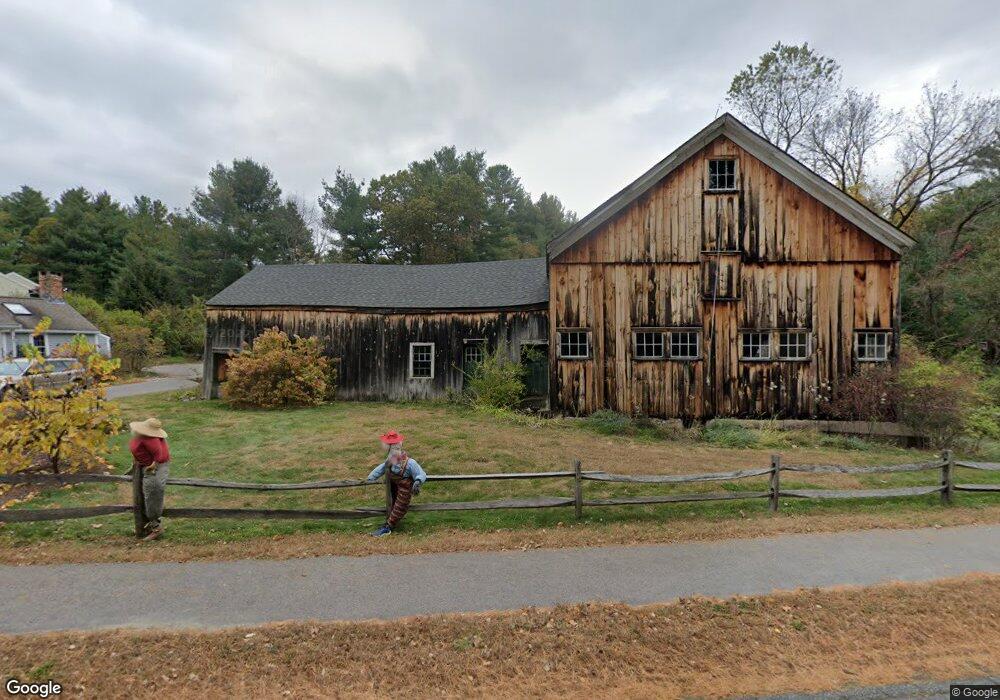
333 Peakham Rd Sudbury, MA 01776
Estimated Value: $861,352 - $1,028,000
3
Beds
2
Baths
1,837
Sq Ft
$508/Sq Ft
Est. Value
About This Home
This home is located at 333 Peakham Rd, Sudbury, MA 01776 and is currently estimated at $932,588, approximately $507 per square foot. 333 Peakham Rd is a home located in Middlesex County with nearby schools including Peter Noyes Elementary School, Ephraim Curtis Middle School, and Lincoln-Sudbury Regional High School.
Ownership History
Date
Name
Owned For
Owner Type
Purchase Details
Closed on
Aug 19, 2009
Sold by
Peterson Matthew C and Peterson Aimee C
Bought by
Buttner Rt and Buttner Marianne B
Current Estimated Value
Home Financials for this Owner
Home Financials are based on the most recent Mortgage that was taken out on this home.
Original Mortgage
$150,000
Outstanding Balance
$97,701
Interest Rate
5.19%
Mortgage Type
Purchase Money Mortgage
Estimated Equity
$834,887
Purchase Details
Closed on
Sep 11, 1992
Sold by
Noyes Robert A and Noyes Dorothy J
Bought by
Peterson Matthew C and Peterson Aimee C
Create a Home Valuation Report for This Property
The Home Valuation Report is an in-depth analysis detailing your home's value as well as a comparison with similar homes in the area
Home Values in the Area
Average Home Value in this Area
Purchase History
| Date | Buyer | Sale Price | Title Company |
|---|---|---|---|
| Buttner Rt | $495,000 | -- | |
| Peterson Matthew C | $223,500 | -- |
Source: Public Records
Mortgage History
| Date | Status | Borrower | Loan Amount |
|---|---|---|---|
| Open | Buttner Rt | $150,000 | |
| Previous Owner | Peterson Matthew C | $228,200 | |
| Previous Owner | Peterson Matthew C | $77,700 | |
| Previous Owner | Peterson Matthew C | $236,250 |
Source: Public Records
Tax History Compared to Growth
Tax History
| Year | Tax Paid | Tax Assessment Tax Assessment Total Assessment is a certain percentage of the fair market value that is determined by local assessors to be the total taxable value of land and additions on the property. | Land | Improvement |
|---|---|---|---|---|
| 2025 | $11,298 | $771,700 | $449,000 | $322,700 |
| 2024 | $10,870 | $744,000 | $436,200 | $307,800 |
| 2023 | $10,198 | $646,700 | $404,600 | $242,100 |
| 2022 | $10,027 | $555,500 | $372,200 | $183,300 |
| 2021 | $10,535 | $559,500 | $372,200 | $187,300 |
| 2020 | $10,323 | $559,500 | $372,200 | $187,300 |
| 2019 | $10,021 | $559,500 | $372,200 | $187,300 |
| 2018 | $10,224 | $570,200 | $396,200 | $174,000 |
| 2017 | $9,651 | $544,000 | $377,400 | $166,600 |
| 2016 | $9,411 | $528,700 | $363,400 | $165,300 |
| 2015 | $9,018 | $512,400 | $349,800 | $162,600 |
| 2014 | $9,011 | $499,800 | $339,800 | $160,000 |
Source: Public Records
Map
Nearby Homes
- 7 Saddle Ridge Rd
- 89 Bridle Path
- 30 Rolling Ln
- 12 Hickory Rd
- 0 Robbins Rd
- 270 Old Lancaster Rd
- 21 Summer St
- 143 Peakham Rd
- 7 Adams Rd
- 24 Woodland Rd
- 0 Boston Post Rd
- 24 Goodnow Rd
- 36 Old Forge Ln
- 1011 Boston Post Rd
- 36 Concord Rd
- 47 Fairbank Rd
- 4 Elderberry Cir
- 23 Massasoit Ave
- 123 Dutton Rd
- 54 Phillips Rd
- 342 Peakham Rd
- 342 Peakham Rd Unit 1
- 3 Marked Tree Rd
- 4 Marked Tree Rd
- 4 Marked Tree Rd
- 345 Peakham Rd
- 344 Peakham Rd
- 357 Peakham Rd
- 324 Peakham Rd
- 11 Marked Tree Rd
- 319 Peakham Rd
- 18 Noyes Ln
- 321 Peakham Rd
- 356 Peakham Rd
- 16 Marked Tree Rd
- 358 Peakham Rd
- 22 Newton Rd
- 199 Horse Pond Rd
- 311 Peakham Rd
- 87 Meadowbrook Cir