333 Pheasant Ridge Rd Lewisburg, PA 17837
East Buffalo Township NeighborhoodEstimated Value: $412,000 - $473,000
3
Beds
1
Bath
2,324
Sq Ft
$189/Sq Ft
Est. Value
About This Home
This home is located at 333 Pheasant Ridge Rd, Lewisburg, PA 17837 and is currently estimated at $440,189, approximately $189 per square foot. 333 Pheasant Ridge Rd is a home located in Union County with nearby schools including Kelly Elementary School, Linntown Elementary School, and Donald H. Eichhorn Middle School.
Ownership History
Date
Name
Owned For
Owner Type
Purchase Details
Closed on
May 4, 2021
Sold by
Morell Dennis F and Morell Renee R
Bought by
Walling Kevin C
Current Estimated Value
Home Financials for this Owner
Home Financials are based on the most recent Mortgage that was taken out on this home.
Original Mortgage
$313,500
Outstanding Balance
$284,109
Interest Rate
3.1%
Mortgage Type
New Conventional
Estimated Equity
$156,080
Create a Home Valuation Report for This Property
The Home Valuation Report is an in-depth analysis detailing your home's value as well as a comparison with similar homes in the area
Home Values in the Area
Average Home Value in this Area
Purchase History
| Date | Buyer | Sale Price | Title Company |
|---|---|---|---|
| Walling Kevin C | $330,000 | Other | |
| Walling Kevin C | $330,000 | None Available |
Source: Public Records
Mortgage History
| Date | Status | Borrower | Loan Amount |
|---|---|---|---|
| Open | Walling Kevin C | $313,500 | |
| Closed | Walling Kevin C | $313,500 |
Source: Public Records
Tax History Compared to Growth
Tax History
| Year | Tax Paid | Tax Assessment Tax Assessment Total Assessment is a certain percentage of the fair market value that is determined by local assessors to be the total taxable value of land and additions on the property. | Land | Improvement |
|---|---|---|---|---|
| 2025 | $5,116 | $174,300 | $47,200 | $127,100 |
| 2024 | $4,978 | $174,300 | $47,200 | $127,100 |
| 2023 | $4,828 | $174,300 | $47,200 | $127,100 |
| 2022 | $4,819 | $174,300 | $47,200 | $127,100 |
| 2021 | $4,840 | $174,300 | $47,200 | $127,100 |
| 2020 | $4,844 | $174,300 | $47,200 | $127,100 |
| 2019 | $48,804 | $174,300 | $47,200 | $127,100 |
| 2018 | $4,814 | $174,300 | $47,200 | $127,100 |
| 2017 | $4,814 | $174,300 | $47,200 | $127,100 |
| 2016 | $4,631 | $174,300 | $47,200 | $127,100 |
| 2015 | -- | $174,300 | $47,200 | $127,100 |
| 2014 | -- | $174,300 | $47,200 | $127,100 |
Source: Public Records
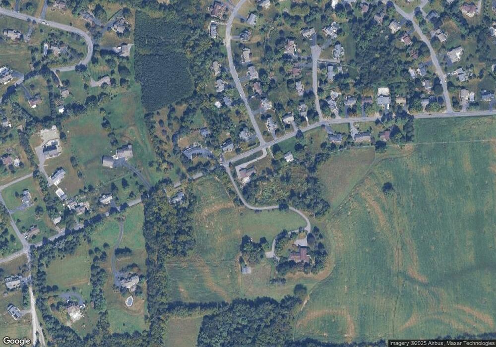
Map
Nearby Homes
- 211 James Rd
- 96 Dogwood Ln
- 223 Country Rd
- 300 Sunnyside Dr
- 36 Classic Hills Dr
- 169 Windsor Way
- 217 Hardscrabble Ln
- 84 Windsor Way
- 114 Windsor Way
- 237 Hardscrabble Ln
- 692 Beagle Club Rd
- 407 S 20th St
- 2111 Madison Ave
- 688 Beagle Club Rd
- 612 Stein Ln
- LOT 3 Smoketown Rd
- 2935 Smoketown Rd
- 609 Hardscrabble Ln
- 137 Valley View Rd
- 85 Poplar Rd
- 340 Pheasant Ridge Rd
- 478 James Rd
- 281 Pheasant Ridge Rd
- 477 James Rd
- 376 Pheasant Ridge Rd
- 266 Pheasant Ridge Rd
- 438 James Rd
- 457 James Rd
- 1 Edward Cir
- 21 Edward Cir
- 437 James Rd
- 418 James Rd
- 413 Pheasant Ridge Rd
- 400 Pheasant Ridge Rd
- 43 Edward Cir
- 217 Pheasant Ridge Rd
- 351 Pheasant Ridge Rd
- 415 James Rd
- 402 James Rd
- 63 Edward Cir