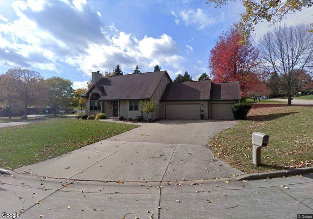
333 Pheasant Run Kaukauna, WI 54130
Estimated Value: $313,460 - $380,000
--
Bed
--
Bath
--
Sq Ft
3,572
Sq Ft Lot
About This Home
This home is located at 333 Pheasant Run, Kaukauna, WI 54130 and is currently estimated at $341,615. 333 Pheasant Run is a home located in Outagamie County with nearby schools including River View School, Kaukauna High School, and St. John Nepomucene School.
Ownership History
Date
Name
Owned For
Owner Type
Purchase Details
Closed on
Apr 25, 2025
Sold by
Kenneth T Thompson Irrevocable Trust and Koch Virginia L
Bought by
Virginia L Koch Trust
Current Estimated Value
Purchase Details
Closed on
Apr 16, 2014
Sold by
Thompson Kenneth T
Bought by
Thompson Kenneth T
Purchase Details
Closed on
Jun 18, 2010
Sold by
Thompson Kenneth T
Bought by
Thompson Kenneth T
Create a Home Valuation Report for This Property
The Home Valuation Report is an in-depth analysis detailing your home's value as well as a comparison with similar homes in the area
Home Values in the Area
Average Home Value in this Area
Purchase History
| Date | Buyer | Sale Price | Title Company |
|---|---|---|---|
| Virginia L Koch Trust | -- | None Listed On Document | |
| Thompson Kenneth T | -- | -- | |
| Koch Virginia L | -- | -- | |
| Thompson Kenneth T | $95,800 | -- |
Source: Public Records
Tax History Compared to Growth
Tax History
| Year | Tax Paid | Tax Assessment Tax Assessment Total Assessment is a certain percentage of the fair market value that is determined by local assessors to be the total taxable value of land and additions on the property. | Land | Improvement |
|---|---|---|---|---|
| 2024 | $4,017 | $220,600 | $15,200 | $205,400 |
| 2023 | $3,607 | $220,600 | $15,200 | $205,400 |
| 2022 | $3,364 | $220,600 | $15,200 | $205,400 |
| 2021 | $3,399 | $220,600 | $15,200 | $205,400 |
| 2020 | $3,830 | $180,800 | $14,300 | $166,500 |
| 2019 | $3,783 | $180,800 | $14,300 | $166,500 |
| 2018 | $3,804 | $180,800 | $14,300 | $166,500 |
| 2017 | $3,667 | $180,800 | $14,300 | $166,500 |
| 2016 | $3,579 | $180,800 | $14,300 | $166,500 |
| 2015 | $3,615 | $180,800 | $14,300 | $166,500 |
| 2014 | $3,485 | $180,800 | $14,300 | $166,500 |
| 2013 | $3,755 | $178,000 | $15,600 | $162,400 |
Source: Public Records
Map
Nearby Homes
- 604 Michigan Lane Ct
- 608 Michigan Lane Ct
- 425 Klein St
- 601 Carol Lynn Dr
- 1031 Melrose Ct
- 205 Klein St
- 106 Hayes St
- 417 W 11th St
- 118 W 6th St
- 123 W 10th St
- 1207 Hietpas St
- 213 Fairway St
- 825 Park Ave
- 107 Lamine Ln
- 1115 Roosevelt St
- 227 E 10th St
- 608 Black St
- 1401 Main Ave
- 1601 Main Ave
- 632 Idlewild St
- 409 Pheasant Run
- 313 Pheasant Run
- 415 Pheasant Run
- 326 Pheasant Run
- 307 Pheasant Run
- 320 Pheasant Run
- 400 Pheasant Run
- 332 Pheasant Run
- 404 Pheasant Run
- 412 Pheasant Run
- 314 Pheasant Run
- 416 Pheasant Run
- 419 Pheasant Run
- 2211 Riverside Dr
- 301 Pheasant Run
- 2207 Riverside Dr
- 308 Pheasant Run
- 420 Pheasant Run
- 2105 Riverside Dr
- 423 Pheasant Run