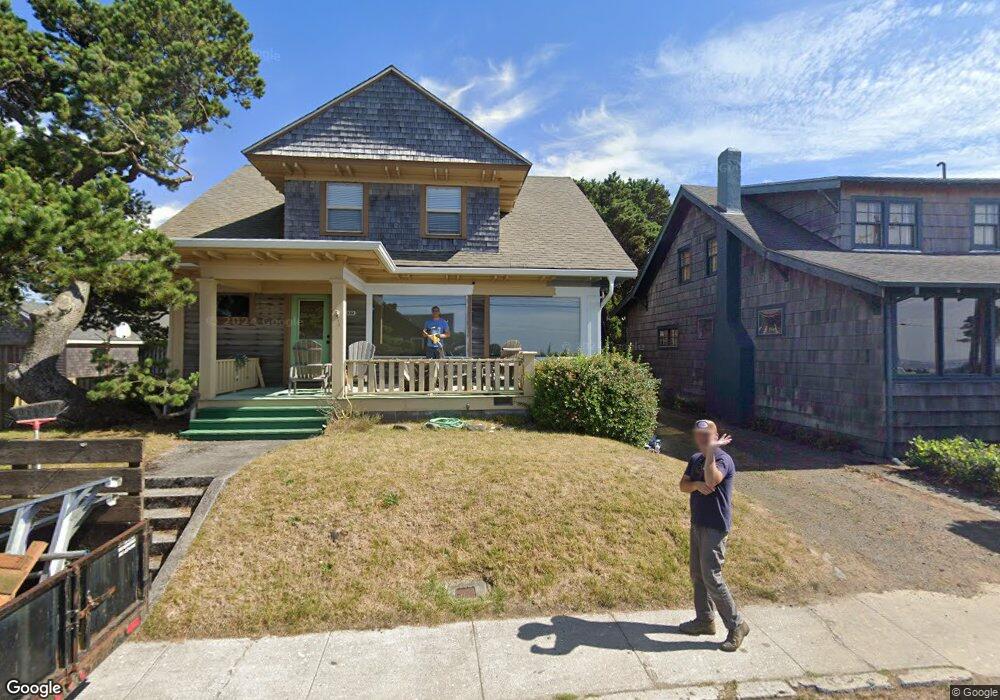
333 S Ocean Ave Seaside, OR 97138
Estimated Value: $1,369,000 - $1,902,000
4
Beds
2
Baths
1,932
Sq Ft
$832/Sq Ft
Est. Value
About This Home
This home is located at 333 S Ocean Ave, Seaside, OR 97138 and is currently estimated at $1,607,984, approximately $832 per square foot. 333 S Ocean Ave is a home located in Clatsop County with nearby schools including Seaside High School.
Ownership History
Date
Name
Owned For
Owner Type
Purchase Details
Closed on
Oct 31, 2013
Sold by
Abel Talya Shuler and Gault Alice
Bought by
Ziegler Bonnie R and Ziegler Robert T
Current Estimated Value
Home Financials for this Owner
Home Financials are based on the most recent Mortgage that was taken out on this home.
Original Mortgage
$425,000
Outstanding Balance
$316,480
Interest Rate
4.27%
Mortgage Type
New Conventional
Estimated Equity
$1,291,504
Purchase Details
Closed on
Nov 22, 2010
Sold by
King Adella C
Bought by
Abel Talya Shuler
Purchase Details
Closed on
Dec 27, 2007
Sold by
Shuler Ruth P
Bought by
Gault Alice Shuler
Create a Home Valuation Report for This Property
The Home Valuation Report is an in-depth analysis detailing your home's value as well as a comparison with similar homes in the area
Purchase History
| Date | Buyer | Sale Price | Title Company |
|---|---|---|---|
| Ziegler Bonnie R | $661,500 | Pacific Title Company | |
| Abel Talya Shuler | -- | None Available | |
| Gault Alice Shuler | -- | Pacific Title Company |
Source: Public Records
Mortgage History
| Date | Status | Borrower | Loan Amount |
|---|---|---|---|
| Open | Ziegler Bonnie R | $425,000 |
Source: Public Records
Tax History
| Year | Tax Paid | Tax Assessment Tax Assessment Total Assessment is a certain percentage of the fair market value that is determined by local assessors to be the total taxable value of land and additions on the property. | Land | Improvement |
|---|---|---|---|---|
| 2025 | $8,146 | $745,757 | -- | -- |
| 2024 | $8,281 | $724,037 | -- | -- |
| 2023 | $8,049 | $702,950 | $0 | $0 |
| 2022 | $7,808 | $682,476 | $0 | $0 |
| 2021 | $7,970 | $662,599 | $0 | $0 |
| 2020 | $7,688 | $643,301 | $0 | $0 |
| 2019 | $7,490 | $624,565 | $0 | $0 |
| 2018 | $7,219 | $606,375 | $0 | $0 |
| 2017 | $7,028 | $588,714 | $0 | $0 |
| 2016 | $6,071 | $571,568 | $445,185 | $126,383 |
| 2015 | $5,871 | $554,921 | $432,219 | $122,702 |
| 2014 | $5,390 | $520,344 | $0 | $0 |
| 2013 | -- | $505,189 | $0 | $0 |
Source: Public Records
Map
Nearby Homes
- 1396 N Ocean Ave
- 1255 A St
- 735 3rd St
- 934 H St
- 782 Woodland Ct
- 641 6th St
- 750 5th St
- 856 Neacoxie Blvd
- 856 Neacoxie Blvd Unit 311
- 101 13th St Unit 209
- 1065 Picture Place
- 3387-3389 U S 101
- 3389 U S 101
- 1146 N Marion Ave Unit 1-606
- 1238 N Marion Ave Unit 467
- 1238 N Marion Pacific View Condo Ave Unit 467
- 802 25th Ave
- 2674 U S 101
- 1398 N Ocean Ave
- 1400 N Ocean Ave
- 351 S Ocean Ave
- 295 S Ocean Ave
- 334 N Marion Ave
- 312 S Marion Ave
- 395 S Ocean
- 278 D St
- 395 S Ocean Ave
- 395 S Ocean Ave Unit ONE
- 294 S Marion Ave
- 293 S Ocean Ave
- 417 S Ocean Ave
- 251 S Ocean Ave
- 311 Marion Ave
- 311 S Marion Ave
- 0 S Marion Ave Unit 24-441
- 0 S Marion Ave Unit 7700
- 383 N Marion Ave
- 271 D St
- 323 S Marion Ave
- 402 S Ocean Ave
Your Personal Tour Guide
Ask me questions while you tour the home.