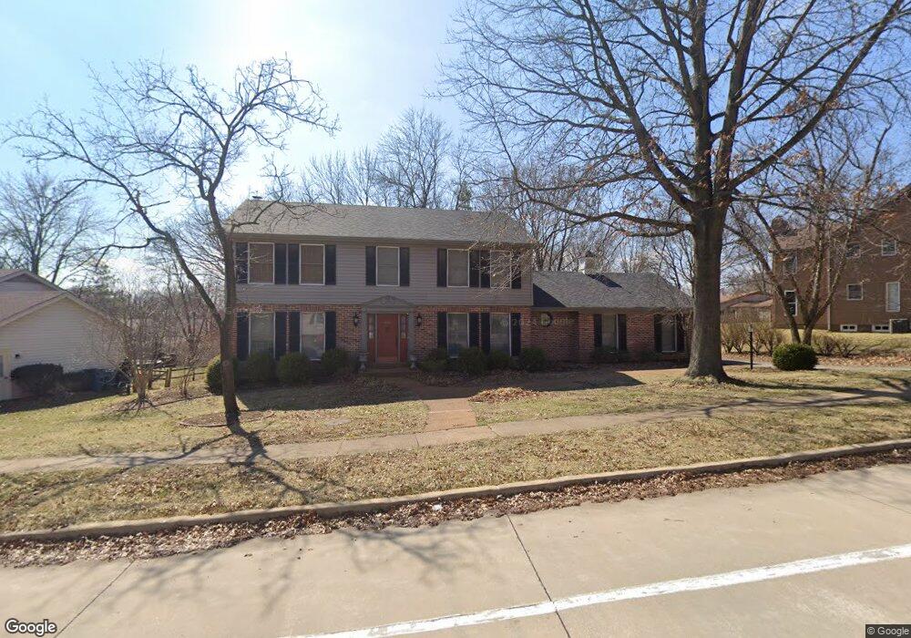
333 Stablestone Dr Chesterfield, MO 63017
Estimated Value: $538,000 - $597,000
3
Beds
4
Baths
2,672
Sq Ft
$210/Sq Ft
Est. Value
About This Home
This home is located at 333 Stablestone Dr, Chesterfield, MO 63017 and is currently estimated at $560,065, approximately $209 per square foot. 333 Stablestone Dr is a home located in St. Louis County with nearby schools including Green Trails Elementary School, Parkway Central Middle School, and Parkway Central High School.
Ownership History
Date
Name
Owned For
Owner Type
Purchase Details
Closed on
Mar 19, 2022
Sold by
Edward Meyer James and Edward Candice J
Bought by
James And Candice Meyer Family Trust
Current Estimated Value
Purchase Details
Closed on
Dec 18, 2017
Sold by
Nenninger Wayne M and Nenninger Judith K
Bought by
Meyer James Edward and Meyer Candice J
Purchase Details
Closed on
Apr 5, 2007
Sold by
Lasday Jeffrey J and Lasday Lori S
Bought by
Nenninger Wayne M and Nenninger Judith K
Purchase Details
Closed on
Jul 25, 1997
Sold by
Hasara Tim P and Hasara Dewein C
Bought by
Lasday Jeffrey J and Lasday Lori S
Home Financials for this Owner
Home Financials are based on the most recent Mortgage that was taken out on this home.
Original Mortgage
$212,800
Interest Rate
7.6%
Create a Home Valuation Report for This Property
The Home Valuation Report is an in-depth analysis detailing your home's value as well as a comparison with similar homes in the area
Home Values in the Area
Average Home Value in this Area
Purchase History
| Date | Buyer | Sale Price | Title Company |
|---|---|---|---|
| James And Candice Meyer Family Trust | -- | Creative Planning Legal Pa | |
| Meyer James Edward | -- | None Available | |
| Nenninger Wayne M | $332,000 | None Available | |
| Lasday Jeffrey J | -- | -- |
Source: Public Records
Mortgage History
| Date | Status | Borrower | Loan Amount |
|---|---|---|---|
| Previous Owner | Lasday Jeffrey J | $212,800 |
Source: Public Records
Tax History
| Year | Tax Paid | Tax Assessment Tax Assessment Total Assessment is a certain percentage of the fair market value that is determined by local assessors to be the total taxable value of land and additions on the property. | Land | Improvement |
|---|---|---|---|---|
| 2025 | $5,667 | $94,700 | $43,530 | $51,170 |
| 2024 | $5,667 | $85,710 | $27,090 | $58,620 |
| 2023 | $5,436 | $85,710 | $27,090 | $58,620 |
| 2022 | $5,224 | $74,950 | $30,950 | $44,000 |
| 2021 | $5,203 | $74,950 | $30,950 | $44,000 |
| 2020 | $5,352 | $74,060 | $30,590 | $43,470 |
| 2019 | $5,235 | $74,060 | $30,590 | $43,470 |
| 2018 | $4,967 | $65,150 | $23,010 | $42,140 |
| 2017 | $4,832 | $65,150 | $23,010 | $42,140 |
| 2016 | $4,609 | $59,040 | $16,570 | $42,470 |
Source: Public Records
Map
Nearby Homes
- 14327 Bramblewood Ct
- 114 Trailswest Dr
- 135 Greentrails Dr S
- 224 Brayhill Ct
- 14121 Parliament Dr
- 14065 Boxford Ct
- 153 Kendall Bluff Ct
- 232 Cordovan Commons Pkwy
- 160 New Holland Dr
- 394 Branchport Dr
- 357 N Woods Mill Rd
- 384 Greentrails Dr S
- 15216 Nooning Tree Ct
- 13579 Coliseum Dr Unit G
- 330 Calliope Place
- 13430 Manorlac Dr
- 13489 Beaulac Dr
- 295 Ridge Trail Dr
- 13515 Coliseum Dr Unit E
- 13515 Coliseum Dr Unit A
- 319 Stablestone Dr
- 14330 Stablestone Ct
- 14353 Windcreek Dr
- 14359 Windcreek Dr
- 334 Stablestone Dr
- 311 Stablestone Dr
- 14338 Stablestone Ct
- 346 Stablestone Dr
- 14347 Windcreek Dr
- 326 Stablestone Dr
- 318 Stablestone Dr
- 14350 Stablestone Ct
- 354 Stablestone Dr
- 303 Stablestone Dr
- 310 Stablestone Dr
- 357 Stablestone Dr
- 14341 Windcreek Dr
- 14352 Windcreek Dr
- 14358 Markham Ln
- 14352 Markham Ln
Your Personal Tour Guide
Ask me questions while you tour the home.