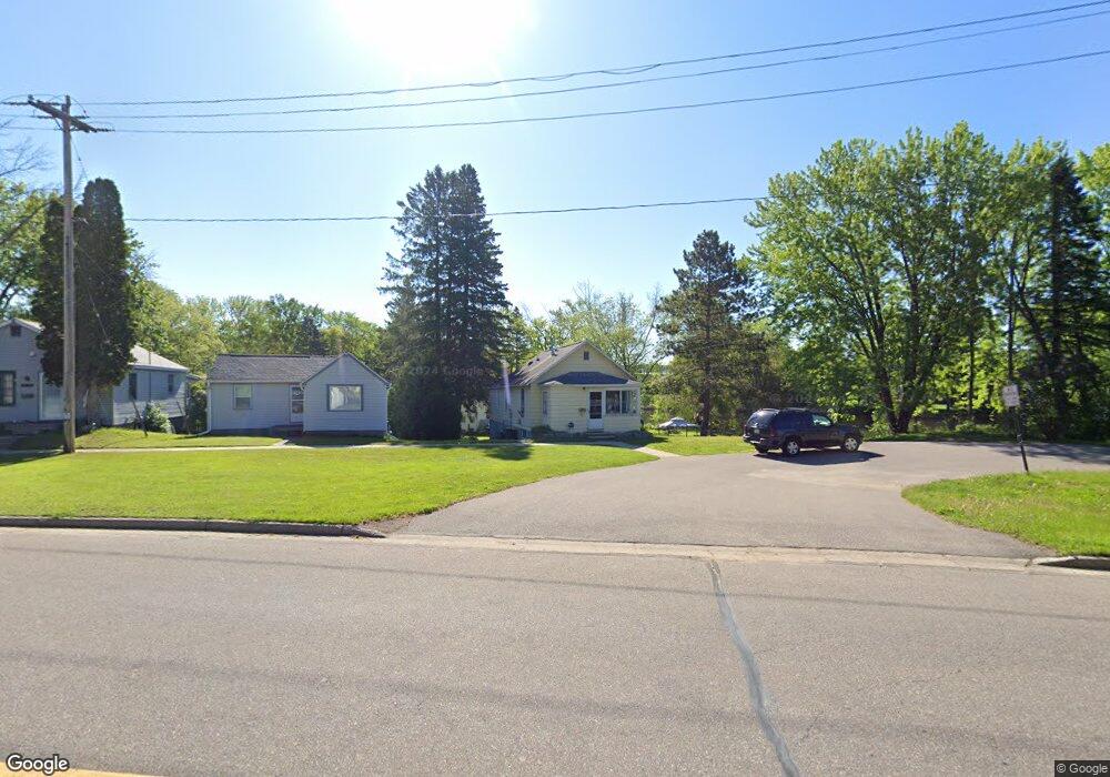
333 Sutliff Ave Rhinelander, WI 54501
Estimated Value: $156,000 - $180,000
--
Bed
--
Bath
--
Sq Ft
0.46
Acres
About This Home
This home is located at 333 Sutliff Ave, Rhinelander, WI 54501 and is currently estimated at $169,295. 333 Sutliff Ave is a home located in Oneida County with nearby schools including Crescent Elementary School, James Williams Middle School, and Rhinelander High School.
Ownership History
Date
Name
Owned For
Owner Type
Purchase Details
Closed on
Jul 3, 2014
Sold by
Gregory W Gregory W
Bought by
Newman Linnaea R and Burkett Linnaea R
Current Estimated Value
Purchase Details
Closed on
Aug 7, 2012
Sold by
Burkett Gregory W and Burkett Linnaea R
Bought by
Burkett Gregory W and Burkett Linnaea R
Home Financials for this Owner
Home Financials are based on the most recent Mortgage that was taken out on this home.
Original Mortgage
$108,000
Interest Rate
3.65%
Mortgage Type
New Conventional
Create a Home Valuation Report for This Property
The Home Valuation Report is an in-depth analysis detailing your home's value as well as a comparison with similar homes in the area
Home Values in the Area
Average Home Value in this Area
Purchase History
| Date | Buyer | Sale Price | Title Company |
|---|---|---|---|
| Newman Linnaea R | -- | Hogan & Melms, Llp | |
| Burkett Gregory W | -- | Shoreline Title Services |
Source: Public Records
Mortgage History
| Date | Status | Borrower | Loan Amount |
|---|---|---|---|
| Previous Owner | Burkett Gregory W | $108,000 |
Source: Public Records
Tax History Compared to Growth
Tax History
| Year | Tax Paid | Tax Assessment Tax Assessment Total Assessment is a certain percentage of the fair market value that is determined by local assessors to be the total taxable value of land and additions on the property. | Land | Improvement |
|---|---|---|---|---|
| 2024 | $1,975 | $80,700 | $10,800 | $69,900 |
| 2023 | $1,904 | $80,700 | $10,800 | $69,900 |
| 2022 | $1,361 | $80,700 | $10,800 | $69,900 |
| 2021 | $1,885 | $80,700 | $10,800 | $69,900 |
| 2020 | $1,452 | $80,700 | $10,800 | $69,900 |
| 2019 | $1,487 | $80,700 | $10,800 | $69,900 |
| 2018 | $1,485 | $80,700 | $10,800 | $69,900 |
| 2017 | $1,548 | $80,700 | $10,800 | $69,900 |
| 2016 | $1,618 | $80,700 | $10,800 | $69,900 |
| 2015 | $1,586 | $80,700 | $10,800 | $69,900 |
| 2014 | $1,586 | $80,700 | $10,800 | $69,900 |
| 2011 | $1,523 | $81,400 | $10,800 | $70,600 |
Source: Public Records
Map
Nearby Homes
- 413 Conro St
- 773 Balsam St
- 903 S Keenan St
- 127 E Anderson St
- 237 Maple St
- 225 Alban St
- 204 Court Park
- 51 Crescent St
- 745 W Phillip St
- 1640 Balsam St Unit 26
- Lot on Hemlock St
- 316 Dahl St
- 106 N Baird Ave
- 408 N Stevens St
- 5177 Pioneer St
- 603 Evergreen Ct
- 17 E Harvey St
- 429 Dahl St
- 825 River St
- 504 Hemlock St
- 327 Sutliff Ave
- 325 Sutliff Ave
- 315 Sutliff Ave
- 334 Sutliff Ave
- 320 Sutliff Ave
- 307 Sutliff Ave
- 308 Sutliff Ave
- 301 Sutliff Ave Unit 3
- 333 Oak St
- 329 Oak St
- 323 Oak St
- 302 Sutliff Ave
- 319 Oak St
- 510 Sutliff Ave Unit 12
- 313 Oak St
- 340 Marshall St
- 309 Oak St
- 227 Sutliff Ave
- 366 Marshall St
- 332 Marshall St