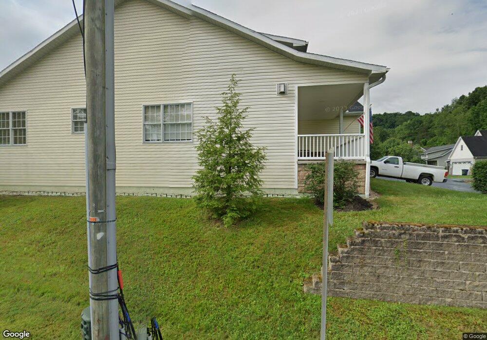
333 Tyrone Avery Rd Morgantown, WV 26508
Estimated Value: $551,000 - $842,391
4
Beds
6
Baths
3,896
Sq Ft
$180/Sq Ft
Est. Value
About This Home
This home is located at 333 Tyrone Avery Rd, Morgantown, WV 26508 and is currently estimated at $699,348, approximately $179 per square foot. 333 Tyrone Avery Rd is a home located in Monongalia County with nearby schools including Cheat Lake Elementary School, Mountaineer Middle School, and University High School.
Ownership History
Date
Name
Owned For
Owner Type
Purchase Details
Closed on
Apr 13, 2022
Sold by
Miner Alyston F
Bought by
Iii Dog Properties Llc
Current Estimated Value
Purchase Details
Closed on
Apr 5, 2019
Sold by
Assif Jeffrey and Assif Penny
Bought by
Miner Alyston F and Miner Carole S
Create a Home Valuation Report for This Property
The Home Valuation Report is an in-depth analysis detailing your home's value as well as a comparison with similar homes in the area
Home Values in the Area
Average Home Value in this Area
Purchase History
| Date | Buyer | Sale Price | Title Company |
|---|---|---|---|
| Iii Dog Properties Llc | -- | None Listed On Document | |
| Miner Alyston F | $80,000 | Robert Louis Shuman Reeder | |
| Miner Alyston F | -- | None Available |
Source: Public Records
Tax History Compared to Growth
Tax History
| Year | Tax Paid | Tax Assessment Tax Assessment Total Assessment is a certain percentage of the fair market value that is determined by local assessors to be the total taxable value of land and additions on the property. | Land | Improvement |
|---|---|---|---|---|
| 2025 | $3,396 | $317,880 | $53,220 | $264,660 |
| 2024 | $3,396 | $319,320 | $53,220 | $266,100 |
| 2023 | $3,403 | $293,280 | $36,240 | $257,040 |
| 2022 | $2,980 | $290,820 | $35,880 | $254,940 |
| 2021 | $2,995 | $290,820 | $35,880 | $254,940 |
| 2020 | $3,034 | $293,340 | $35,880 | $257,460 |
| 2019 | $3,071 | $294,780 | $35,880 | $258,900 |
| 2018 | $3,108 | $297,360 | $35,880 | $261,480 |
| 2017 | $3,107 | $295,740 | $34,260 | $261,480 |
| 2016 | $3,110 | $294,180 | $32,700 | $261,480 |
| 2015 | $2,976 | $294,360 | $30,360 | $264,000 |
| 2014 | $2,793 | $289,680 | $27,900 | $261,780 |
Source: Public Records
Map
Nearby Homes
- 1300 Deer Run
- 106 Betty Jane Dr
- Oak Park Plan at Whispering Oaks
- Lehigh Plan at Whispering Oaks
- Esquire Place Plan at Whispering Oaks
- Seneca Plan at Whispering Oaks
- Greenwood Plan at Whispering Oaks
- Normandy Plan at Whispering Oaks
- 52 Riffle Ridge Dr
- 20 Meadow Brooke Dr
- 213 Greenview Dr
- 105 Ruidosa Ln
- 315 March Ln
- 317 March Ln
- 104 Granite Dr
- 307 Anini Dr
- 102 June Ln
- 436 December Ln
- 108 Legacy Dr
- 3 Banner Place