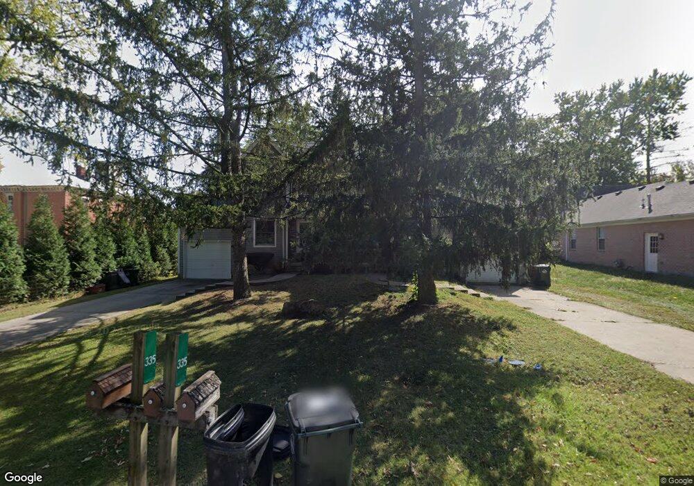
333 Union St Yellow Springs, OH 45387
Estimated Value: $373,000 - $512,117
4
Beds
6
Baths
2,304
Sq Ft
$197/Sq Ft
Est. Value
About This Home
This home is located at 333 Union St, Yellow Springs, OH 45387 and is currently estimated at $453,372, approximately $196 per square foot. 333 Union St is a home located in Greene County with nearby schools including Mills Lawn Elementary School, Yellow Springs High School & McKinney Middle School, and The Antioch School.
Ownership History
Date
Name
Owned For
Owner Type
Purchase Details
Closed on
Feb 8, 2002
Sold by
Brigalli Dean T
Bought by
Brigalli Dean T
Current Estimated Value
Home Financials for this Owner
Home Financials are based on the most recent Mortgage that was taken out on this home.
Original Mortgage
$134,850
Interest Rate
7.14%
Mortgage Type
Commercial
Purchase Details
Closed on
Jan 4, 1991
Bought by
Brigalli Dean T
Create a Home Valuation Report for This Property
The Home Valuation Report is an in-depth analysis detailing your home's value as well as a comparison with similar homes in the area
Home Values in the Area
Average Home Value in this Area
Purchase History
| Date | Buyer | Sale Price | Title Company |
|---|---|---|---|
| Brigalli Dean T | -- | -- | |
| Brigalli Dean T | $25,800 | -- |
Source: Public Records
Mortgage History
| Date | Status | Borrower | Loan Amount |
|---|---|---|---|
| Closed | Brigalli Dean T | $134,850 |
Source: Public Records
Tax History Compared to Growth
Tax History
| Year | Tax Paid | Tax Assessment Tax Assessment Total Assessment is a certain percentage of the fair market value that is determined by local assessors to be the total taxable value of land and additions on the property. | Land | Improvement |
|---|---|---|---|---|
| 2024 | $8,313 | $146,000 | $30,300 | $115,700 |
| 2023 | $8,313 | $146,000 | $30,300 | $115,700 |
| 2022 | $6,784 | $112,830 | $26,520 | $86,310 |
| 2021 | $6,534 | $112,830 | $26,520 | $86,310 |
| 2020 | $6,315 | $112,830 | $26,520 | $86,310 |
| 2019 | $6,315 | $98,930 | $21,470 | $77,460 |
| 2018 | $6,298 | $98,930 | $21,470 | $77,460 |
| 2017 | $5,590 | $98,930 | $21,470 | $77,460 |
| 2016 | $5,590 | $88,990 | $21,470 | $67,520 |
| 2015 | $5,681 | $88,990 | $21,470 | $67,520 |
| 2014 | $5,486 | $88,990 | $21,470 | $67,520 |
Source: Public Records
Map
Nearby Homes
- 513 Lincoln Ct
- 260 King St
- 504 Phillips St
- 414 S High St
- 0 Xenia Ave Unit 934833
- 0 Xenia Ave Unit 1038888
- 425 Snowdrop Dr
- 125 Park Meadows Dr
- 602 Keystone Ct
- 117 E North College St
- 235 Northwood Dr
- Fairfax Plan at Spring Meadows - Maple Street Collection
- Jensen Plan at Spring Meadows - Maple Street Collection
- Denali Plan at Spring Meadows - Maple Street Collection
- Wesley Plan at Spring Meadows - Maple Street Collection
- Greenbriar Plan at Spring Meadows - Maple Street Collection
- Breckenridge Plan at Spring Meadows - Maple Street Collection
- Cumberland Plan at Spring Meadows - Maple Street Collection
- Yosemite Plan at Spring Meadows - Maple Street Collection
- DaVinci Plan at Spring Meadows - Maple Street Collection