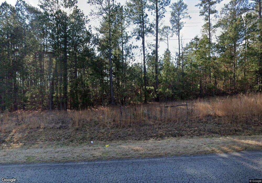
333 Unionville Rd Barnesville, GA 30204
Estimated Value: $376,000 - $502,464
3
Beds
4
Baths
2,044
Sq Ft
$208/Sq Ft
Est. Value
About This Home
This home is located at 333 Unionville Rd, Barnesville, GA 30204 and is currently estimated at $426,116, approximately $208 per square foot. 333 Unionville Rd is a home located in Lamar County with nearby schools including Samuel E. Hubbard Elementary School and Mary Persons High School.
Ownership History
Date
Name
Owned For
Owner Type
Purchase Details
Closed on
Jul 13, 2004
Bought by
Cole Roger L
Current Estimated Value
Purchase Details
Closed on
Dec 31, 2001
Sold by
Cole Roger L
Bought by
Cole Roger L and Cole Dawn
Purchase Details
Closed on
Aug 1, 1982
Bought by
Cole Roger L
Create a Home Valuation Report for This Property
The Home Valuation Report is an in-depth analysis detailing your home's value as well as a comparison with similar homes in the area
Home Values in the Area
Average Home Value in this Area
Purchase History
| Date | Buyer | Sale Price | Title Company |
|---|---|---|---|
| Cole Roger L | $7,500 | -- | |
| Cole Roger L | -- | -- | |
| Cole Roger L | -- | -- |
Source: Public Records
Tax History Compared to Growth
Tax History
| Year | Tax Paid | Tax Assessment Tax Assessment Total Assessment is a certain percentage of the fair market value that is determined by local assessors to be the total taxable value of land and additions on the property. | Land | Improvement |
|---|---|---|---|---|
| 2025 | $3,908 | $179,716 | $22,940 | $156,776 |
| 2024 | $3,908 | $154,584 | $22,940 | $131,644 |
| 2023 | $4,022 | $147,576 | $22,940 | $124,636 |
| 2022 | $3,715 | $136,459 | $22,940 | $113,519 |
| 2021 | $3,015 | $102,182 | $22,940 | $79,242 |
| 2020 | $3,174 | $102,182 | $22,940 | $79,242 |
| 2019 | $3,182 | $102,182 | $22,940 | $79,242 |
| 2018 | $3,056 | $102,182 | $22,940 | $79,242 |
| 2017 | $2,796 | $94,138 | $22,940 | $71,198 |
| 2016 | $2,797 | $94,138 | $22,940 | $71,198 |
| 2015 | $2,169 | $94,138 | $22,940 | $71,198 |
| 2014 | $1,594 | $79,970 | $26,004 | $53,966 |
| 2013 | -- | $79,970 | $26,004 | $53,966 |
Source: Public Records
Map
Nearby Homes
- 621 Unionville Rd
- 111 Possum Trot Rd
- 116 Willow Way
- 119 Willow Way
- 202 Hickory Rd
- 211 Hickory Rd
- 0 Highway 41 Unit 10655458
- 4687 Boxankle Rd
- 64 Buck Creek (Monroe Co ) Rd
- 196 Horseshoe Bend Rd
- 620 Rocky Creek Rd
- 89 Springdale Rd
- 125 Antony Dr
- 30 Mace Manor
- 43 Shady Ln
- 0 High Falls Rd Unit 10592774
- 0 High Falls Rd Unit 10567740
- 176 Springdale Rd
- 450 Lakeshore Dr
- 3862 Boxankle Rd
- 131 Bulldog Ct
- 364 Unionville Rd
- 379 Unionville Rd
- 381 Unionville Rd
- 133 Bulldog Ct
- 126 Bulldog Ct
- Lot 46 B Unionville Rd
- 143 Bulldog Ct
- 142 Bulldog Ct
- 411 Unionville Rd
- 425 Unionville Rd Unit 16
- 425 Unionville Rd
- 117 Gamecock Way
- 433 Unionville Rd
- 123 Gamecock Way
- 127 Gamecock Way
- 246 Unionville Rd
- 445 Unionville Rd
- 107 Gamecock Way
- 973 Highfalls Park Rd
