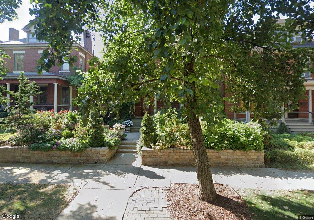
333 W Hubbard Ave Columbus, OH 43215
Victorian Village NeighborhoodEstimated Value: $657,000 - $787,000
3
Beds
2
Baths
2,290
Sq Ft
$309/Sq Ft
Est. Value
About This Home
This home is located at 333 W Hubbard Ave, Columbus, OH 43215 and is currently estimated at $707,485, approximately $308 per square foot. 333 W Hubbard Ave is a home located in Franklin County with nearby schools including Hubbard Elementary School, Dominion Middle School, and Whetstone High School.
Ownership History
Date
Name
Owned For
Owner Type
Purchase Details
Closed on
Mar 11, 2013
Sold by
Brushaber Kenneth and Nicholson Sue
Bought by
Brushaber Kenneth and Nicholson Sue
Current Estimated Value
Purchase Details
Closed on
Jun 28, 2001
Sold by
Reyna Don W
Bought by
Brushaber Kenneth and Nicholson Sue
Purchase Details
Closed on
Jan 20, 1994
Bought by
Reyna Don W
Purchase Details
Closed on
Nov 24, 1993
Create a Home Valuation Report for This Property
The Home Valuation Report is an in-depth analysis detailing your home's value as well as a comparison with similar homes in the area
Home Values in the Area
Average Home Value in this Area
Purchase History
| Date | Buyer | Sale Price | Title Company |
|---|---|---|---|
| Brushaber Kenneth | -- | None Available | |
| Brushaber Kenneth | $277,000 | Chicago Title | |
| Reyna Don W | $60,000 | -- | |
| -- | -- | -- |
Source: Public Records
Tax History Compared to Growth
Tax History
| Year | Tax Paid | Tax Assessment Tax Assessment Total Assessment is a certain percentage of the fair market value that is determined by local assessors to be the total taxable value of land and additions on the property. | Land | Improvement |
|---|---|---|---|---|
| 2024 | $8,693 | $193,690 | $77,000 | $116,690 |
| 2023 | $8,582 | $193,690 | $77,000 | $116,690 |
| 2022 | $10,382 | $200,170 | $40,080 | $160,090 |
| 2021 | $10,400 | $200,170 | $40,080 | $160,090 |
| 2020 | $10,414 | $200,170 | $40,080 | $160,090 |
| 2019 | $10,101 | $166,500 | $33,390 | $133,110 |
| 2018 | $9,485 | $163,630 | $33,390 | $130,240 |
| 2017 | $9,953 | $163,630 | $33,390 | $130,240 |
| 2016 | $9,986 | $150,750 | $29,370 | $121,380 |
| 2015 | $9,065 | $150,750 | $29,370 | $121,380 |
| 2014 | $9,087 | $150,750 | $29,370 | $121,380 |
| 2013 | $4,482 | $150,745 | $26,705 | $124,040 |
Source: Public Records
Map
Nearby Homes
- 312 Buttles Ave Unit 314
- 867-871 Delaware Ave
- 884 Neil Ave
- 313 W 1st Ave
- 938 Hunter Ave
- 994 Harrison Ave
- 915 Dennison Ave Unit 915
- 969 Hunter Ave
- 319 W 2nd Ave Unit 319
- 986 Highland St
- 1003 Pennsylvania Ave Unit 5
- 925 Ingleside Ave Unit 111
- 925 Ingleside Ave Unit 213
- 925 Ingleside Ave Unit 303
- 1018 Neil Ave
- 1016 Neil Ave
- 953 Ingleside Ave Unit 314
- 496 W 1st Ave
- 85-91 W 1st Ave
- 1042 Neil Ave
- 325 W Hubbard Ave
- 337 W Hubbard Ave Unit 337
- 339 W Hubbard Ave Unit 339
- 323 W Hubbard Ave Unit 323
- 321 W Hubbard Ave Unit 321
- 345 W Hubbard Ave Unit 347
- 315 W Hubbard Ave Unit 317
- 349 W Hubbard Ave Unit 349
- 351 W Hubbard Ave Unit 351
- 311 W Hubbard Ave Unit 313
- 348 Buttles Ave
- 322 W Hubbard Ave
- 340 Buttles Ave Unit 340
- 334 Buttles Ave
- 355 W Hubbard Ave Unit 355
- 342 Buttles Ave Unit 340
- 330 W Hubbard Ave Unit 332
- 357 W Hubbard Ave Unit 357
- 332 W Hubbard Ave
- 326 W Hubbard Ave Unit 328