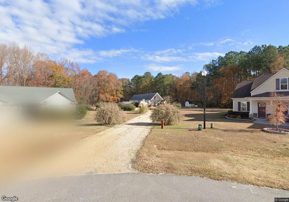
333 West Watson Rd Benson, NC 27504
Pleasant Grove NeighborhoodEstimated Value: $305,776 - $330,000
3
Beds
3
Baths
1,620
Sq Ft
$194/Sq Ft
Est. Value
About This Home
This home is located at 333 West Watson Rd, Benson, NC 27504 and is currently estimated at $313,694, approximately $193 per square foot. 333 West Watson Rd is a home located in Johnston County with nearby schools including McGee's Crossroads Elementary School, McGee's Crossroads Middle School, and West Johnston High School.
Ownership History
Date
Name
Owned For
Owner Type
Purchase Details
Closed on
Sep 30, 2016
Sold by
Holcomb Patricia Gordon
Bought by
Myatt Willard S and Myatt Carmen D
Current Estimated Value
Home Financials for this Owner
Home Financials are based on the most recent Mortgage that was taken out on this home.
Original Mortgage
$154,000
Outstanding Balance
$126,456
Interest Rate
4.25%
Mortgage Type
Adjustable Rate Mortgage/ARM
Estimated Equity
$187,238
Create a Home Valuation Report for This Property
The Home Valuation Report is an in-depth analysis detailing your home's value as well as a comparison with similar homes in the area
Home Values in the Area
Average Home Value in this Area
Purchase History
| Date | Buyer | Sale Price | Title Company |
|---|---|---|---|
| Myatt Willard S | $154,000 | None Available |
Source: Public Records
Mortgage History
| Date | Status | Borrower | Loan Amount |
|---|---|---|---|
| Open | Myatt Willard S | $154,000 |
Source: Public Records
Tax History Compared to Growth
Tax History
| Year | Tax Paid | Tax Assessment Tax Assessment Total Assessment is a certain percentage of the fair market value that is determined by local assessors to be the total taxable value of land and additions on the property. | Land | Improvement |
|---|---|---|---|---|
| 2025 | $1,757 | $276,660 | $76,300 | $200,360 |
| 2024 | $1,300 | $160,550 | $43,600 | $116,950 |
| 2023 | $1,260 | $160,550 | $43,600 | $116,950 |
| 2022 | $1,300 | $160,550 | $43,600 | $116,950 |
| 2021 | $1,300 | $160,550 | $43,600 | $116,950 |
| 2020 | $1,349 | $160,550 | $43,600 | $116,950 |
| 2019 | $1,317 | $160,550 | $43,600 | $116,950 |
| 2018 | $1,055 | $125,560 | $29,430 | $96,130 |
| 2017 | $1,055 | $125,560 | $29,430 | $96,130 |
| 2016 | $1,006 | $119,730 | $23,600 | $96,130 |
| 2015 | $1,006 | $119,730 | $23,600 | $96,130 |
| 2014 | $1,006 | $119,730 | $23,600 | $96,130 |
Source: Public Records
Map
Nearby Homes
- 296 Gordon Farm Dr
- 381 Gray Ghost St
- 687 W Watson Rd
- 400 Rose Ct
- 62 Pelt Place
- 154 Winter Red Way
- 100 Parrish Farm Ln
- 216 Deep Pool Ct
- 387 N Pleasant Coates Rd
- 358 Coats Ridge Dr
- 121 Wilmack Dr
- 219 Beaver Ridge Way
- 67 Cedarbrook Dr
- 162 Cedarbrook Dr
- 926 Lazy Branch Dr
- 300 Still Meadows Ct
- 360 Snowbell St
- 129 Stallion Way
- 141 Vibernum View
- 244 Combine Trail Unit Dm 108
- 333 W Watson Rd
- 115 Willard Wood Run
- 124 Willard Wood Run
- 105 Willard Wood Run
- 228 West Watson Rd
- 118 Willard Wood Run
- 104 Willard Wood Run
- 65 Willard Wood Run
- 84 Willard Wood Run
- 161 West Watson Rd
- 64 Willard Wood Run
- 45 Willard Wood Run
- 149 Gordon Farm Dr
- 133 Gordon Farm Dr
- 109 Gordon Farm Dr
- 44 Willard Wood Run
- 305 West Watson Rd
- 87 Gordon Farm Dr
- 305 West Watson Rd
- 263 Gordon Farm Dr