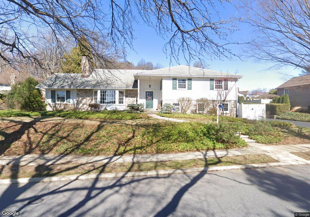
333 Wheatland Ave Reading, PA 19607
Estimated Value: $491,000 - $537,000
4
Beds
3
Baths
2,875
Sq Ft
$176/Sq Ft
Est. Value
About This Home
This home is located at 333 Wheatland Ave, Reading, PA 19607 and is currently estimated at $505,327, approximately $175 per square foot. 333 Wheatland Ave is a home located in Berks County with nearby schools including Cumru Elementary School, Governor Mifflin Intermediate School, and Governor Mifflin Middle School.
Ownership History
Date
Name
Owned For
Owner Type
Purchase Details
Closed on
Jan 22, 2010
Sold by
Reed Mark S and Reed Marcia B
Bought by
Bentz David M and Bentz Elizabeth M
Current Estimated Value
Home Financials for this Owner
Home Financials are based on the most recent Mortgage that was taken out on this home.
Original Mortgage
$237,500
Outstanding Balance
$154,661
Interest Rate
4.79%
Mortgage Type
New Conventional
Estimated Equity
$350,666
Create a Home Valuation Report for This Property
The Home Valuation Report is an in-depth analysis detailing your home's value as well as a comparison with similar homes in the area
Home Values in the Area
Average Home Value in this Area
Purchase History
| Date | Buyer | Sale Price | Title Company |
|---|---|---|---|
| Bentz David M | $250,000 | None Available |
Source: Public Records
Mortgage History
| Date | Status | Borrower | Loan Amount |
|---|---|---|---|
| Open | Bentz David M | $237,500 |
Source: Public Records
Tax History Compared to Growth
Tax History
| Year | Tax Paid | Tax Assessment Tax Assessment Total Assessment is a certain percentage of the fair market value that is determined by local assessors to be the total taxable value of land and additions on the property. | Land | Improvement |
|---|---|---|---|---|
| 2025 | $2,908 | $180,000 | $74,300 | $105,700 |
| 2024 | $8,205 | $180,000 | $74,300 | $105,700 |
| 2023 | $7,991 | $180,000 | $74,300 | $105,700 |
| 2022 | $7,901 | $180,000 | $74,300 | $105,700 |
| 2021 | $7,811 | $180,000 | $74,300 | $105,700 |
| 2020 | $7,811 | $180,000 | $74,300 | $105,700 |
| 2019 | $7,721 | $180,000 | $74,300 | $105,700 |
| 2018 | $7,631 | $180,000 | $74,300 | $105,700 |
| 2017 | $7,490 | $180,000 | $74,300 | $105,700 |
| 2016 | $2,560 | $180,000 | $74,300 | $105,700 |
| 2015 | $2,560 | $180,000 | $74,300 | $105,700 |
| 2014 | $2,339 | $180,000 | $74,300 | $105,700 |
Source: Public Records
Map
Nearby Homes
- 429 Devon Terrace
- 405 State St
- 137 E Elm St
- 136 E Elm St
- 33 Pennsylvania Ave
- 27 Pennsylvania Ave
- 15 Bare Ave
- 617 Meade Tc
- 1 Vireo Dr
- 305 W Elm St
- 524 Pershing Blvd
- 123 High Blvd
- 24 Philadelphia Ave
- 1530 Liggett Ave
- 602 Harding Ave
- 1617 Meadowlark Rd
- 511 Grill Ave
- 31 S Sterley St Unit 401
- 31 S Sterley St Unit 101
- 1501 Gregg Ave
- 329 Wheatland Ave
- 350 Pennsylvania Ave
- 400 Wheatland Ave
- 325 Wheatland Ave
- 345 Pennsylvania Ave
- 404 Wheatland Ave
- 401 Wheatland Ave
- 328 Wheatland Ave
- 408 Wheatland Ave
- 349 Pennsylvania Ave
- 354 Pennsylvania Ave
- 311 Pennsylvania Ave
- 321 Wheatland Ave
- 412 Wheatland Ave
- 324 Wheatland Ave
- 353 Pennsylvania Ave
- 401 Lyncrest Ave
- 415 Lyncrest Ave
- 405 Wheatland Ave
- 416 Wheatland Ave