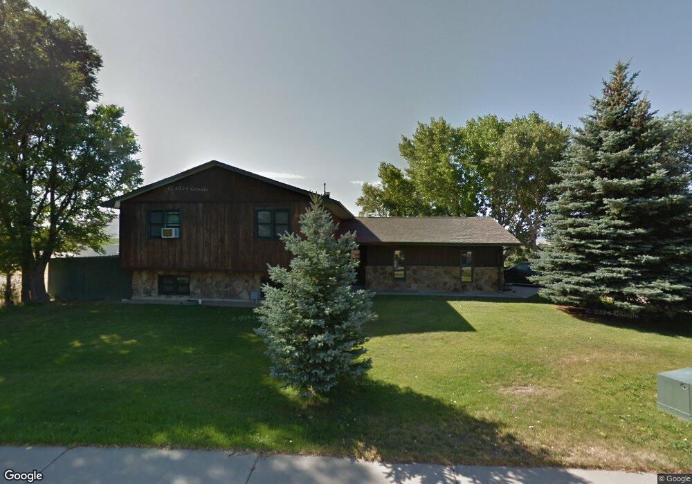
333 Williams Way Glenrock, WY 82637
Estimated Value: $46,000 - $350,000
4
Beds
3
Baths
1,282
Sq Ft
$207/Sq Ft
Est. Value
About This Home
This home is located at 333 Williams Way, Glenrock, WY 82637 and is currently estimated at $265,614, approximately $207 per square foot. 333 Williams Way is a home with nearby schools including Grant Elementary School, Glenrock Intermediate School, and Boxelder Elementary.
Ownership History
Date
Name
Owned For
Owner Type
Purchase Details
Closed on
Mar 30, 2010
Sold by
Potter Bert K and Joann Potter E
Bought by
Banzhaf Frank
Current Estimated Value
Home Financials for this Owner
Home Financials are based on the most recent Mortgage that was taken out on this home.
Original Mortgage
$183,612
Outstanding Balance
$122,292
Interest Rate
5%
Mortgage Type
FHA
Estimated Equity
$143,322
Purchase Details
Closed on
Nov 8, 2005
Sold by
Wocelka William J and Wocelka Loislyn
Bought by
Potter Bert K and Joann Potter E
Home Financials for this Owner
Home Financials are based on the most recent Mortgage that was taken out on this home.
Original Mortgage
$148,200
Interest Rate
5.9%
Mortgage Type
New Conventional
Create a Home Valuation Report for This Property
The Home Valuation Report is an in-depth analysis detailing your home's value as well as a comparison with similar homes in the area
Home Values in the Area
Average Home Value in this Area
Purchase History
| Date | Buyer | Sale Price | Title Company |
|---|---|---|---|
| Banzhaf Frank | -- | None Availabel | |
| Potter Bert K | -- | None Available |
Source: Public Records
Mortgage History
| Date | Status | Borrower | Loan Amount |
|---|---|---|---|
| Open | Banzhaf Frank | $183,612 | |
| Previous Owner | Potter Bert K | $148,200 |
Source: Public Records
Tax History Compared to Growth
Tax History
| Year | Tax Paid | Tax Assessment Tax Assessment Total Assessment is a certain percentage of the fair market value that is determined by local assessors to be the total taxable value of land and additions on the property. | Land | Improvement |
|---|---|---|---|---|
| 2025 | $2,175 | $22,947 | $3,674 | $19,273 |
| 2024 | $2,175 | $29,461 | $4,752 | $24,709 |
| 2023 | $2,106 | $28,363 | $4,605 | $23,758 |
| 2022 | $1,902 | $25,846 | $4,409 | $21,437 |
| 2021 | $1,730 | $23,113 | $3,919 | $19,194 |
| 2020 | $1,624 | $22,179 | $3,919 | $18,260 |
| 2019 | $1,652 | $22,251 | $3,429 | $18,822 |
| 2018 | $1,670 | $23,300 | $3,429 | $19,871 |
| 2017 | $1,702 | $23,258 | $3,429 | $19,829 |
| 2015 | $1,655 | $22,295 | $3,233 | $19,062 |
| 2014 | $1,512 | $20,312 | $3,233 | $17,079 |
Source: Public Records
Map
Nearby Homes
- 382 Miller Rd
- 409 Claim Draw
- Lot 12 Sunup Rd
- 312 S 2nd St
- 562 Emigrant Dr
- 556 Emigrant Dr
- 550 Emigrant Dr
- 502 Emigrant Dr
- 526 Emigrant Dr
- 514 Emigrant Dr
- 508 Emigrant Dr
- 532 Emigrant Dr
- 538 Emigrant Dr
- 544 Emigrant Dr
- 520 Emigrant Dr
- 532 Windmill Rd
- 416 S 3rd St
- Lot 4 Grove St
- Lot 8 John Butler Dr
- 621 S 2nd St
- 319 Williams Way
- 332 Williams Way
- 337 Miller Rd
- 340 Williams Way
- 374 Miller Rd
- 348 Williams Way
- 351 Williams Way
- 358 Miller Rd
- 349 Miller Rd
- 359 Williams Way
- 366 Miller Rd
- 364 Williams Way
- 36 Morman Canyon Rd
- 367 Williams Way
- 367 Williams Way Unit Sunset Rd OR Miller
- 369 Miller Rd
- 372 Williams Way
- 375 Williams Way
- 25 Morman Canyon Rd
- 377 Miller Rd