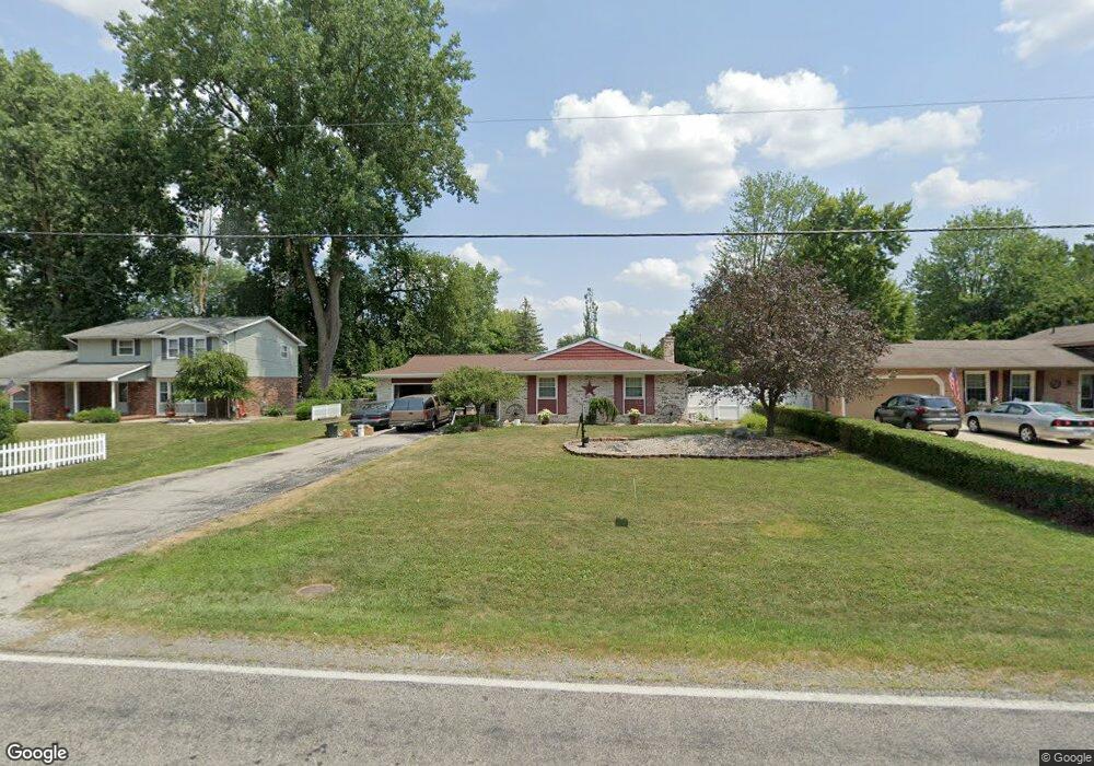
3330 Mannion Rd Saginaw, MI 48603
Estimated Value: $210,622 - $240,000
3
Beds
2
Baths
1,372
Sq Ft
$164/Sq Ft
Est. Value
About This Home
This home is located at 3330 Mannion Rd, Saginaw, MI 48603 and is currently estimated at $224,656, approximately $163 per square foot. 3330 Mannion Rd is a home located in Saginaw County with nearby schools including Sherwood Elementary School, Arrowwood Elementary School, and White Pine Middle School.
Ownership History
Date
Name
Owned For
Owner Type
Purchase Details
Closed on
Oct 16, 2019
Sold by
Mcgregor Heather M and Mcgregor Robert J
Bought by
Mcgregor Robert J and Mcgregor Heather M
Current Estimated Value
Purchase Details
Closed on
Oct 29, 2004
Sold by
Summerfield R M Trust
Bought by
Mcgregor R M and H M
Home Financials for this Owner
Home Financials are based on the most recent Mortgage that was taken out on this home.
Original Mortgage
$120,720
Interest Rate
5.91%
Mortgage Type
Purchase Money Mortgage
Create a Home Valuation Report for This Property
The Home Valuation Report is an in-depth analysis detailing your home's value as well as a comparison with similar homes in the area
Home Values in the Area
Average Home Value in this Area
Purchase History
| Date | Buyer | Sale Price | Title Company |
|---|---|---|---|
| Mcgregor Robert J | -- | None Available | |
| Mcgregor R M | $150,900 | -- | |
| Mcgregor Robert J | $150,900 | Metropolitan Title Company |
Source: Public Records
Mortgage History
| Date | Status | Borrower | Loan Amount |
|---|---|---|---|
| Previous Owner | Mcgregor Robert J | $120,720 | |
| Closed | Mcgregor Robert J | $15,000 |
Source: Public Records
Tax History Compared to Growth
Tax History
| Year | Tax Paid | Tax Assessment Tax Assessment Total Assessment is a certain percentage of the fair market value that is determined by local assessors to be the total taxable value of land and additions on the property. | Land | Improvement |
|---|---|---|---|---|
| 2025 | $2,654 | $96,200 | $0 | $0 |
| 2024 | $1,322 | $89,900 | $0 | $0 |
| 2023 | $1,258 | $79,400 | $0 | $0 |
| 2022 | $2,307 | $72,300 | $0 | $0 |
| 2021 | $2,140 | $68,100 | $0 | $0 |
| 2020 | $2,094 | $62,200 | $0 | $0 |
| 2019 | $2,006 | $62,100 | $7,700 | $54,400 |
| 2018 | $933 | $61,200 | $0 | $0 |
| 2017 | $1,718 | $61,600 | $0 | $0 |
| 2016 | $1,697 | $58,000 | $0 | $0 |
| 2014 | $1,619 | $52,600 | $0 | $43,300 |
| 2013 | -- | $50,400 | $0 | $0 |
Source: Public Records
Map
Nearby Homes
- 3460 Forest Meadow Ct
- 5640 Ada Place
- 3175 Delevan Dr
- 5402 Nottingham Dr N
- 3138 Lawndale Rd
- 0 Hospital McCarty Rd
- 5105 Cardington Dr
- 3943 Spring Ln
- 6140 Shattuck Rd
- 19 Cobblestone Place Unit 19
- 2611 Chapel Dr E
- 2588 E Greendale Dr
- 4041 Oakside Dr
- 6288 Rockingham Place
- 6304 Rockingham Place
- 3287 Columbine Dr
- 4959 Mccarty Rd
- 5261 Oakbrook Dr
- 5312 Oakbrook Dr
- 5287 Weiss St