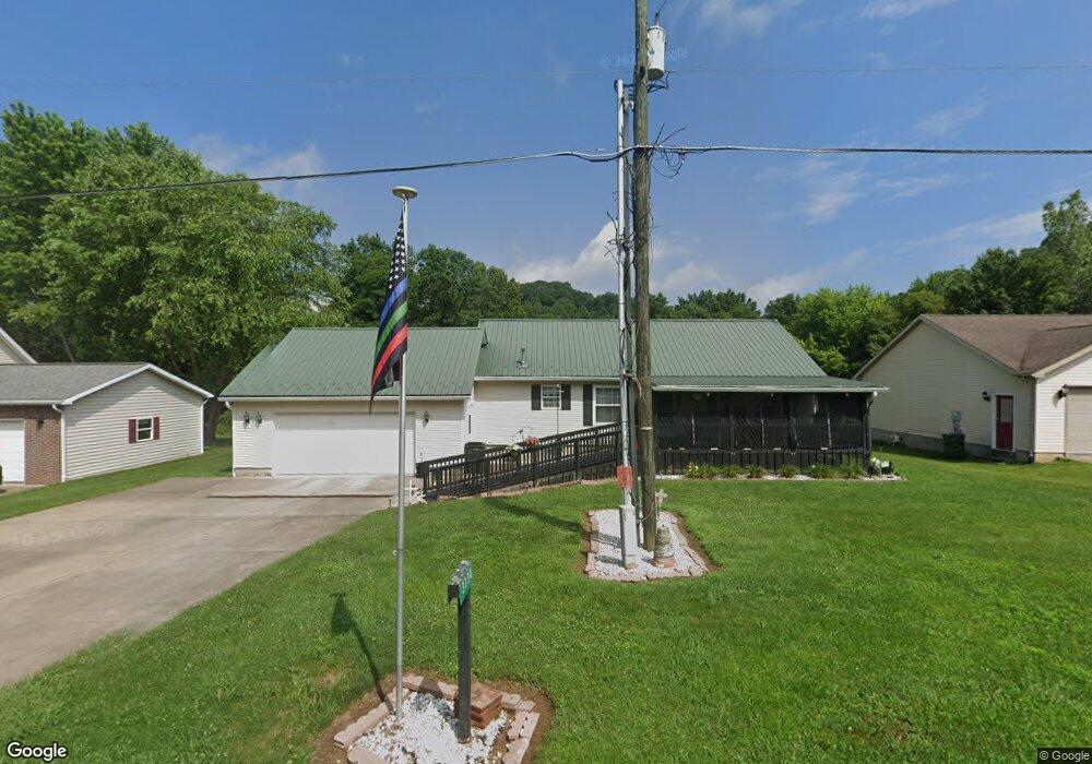
3330 Simpson Rd SE Dennison, OH 44621
Estimated Value: $174,238 - $223,000
3
Beds
2
Baths
1,196
Sq Ft
$175/Sq Ft
Est. Value
About This Home
This home is located at 3330 Simpson Rd SE, Dennison, OH 44621 and is currently estimated at $209,060, approximately $174 per square foot. 3330 Simpson Rd SE is a home located in Tuscarawas County with nearby schools including Claymont High School and Immaculate Conception School.
Ownership History
Date
Name
Owned For
Owner Type
Purchase Details
Closed on
Apr 27, 1999
Sold by
Land Mark Properties Ltd
Bought by
Garvey Albert and Garvey Martha
Current Estimated Value
Home Financials for this Owner
Home Financials are based on the most recent Mortgage that was taken out on this home.
Original Mortgage
$35,000
Outstanding Balance
$9,051
Interest Rate
7.05%
Estimated Equity
$200,009
Purchase Details
Closed on
Sep 22, 1997
Sold by
Eastport Estates Inc
Bought by
Land Mark Properties Ltd
Home Financials for this Owner
Home Financials are based on the most recent Mortgage that was taken out on this home.
Original Mortgage
$73,000
Interest Rate
7.55%
Mortgage Type
New Conventional
Create a Home Valuation Report for This Property
The Home Valuation Report is an in-depth analysis detailing your home's value as well as a comparison with similar homes in the area
Home Values in the Area
Average Home Value in this Area
Purchase History
| Date | Buyer | Sale Price | Title Company |
|---|---|---|---|
| Garvey Albert | $83,000 | Tusc Title | |
| Land Mark Properties Ltd | $18,000 | -- |
Source: Public Records
Mortgage History
| Date | Status | Borrower | Loan Amount |
|---|---|---|---|
| Open | Garvey Albert | $35,000 | |
| Previous Owner | Land Mark Properties Ltd | $73,000 |
Source: Public Records
Tax History
| Year | Tax Paid | Tax Assessment Tax Assessment Total Assessment is a certain percentage of the fair market value that is determined by local assessors to be the total taxable value of land and additions on the property. | Land | Improvement |
|---|---|---|---|---|
| 2024 | $1,049 | $42,810 | $5,670 | $37,140 |
| 2023 | $1,049 | $122,330 | $16,210 | $106,120 |
| 2022 | $1,117 | $42,816 | $5,674 | $37,142 |
| 2021 | $933 | $34,910 | $6,171 | $28,739 |
| 2020 | $954 | $34,910 | $6,171 | $28,739 |
| 2019 | $882 | $34,910 | $6,171 | $28,739 |
| 2018 | $860 | $33,380 | $5,900 | $27,480 |
| 2017 | $861 | $33,380 | $5,900 | $27,480 |
| 2016 | $85 | $33,380 | $5,900 | $27,480 |
| 2014 | $861 | $33,170 | $4,790 | $28,380 |
| 2013 | $866 | $33,170 | $4,790 | $28,380 |
Source: Public Records
Map
Nearby Homes
- 5665 Innkeeper St SE
- 3515 Eastport Rd SE
- 0 Indian Hill Rd SE Unit 5190160
- 0 Vernon St Unit 5009296
- 0 Canary Rd SE
- 0 Royal St
- 4711 Broadway
- 4707 E State St
- 2993 Brightwood Rd SE
- 2215 Hilliard Dr
- 0 Ford Dr
- 1305 Eastport Ave
- 4747 Indian Hill Rd SE
- 213 Fuhr St
- 911 N Water St
- 223 E 9th St
- 4768 Fette Rd
- 717 N Dawson St
- 4848 Fette Rd SE
- 319 E 5th St
- 3318 Simpson Rd SE
- 3342 Simpson Rd SE
- 3348 Simpson Rd SE
- 3308 Simpson Rd SE
- 3337 Simpson Rd SE
- 3325 Simpson Rd SE
- 3296 Simpson Rd SE
- 3357 Simpson Rd SE
- 3313 Simpson Rd SE
- 3360 Simpson Rd SE
- 3248 Simpson Rd SE
- 3367 Simpson Rd SE
- 3001 Eastport Rd SE
- 3309 Simpson Rd SE
- 3081 Eastport Rd SE
- 2936 Eastport Rd SE
- 3305 Simpson Rd SE
- 2959 Eastport Rd SE
- 3191 Heights Ln SE
- 3301 Simpson Rd SE
Your Personal Tour Guide
Ask me questions while you tour the home.