3331 Whitelaw Rd Canastota, NY 13032
Estimated Value: $155,000 - $243,000
3
Beds
1
Bath
1,560
Sq Ft
$125/Sq Ft
Est. Value
About This Home
This home is located at 3331 Whitelaw Rd, Canastota, NY 13032 and is currently estimated at $194,787, approximately $124 per square foot. 3331 Whitelaw Rd is a home located in Madison County with nearby schools including Peterboro Street Elementary School, Roberts Street Middle School, and South Side Elementary School.
Ownership History
Date
Name
Owned For
Owner Type
Purchase Details
Closed on
May 9, 2005
Current Estimated Value
Home Financials for this Owner
Home Financials are based on the most recent Mortgage that was taken out on this home.
Original Mortgage
$42,300
Interest Rate
6.01%
Mortgage Type
Purchase Money Mortgage
Purchase Details
Closed on
Apr 19, 2005
Home Financials for this Owner
Home Financials are based on the most recent Mortgage that was taken out on this home.
Original Mortgage
$42,300
Interest Rate
6.01%
Mortgage Type
Purchase Money Mortgage
Create a Home Valuation Report for This Property
The Home Valuation Report is an in-depth analysis detailing your home's value as well as a comparison with similar homes in the area
Home Values in the Area
Average Home Value in this Area
Purchase History
| Date | Buyer | Sale Price | Title Company |
|---|---|---|---|
| -- | -- | -- | |
| -- | -- | -- |
Source: Public Records
Mortgage History
| Date | Status | Borrower | Loan Amount |
|---|---|---|---|
| Closed | -- | $42,300 |
Source: Public Records
Tax History
| Year | Tax Paid | Tax Assessment Tax Assessment Total Assessment is a certain percentage of the fair market value that is determined by local assessors to be the total taxable value of land and additions on the property. | Land | Improvement |
|---|---|---|---|---|
| 2025 | $3,342 | $82,000 | $30,000 | $52,000 |
| 2024 | $3,288 | $82,000 | $30,000 | $52,000 |
| 2023 | $3,263 | $82,000 | $30,000 | $52,000 |
| 2022 | $3,122 | $82,000 | $30,000 | $52,000 |
| 2021 | $3,118 | $82,000 | $30,000 | $52,000 |
| 2020 | $2,340 | $82,000 | $30,000 | $52,000 |
| 2019 | $2,178 | $82,000 | $30,000 | $52,000 |
| 2018 | $2,178 | $82,000 | $30,000 | $52,000 |
| 2017 | $2,144 | $82,000 | $30,000 | $52,000 |
| 2016 | $2,123 | $82,000 | $30,000 | $52,000 |
| 2015 | -- | $82,000 | $30,000 | $52,000 |
| 2014 | -- | $82,000 | $30,000 | $52,000 |
Source: Public Records
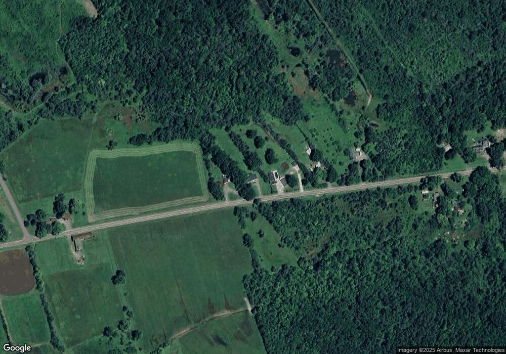
Map
Nearby Homes
- 3263 Pine Ridge Rd
- 2970 Whitelaw Rd W
- 0 Stephens Rd Unit S1675860
- 8958 N Main St
- 3330 State Route 31
- 3006 New York 31
- 9106 Arthur Jenkins Rd
- 9181 Old Orchard Rd
- 7988 Warners Rd
- 9162 Arthur Jenkins Rd
- 9176 Arthur Jenkins Rd
- 3471 Cleveland Place
- 0 Eddy Rd Unit S1633771
- 9091 Beach Rd
- 0 Edward Ohara Ave Unit S1418644
- 0 Edward Ohara Ave Unit S1418656
- 0 Route 13 Unit S1355477
- 8935 Eddy Rd
- 8891 Oneida Valley Rd
- 2451 State Route 31
- 3339 Whitelaw Rd
- 3317 Whitelaw Rd
- 3369 Whitelaw Rd
- 3386 Whitelaw Rd
- 3395 Whitelaw Rd
- 3265 Whitelaw Rd
- 3401 Whitelaw Rd
- 3247 Whitelaw Rd
- 3423 Whitelaw Rd
- 8550 Hertel Rd
- 8531 Hertel Rd
- 3433 Whitelaw Rd
- 8547 Hertel Rd
- 8711 Lewis Point Rd
- 8739 Lewis Point Rd
- 3449 Whitelaw Rd
- 3444 Whitelaw Rd
- 8789 Lewis Point Rd
- 8789 Lewis Point Rd
- 8675 Lewis Point Rd
Your Personal Tour Guide
Ask me questions while you tour the home.