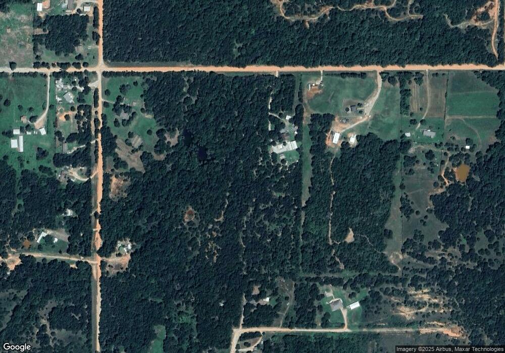
333211 E 1020 Rd Harrah, OK 73045
Estimated Value: $158,000 - $200,000
3
Beds
2
Baths
1,507
Sq Ft
$116/Sq Ft
Est. Value
About This Home
This home is located at 333211 E 1020 Rd, Harrah, OK 73045 and is currently estimated at $175,422, approximately $116 per square foot. 333211 E 1020 Rd is a home.
Ownership History
Date
Name
Owned For
Owner Type
Purchase Details
Closed on
Oct 12, 2023
Sold by
Willie M Williams Revocable Trust
Bought by
Terry And Andrea Haynes Revocable Trust
Current Estimated Value
Purchase Details
Closed on
May 26, 2020
Sold by
Williams Willie M
Bought by
Willie M Williams Revocable Trust
Purchase Details
Closed on
May 21, 2019
Sold by
Benac Linda Gail and Benac Wayne
Bought by
Williams Willie M
Purchase Details
Closed on
May 10, 1980
Sold by
Walker Melvin and Walker Kathryn
Bought by
Williams Willie M and Williams Linda
Create a Home Valuation Report for This Property
The Home Valuation Report is an in-depth analysis detailing your home's value as well as a comparison with similar homes in the area
Home Values in the Area
Average Home Value in this Area
Purchase History
| Date | Buyer | Sale Price | Title Company |
|---|---|---|---|
| Terry And Andrea Haynes Revocable Trust | $143,000 | Smith Brothers Abstract | |
| Terry And Andrea Haynes Revocable Trust | $143,000 | Smith Brothers Abstract | |
| Willie M Williams Revocable Trust | -- | None Available | |
| Williams Willie M | -- | None Available | |
| Williams Willie M | $17,500 | -- |
Source: Public Records
Tax History Compared to Growth
Tax History
| Year | Tax Paid | Tax Assessment Tax Assessment Total Assessment is a certain percentage of the fair market value that is determined by local assessors to be the total taxable value of land and additions on the property. | Land | Improvement |
|---|---|---|---|---|
| 2025 | $1,264 | $16,202 | $3,764 | $12,438 |
| 2024 | $1,264 | $3,315 | $0 | $0 |
| 2023 | $1,264 | $20,335 | $7,535 | $12,800 |
| 2022 | $282 | $4,189 | $1,537 | $2,652 |
| 2021 | $271 | $4,068 | $1,306 | $2,762 |
| 2020 | $261 | $3,949 | $1,169 | $2,780 |
| 2019 | $208 | $3,323 | $1,129 | $2,194 |
| 2018 | $200 | $3,226 | $1,139 | $2,087 |
| 2017 | $237 | $3,132 | $1,099 | $2,033 |
| 2016 | $222 | $3,041 | $989 | $2,052 |
| 2015 | $157 | $2,953 | $940 | $2,013 |
| 2014 | $153 | $2,866 | $750 | $2,116 |
Source: Public Records
Map
Nearby Homes
- 102025 S 3330 Rd
- 332939 E 1020 Rd
- 101396 S Bedrock Cir
- 101782 Green Moss Trail S
- 331899 Timber Ln
- 100711 S Stonecrest Cir
- 334174 E Painted Sky Rd
- 0004 S 3340 10 Acres Rd
- 334273 E Painted Sky Dr
- 21089 River Mist Dr
- 21081 River Mist Dr
- 3872 Louthea Ln
- 3872 Ada Ave
- 3880 Ada Ave
- 3856 Louthea Ln
- 3873 Ada Ave
- 3864 Louthea Ln
- 3865 Ada Ave
- 3864 Ada Ave
- 3856 Ada Ave
- 333335 E 1020 Rd
- 102032 S 3330 Rd
- 102218 S 3330 Rd
- 26209 Kay Dr
- 26209 Kay Dr
- 26285 Kay Dr
- 333098 E 1024 Rd
- 333185 Kay Dr
- 101975 S 3330 Rd
- 102115 S 3330 Rd
- 26136 Kay Dr
- 333120 1024 Rd
- 333068 E 1024 Rd
- 101919 S 3330 Rd
- 333267 E Kay Dr
- 831 Rr 1
- 333034 E 1024 Rd
- 101795 S 3330 Rd
- 333309 E 1024 Rd
- 102406 S 3330 Rd
