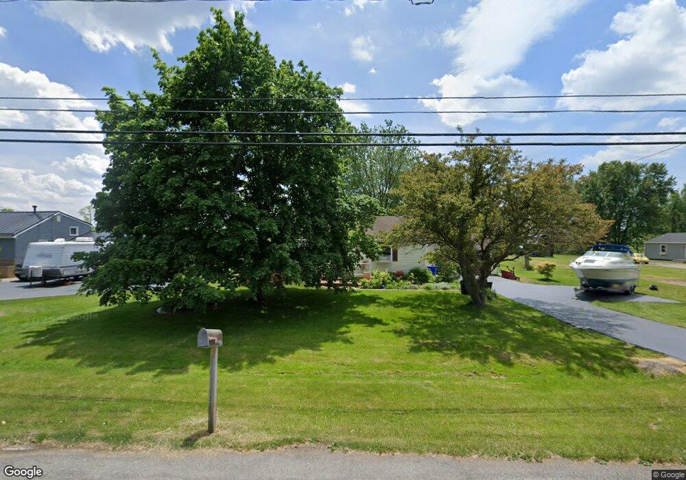
3333 Brockport Spencerport Rd Unit R Spencerport, NY 14559
Estimated Value: $231,000 - $261,000
3
Beds
1
Bath
1,381
Sq Ft
$182/Sq Ft
Est. Value
About This Home
This home is located at 3333 Brockport Spencerport Rd Unit R, Spencerport, NY 14559 and is currently estimated at $250,955, approximately $181 per square foot. 3333 Brockport Spencerport Rd Unit R is a home located in Monroe County with nearby schools including A M Cosgrove Middle School and Spencerport High School.
Ownership History
Date
Name
Owned For
Owner Type
Purchase Details
Closed on
Nov 8, 2017
Sold by
Miller Richard A and Miller Barbara J
Bought by
Peters James O
Current Estimated Value
Home Financials for this Owner
Home Financials are based on the most recent Mortgage that was taken out on this home.
Original Mortgage
$125,681
Outstanding Balance
$105,481
Interest Rate
3.91%
Mortgage Type
FHA
Estimated Equity
$145,474
Purchase Details
Closed on
Feb 8, 2016
Sold by
Miller Barbara J and Miller Richard
Bought by
Miller Richard A
Create a Home Valuation Report for This Property
The Home Valuation Report is an in-depth analysis detailing your home's value as well as a comparison with similar homes in the area
Home Values in the Area
Average Home Value in this Area
Purchase History
| Date | Buyer | Sale Price | Title Company |
|---|---|---|---|
| Peters James O | $128,000 | None Available | |
| Miller Richard A | -- | None Available |
Source: Public Records
Mortgage History
| Date | Status | Borrower | Loan Amount |
|---|---|---|---|
| Open | Peters James O | $125,681 |
Source: Public Records
Tax History Compared to Growth
Tax History
| Year | Tax Paid | Tax Assessment Tax Assessment Total Assessment is a certain percentage of the fair market value that is determined by local assessors to be the total taxable value of land and additions on the property. | Land | Improvement |
|---|---|---|---|---|
| 2024 | $5,746 | $215,000 | $30,000 | $185,000 |
| 2023 | $5,462 | $128,000 | $27,000 | $101,000 |
| 2022 | $5,144 | $128,000 | $27,000 | $101,000 |
| 2021 | $5,031 | $128,000 | $27,000 | $101,000 |
| 2020 | $4,978 | $128,000 | $27,000 | $101,000 |
| 2019 | $2,828 | $128,000 | $27,000 | $101,000 |
| 2018 | $5,117 | $128,000 | $27,000 | $101,000 |
| 2017 | $1,175 | $113,400 | $27,000 | $86,400 |
| 2016 | $2,828 | $113,400 | $27,600 | $85,800 |
| 2015 | -- | $113,400 | $27,600 | $85,800 |
| 2014 | -- | $113,400 | $27,600 | $85,800 |
Source: Public Records
Map
Nearby Homes
- 3375 Brockport Spencerport Rd
- 4028 Canal Rd
- vl Canal Rd
- 24 Birdsong Terrace
- 76 Hawthorne Dr
- 4310 Canal Rd
- 389 Washington St
- 607 Trimmer Rd
- 326 Village Walk Cir
- 0000 Bay Leaf Cir Lot#119
- 000
- 00 Bay Leaf Circle Lot#117
- 0 Unit R1620030
- 911 Washington St
- 909 Washington St
- 154 Amity St
- 87 Highview Dr
- 78 Clark St
- 2283 S Union St
- 6 Walnut Hill Dr
- 3333 Brockport Spencerport Rd
- 3331 Brockport Spencerport Rd
- 3337 Brockport Spencerport Rd
- 3329 Brockport Spencerport Rd
- 3344 Brockport Spencerport Rd
- 3346 Brockport Spencerport Rd
- 3327 Brockport Spencerport Rd
- 3339 Brockport Spencerport Rd
- 3342 Brockport Spencerport Rd
- 3342 Brockport Spencerport Rd Unit R
- 3348 Brockport Spencerport Rd
- 3350 Brockport Spencerport Rd
- 3319 Brockport Spencerport Rd
- 3341 Brockport Spencerport Rd
- 3352 Brockport Spencerport Rd
- 3330 Brockport Spencerport Rd
- 3315 Brockport Spencerport Rd
- 3315 Brockport Spencerport Rd Unit R
- 3343 Brockport Spencerport Rd
- 3328 Brockport Spencerport Rd