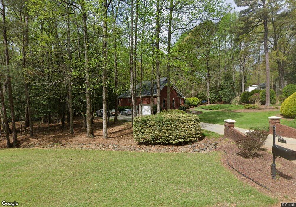
3333 Langston Cir Apex, NC 27539
Middle Creek NeighborhoodEstimated Value: $662,960 - $718,000
Studio
3
Baths
2,669
Sq Ft
$259/Sq Ft
Est. Value
About This Home
This home is located at 3333 Langston Cir, Apex, NC 27539 and is currently estimated at $690,740, approximately $258 per square foot. 3333 Langston Cir is a home located in Wake County with nearby schools including Middle Creek Elementary School, Dillard Drive Magnet Middle School, and Middle Creek High.
Ownership History
Date
Name
Owned For
Owner Type
Purchase Details
Closed on
Jun 4, 1999
Sold by
Powell Jessie Ruth M
Bought by
Bottomley William John and Bottomley Cindy Elaine
Current Estimated Value
Create a Home Valuation Report for This Property
The Home Valuation Report is an in-depth analysis detailing your home's value as well as a comparison with similar homes in the area
Home Values in the Area
Average Home Value in this Area
Purchase History
| Date | Buyer | Sale Price | Title Company |
|---|---|---|---|
| Bottomley William John | $42,000 | -- |
Source: Public Records
Tax History
| Year | Tax Paid | Tax Assessment Tax Assessment Total Assessment is a certain percentage of the fair market value that is determined by local assessors to be the total taxable value of land and additions on the property. | Land | Improvement |
|---|---|---|---|---|
| 2025 | $4,153 | $646,129 | $180,000 | $466,129 |
| 2024 | $4,032 | $646,129 | $180,000 | $466,129 |
Source: Public Records
Map
Nearby Homes
- 3909 Langston Cir
- 212 Sea Biscuit Ln Unit 25
- 3628 Jamison Park Dr
- 804 Blue Thorn Dr
- 5045 Homeplace Dr
- 273 Meadow Beauty Dr
- 4004 Old Sturbridge Dr
- 7513 Orchard Crest Ct
- 3116 Summer Oaks Dr
- 8224 Bells Lake Rd
- 8220 Bells Lake Rd
- 8613 Lawdraker Rd
- 3609 Knollcreek Dr
- 1305 Commons Ford Place
- 0 Rhodes Rd Unit 10147590
- 2117 Bee Cave Ct
- 4412 Fairview Ridge Ln
- 1449 Commons Ford Place
- 7224 Bedford Ridge Dr
- 8024 Deer Meadow Dr
- 3341 Langston Cir
- 3401 Langston Cir
- 3405 Langston Cir
- 3336 Langston Cir
- 3340 Langston Cir
- 4101 Maple Bottom Dr
- 3313 Langston Cir
- 3409 Langston Cir
- 4033 Harriat Dr
- 3316 Langston Cir
- 6021 Oxford Green Dr
- 3236 Alphawood Dr
- 3228 Alphawood Dr
- 3404 Langston Cir
- 3301 Langston Cir
- 4025 Harriat Dr
- 3413 Langston Cir
- 4029 Harriat Dr
- 3232 Alphawood Dr
- 3224 Alphawood Dr
Your Personal Tour Guide
Ask me questions while you tour the home.