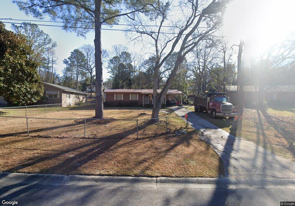
3333 Mohawk Rd Macon, GA 31217
Estimated Value: $77,000 - $111,000
3
Beds
2
Baths
1,066
Sq Ft
$93/Sq Ft
Est. Value
About This Home
This home is located at 3333 Mohawk Rd, Macon, GA 31217 and is currently estimated at $99,365, approximately $93 per square foot. 3333 Mohawk Rd is a home located in Bibb County with nearby schools including Martin Luther King Jr. Elementary School, Appling Middle School, and Northeast High School.
Ownership History
Date
Name
Owned For
Owner Type
Purchase Details
Closed on
Sep 29, 2022
Sold by
Henderson Dmar S
Bought by
Henderson Omar S and Henderson Kertina P
Current Estimated Value
Purchase Details
Closed on
Mar 17, 2006
Sold by
Obi Comfort N
Bought by
Henderson Omar S and Henderson Lertina P
Home Financials for this Owner
Home Financials are based on the most recent Mortgage that was taken out on this home.
Original Mortgage
$67,065
Interest Rate
9.25%
Mortgage Type
Adjustable Rate Mortgage/ARM
Purchase Details
Closed on
Apr 21, 2003
Create a Home Valuation Report for This Property
The Home Valuation Report is an in-depth analysis detailing your home's value as well as a comparison with similar homes in the area
Purchase History
| Date | Buyer | Sale Price | Title Company |
|---|---|---|---|
| Henderson Omar S | -- | -- | |
| Henderson Omar S | $79,900 | None Available | |
| -- | $58,000 | -- |
Source: Public Records
Mortgage History
| Date | Status | Borrower | Loan Amount |
|---|---|---|---|
| Previous Owner | Henderson Omar S | $67,065 |
Source: Public Records
Tax History
| Year | Tax Paid | Tax Assessment Tax Assessment Total Assessment is a certain percentage of the fair market value that is determined by local assessors to be the total taxable value of land and additions on the property. | Land | Improvement |
|---|---|---|---|---|
| 2025 | $670 | $27,248 | $2,240 | $25,008 |
| 2024 | $692 | $27,248 | $2,240 | $25,008 |
| 2023 | $645 | $25,396 | $2,240 | $23,156 |
| 2022 | $453 | $20,078 | $3,052 | $17,026 |
| 2021 | $264 | $13,937 | $1,374 | $12,563 |
| 2020 | $231 | $12,945 | $1,374 | $11,571 |
| 2019 | $39 | $7,986 | $1,374 | $6,612 |
| 2018 | $659 | $7,986 | $1,374 | $6,612 |
| 2017 | $299 | $7,986 | $1,374 | $6,612 |
| 2016 | $276 | $7,986 | $1,374 | $6,612 |
| 2015 | $472 | $9,639 | $1,374 | $8,265 |
| 2014 | $863 | $15,328 | $2,930 | $12,398 |
Source: Public Records
Map
Nearby Homes
- 2113 Joseph Waller Dr
- 2035 Fairway Dr
- 3147 Wedgewood Dr
- 1669 Griswoldville Rd
- 299 E Virginia Ln
- 3103 Stratford Dr
- 3020 Millersfield Rd
- 3020 Millerfield Rd
- 0 Shady Road Plaza
- 3009 Millerfield Rd
- 2954 Tyler Place
- 2750 Lakeshore Dr
- 168 Ruby Dr
- 157 Country World Dr
- 166 Country World Dr
- 176 Country World Dr
- 132 Spradley Dr
- 2720 Jordan Ave
- 2740 Millerfield Rd
- 149 Tanner Terrace
- 3339 Mohawk Rd
- 3327 Mohawk Rd
- 3345 Mohawk Rd
- 3354 Warpath Rd
- 3319 Mohawk Rd
- 3348 Warpath Rd
- 3360 Warpath Rd
- 3340 Warpath Rd
- 3351 Mohawk Rd
- 3338 Mohawk Rd
- 3324 Mohawk Rd
- 3313 Mohawk Rd
- 3350 Mohawk Rd
- 3334 Warpath Rd
- 3366 Warpath Rd
- 3316 Mohawk Rd
- 3357 Mohawk Rd
- 3344 Mohawk Rd
- 3328 Warpath Rd
- 3307 Mohawk Rd
Your Personal Tour Guide
Ask me questions while you tour the home.