333335 E 1020 Rd Harrah, OK 73045
Estimated Value: $254,000 - $315,000
3
Beds
2
Baths
1,632
Sq Ft
$172/Sq Ft
Est. Value
About This Home
This home is located at 333335 E 1020 Rd, Harrah, OK 73045 and is currently estimated at $280,145, approximately $171 per square foot. 333335 E 1020 Rd is a home.
Ownership History
Date
Name
Owned For
Owner Type
Purchase Details
Closed on
Aug 14, 2003
Sold by
Peterson Ronald L
Bought by
Peterson Cynthia M
Current Estimated Value
Purchase Details
Closed on
Feb 19, 1998
Sold by
Peterson Ronald L and Peterson Cynthi
Bought by
Peterson Ronald L and Peterson Cynthi
Purchase Details
Closed on
Jun 18, 1996
Sold by
Wood Melvin E and Wood Sherri L
Bought by
Peterson Ronald L and Peterson Brady,*
Purchase Details
Closed on
Aug 27, 1993
Sold by
Bussell Joseph M and Bussell Marla J
Bought by
Wood Melvin E and Wood Sherri
Purchase Details
Closed on
Apr 9, 1992
Sold by
Babb Ray K Jr Trste Etal
Bought by
Bussell Joseph M and Bussell Marla J
Create a Home Valuation Report for This Property
The Home Valuation Report is an in-depth analysis detailing your home's value as well as a comparison with similar homes in the area
Purchase History
| Date | Buyer | Sale Price | Title Company |
|---|---|---|---|
| Peterson Cynthia M | -- | -- | |
| Peterson Ronald L | -- | -- | |
| Peterson Ronald L | $15,000 | -- | |
| Wood Melvin E | $9,000 | -- | |
| Bussell Joseph M | $2,000 | -- |
Source: Public Records
Tax History
| Year | Tax Paid | Tax Assessment Tax Assessment Total Assessment is a certain percentage of the fair market value that is determined by local assessors to be the total taxable value of land and additions on the property. | Land | Improvement |
|---|---|---|---|---|
| 2025 | $1,263 | $13,187 | $2,302 | $10,885 |
| 2024 | $1,015 | $12,803 | $1,987 | $10,816 |
| 2023 | $1,015 | $21,805 | $6,028 | $15,777 |
| 2022 | $934 | $11,855 | $3,130 | $8,725 |
| 2021 | $800 | $10,281 | $2,815 | $7,466 |
| 2020 | $774 | $9,980 | $2,942 | $7,038 |
| 2019 | $750 | $9,690 | $2,700 | $6,990 |
| 2018 | $726 | $9,408 | $2,759 | $6,649 |
| 2017 | $874 | $9,133 | $2,646 | $6,487 |
| 2016 | $828 | $8,868 | $2,807 | $6,061 |
| 2015 | $611 | $8,610 | $2,729 | $5,881 |
| 2014 | $604 | $8,359 | $2,680 | $5,679 |
Source: Public Records
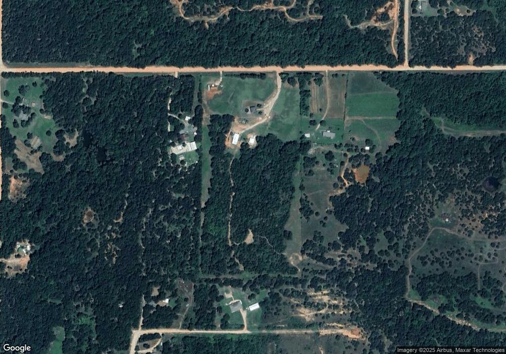
Map
Nearby Homes
- 332939 E 1020 Rd
- S 3340 Rd
- 0005 NE 50th St
- 100861 S Red Rock Trail
- 331899 Timber Ln
- 100711 S Stonecrest Cir
- 334174 E Painted Sky Rd
- 334273 E Painted Sky Dr
- White Rock Rd
- 1 Wilshire Rd
- 2 Wilshire Rd
- 103355 S 3350 Rd
- 3 Wilshire Dr
- 5 Wilshire Rd
- 12 Wilshire Dr
- 10 White Rock Rd
- 101284 S 3350 Rd
- 9 White Rock Rd
- 11 White Rock Rd
- 13 Wilshire Rd
- 333211 E 1020 Rd
- 26285 Kay Dr
- 26209 Kay Dr
- 26209 Kay Dr
- 102218 S 3330 Rd
- 102032 S 3330 Rd
- 333185 Kay Dr
- 102025 S 3330 Rd
- 26136 Kay Dr
- 333098 E 1024 Rd
- 333120 1024 Rd
- 333068 E 1024 Rd
- 101975 S 3330 Rd
- 102115 S 3330 Rd
- 333267 E Kay Dr
- 831 Rr 1
- 101919 S 3330 Rd
- 333034 E 1024 Rd
- 333309 E 1024 Rd
- 101795 S 3330 Rd
Your Personal Tour Guide
Ask me questions while you tour the home.