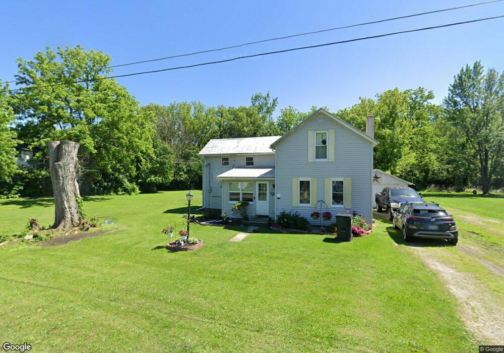
3335 George St Burgoon, OH 43407
Estimated Value: $94,557 - $154,000
2
Beds
1
Bath
1,254
Sq Ft
$93/Sq Ft
Est. Value
About This Home
This home is located at 3335 George St, Burgoon, OH 43407 and is currently estimated at $116,889, approximately $93 per square foot. 3335 George St is a home located in Sandusky County with nearby schools including Lakota Elementary School, Lakota Middle School, and Lakota High School.
Ownership History
Date
Name
Owned For
Owner Type
Purchase Details
Closed on
Oct 30, 2017
Sold by
Dye Amy and Sims Amy L
Bought by
Sims Timothy
Current Estimated Value
Purchase Details
Closed on
May 5, 2006
Sold by
Sims Larry S
Bought by
Sims Amy L
Purchase Details
Closed on
Apr 14, 2000
Sold by
Wolf Richard M
Bought by
Sims Larry S
Purchase Details
Closed on
Oct 1, 1992
Sold by
Sims Larry S and Sims Amy L
Bought by
Sims Amy L
Purchase Details
Closed on
Nov 1, 1987
Sold by
Sims Larry S and Sims Amy L
Bought by
Sims Amy L
Create a Home Valuation Report for This Property
The Home Valuation Report is an in-depth analysis detailing your home's value as well as a comparison with similar homes in the area
Home Values in the Area
Average Home Value in this Area
Purchase History
| Date | Buyer | Sale Price | Title Company |
|---|---|---|---|
| Sims Timothy | -- | None Available | |
| Sims Amy L | -- | None Available | |
| Sims Larry S | $48,000 | -- | |
| Sims Amy L | -- | -- | |
| Sims Amy L | $21,000 | -- |
Source: Public Records
Mortgage History
| Date | Status | Borrower | Loan Amount |
|---|---|---|---|
| Closed | Sims Larry S | -- |
Source: Public Records
Tax History Compared to Growth
Tax History
| Year | Tax Paid | Tax Assessment Tax Assessment Total Assessment is a certain percentage of the fair market value that is determined by local assessors to be the total taxable value of land and additions on the property. | Land | Improvement |
|---|---|---|---|---|
| 2024 | $853 | $19,920 | $3,850 | $16,070 |
| 2023 | $853 | $16,070 | $3,120 | $12,950 |
| 2022 | $808 | $16,070 | $3,120 | $12,950 |
| 2021 | $808 | $16,070 | $3,120 | $12,950 |
| 2020 | $616 | $14,810 | $3,120 | $11,690 |
| 2019 | $719 | $14,810 | $3,120 | $11,690 |
| 2018 | $707 | $14,810 | $3,120 | $11,690 |
| 2017 | $680 | $13,760 | $3,120 | $10,640 |
| 2016 | $642 | $13,760 | $3,120 | $10,640 |
| 2015 | $668 | $13,760 | $3,120 | $10,640 |
| 2014 | $638 | $13,090 | $3,150 | $9,940 |
| 2013 | $627 | $13,090 | $3,150 | $9,940 |
Source: Public Records
Map
Nearby Homes
- 0 State Route 590 Unit 6136844
- 2595 County Road 13
- 230 State St
- 203 Washington St
- 0 State Route 224 Unit 20240095
- 8399 N County Road 31
- 2231 County Road 23
- 6780 W Township Road 174
- 7934 Pleasant Rd
- 855 Rambo Ln
- 17 Adams Dr
- 4885 N Township Road 101
- 227 Main St
- 132 E Township Road 152
- 0 Ohio 590
- 5479 N State Route 53
- 0 County Road 90
- 2484 Buckland Ave
- 3166 N County Road 11
- 0 County Road 59