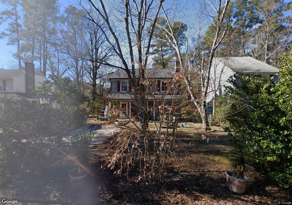
3338 Lassiter St Durham, NC 27707
South Square NeighborhoodEstimated Value: $358,000 - $380,245
3
Beds
3
Baths
1,400
Sq Ft
$267/Sq Ft
Est. Value
About This Home
This home is located at 3338 Lassiter St, Durham, NC 27707 and is currently estimated at $373,311, approximately $266 per square foot. 3338 Lassiter St is a home located in Durham County with nearby schools including Morehead Montessori, Hope Valley Elementary, and Sherwood Githens Middle.
Ownership History
Date
Name
Owned For
Owner Type
Purchase Details
Closed on
Dec 30, 1997
Sold by
Glass Sabrina U and Glass Peter S A
Bought by
Bunton William H and Bunton Audrina J
Current Estimated Value
Home Financials for this Owner
Home Financials are based on the most recent Mortgage that was taken out on this home.
Original Mortgage
$99,790
Outstanding Balance
$17,457
Interest Rate
7.23%
Mortgage Type
FHA
Estimated Equity
$355,854
Create a Home Valuation Report for This Property
The Home Valuation Report is an in-depth analysis detailing your home's value as well as a comparison with similar homes in the area
Home Values in the Area
Average Home Value in this Area
Purchase History
| Date | Buyer | Sale Price | Title Company |
|---|---|---|---|
| Bunton William H | $102,000 | -- |
Source: Public Records
Mortgage History
| Date | Status | Borrower | Loan Amount |
|---|---|---|---|
| Open | Bunton William H | $99,790 |
Source: Public Records
Tax History
| Year | Tax Paid | Tax Assessment Tax Assessment Total Assessment is a certain percentage of the fair market value that is determined by local assessors to be the total taxable value of land and additions on the property. | Land | Improvement |
|---|---|---|---|---|
| 2025 | $3,823 | $385,667 | $158,125 | $227,542 |
| 2024 | $2,686 | $192,583 | $57,400 | $135,183 |
| 2023 | $2,523 | $192,583 | $57,400 | $135,183 |
| 2022 | $2,465 | $192,583 | $57,400 | $135,183 |
| 2021 | $2,453 | $192,583 | $57,400 | $135,183 |
| 2020 | $2,396 | $192,583 | $57,400 | $135,183 |
| 2019 | $2,396 | $192,583 | $57,400 | $135,183 |
| 2018 | $2,313 | $170,494 | $31,570 | $138,924 |
| 2017 | $2,296 | $170,494 | $31,570 | $138,924 |
| 2016 | $2,218 | $170,494 | $31,570 | $138,924 |
| 2015 | $2,092 | $151,119 | $28,720 | $122,399 |
| 2014 | $2,092 | $151,119 | $28,720 | $122,399 |
Source: Public Records
Map
Nearby Homes
- 2742 Old Sugar Rd
- 3107 Dixon Rd
- 3315 Denada Path
- 3306 Swansea St
- 3202 Lassiter St
- 2 Camberwell Ct
- 2709 Old Sugar Rd
- 3207 Alsey Place
- 21 Winchester Ct
- 3503 Old Chapel Hill Rd
- 3622 Colchester St Unit 1
- 6 Saint Andrews Ct
- 3033 University Dr
- 3613 A Suffolk St
- 3613 B Suffolk St
- 1004 Cheviot Ave
- 2940 Chapel Hill Rd Unit D
- 2938 Chapel Hill Rd Unit A
- 1701 Valley Run
- 1 Westbury Place
- 3336 Lassiter St
- 3340 Lassiter St
- 3334 Lassiter St
- 3411 Mossdale Ave
- 3332 Lassiter St
- 3405 Mossdale Ave
- 2808 Eubanks Rd
- 3337 Lassiter St
- 3330 Lassiter St
- 3403 Mossdale Ave
- 2815 Eubanks Rd
- 3328 Lassiter St
- 3503 Mossdale Ave
- 3331 Lassiter St
- 3326 Lassiter St
- 3329 Mossdale Ave
- 3208 Dixon Rd
- 3304 Dixon Rd
- 3000 Eubanks Rd
- 3206 Dixon Rd
Your Personal Tour Guide
Ask me questions while you tour the home.