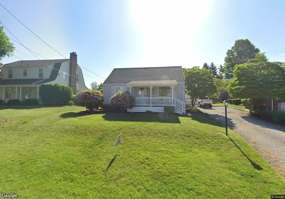
334 22nd St NW Massillon, OH 44647
East Brookfield NeighborhoodEstimated Value: $103,000 - $159,000
2
Beds
1
Bath
720
Sq Ft
$188/Sq Ft
Est. Value
About This Home
This home is located at 334 22nd St NW, Massillon, OH 44647 and is currently estimated at $135,439, approximately $188 per square foot. 334 22nd St NW is a home located in Stark County with nearby schools including Massillon Intermediate School, Massillon Junior High School, and Washington High School.
Ownership History
Date
Name
Owned For
Owner Type
Purchase Details
Closed on
Oct 21, 2008
Sold by
Degordon Dennis L
Bought by
Brannan Timothy M and Brannan Reina M
Current Estimated Value
Home Financials for this Owner
Home Financials are based on the most recent Mortgage that was taken out on this home.
Original Mortgage
$78,468
Outstanding Balance
$52,129
Interest Rate
6.41%
Mortgage Type
FHA
Estimated Equity
$83,310
Purchase Details
Closed on
Apr 14, 2004
Sold by
Degordon C Mae and Degordon Edward W
Bought by
Degordon Dennis L
Purchase Details
Closed on
Sep 29, 1988
Create a Home Valuation Report for This Property
The Home Valuation Report is an in-depth analysis detailing your home's value as well as a comparison with similar homes in the area
Home Values in the Area
Average Home Value in this Area
Purchase History
| Date | Buyer | Sale Price | Title Company |
|---|---|---|---|
| Brannan Timothy M | $79,900 | Attorney | |
| Degordon Dennis L | -- | -- | |
| -- | $25,000 | -- |
Source: Public Records
Mortgage History
| Date | Status | Borrower | Loan Amount |
|---|---|---|---|
| Open | Brannan Timothy M | $78,468 |
Source: Public Records
Tax History Compared to Growth
Tax History
| Year | Tax Paid | Tax Assessment Tax Assessment Total Assessment is a certain percentage of the fair market value that is determined by local assessors to be the total taxable value of land and additions on the property. | Land | Improvement |
|---|---|---|---|---|
| 2025 | -- | $38,050 | $13,580 | $24,470 |
| 2024 | -- | $38,050 | $13,580 | $24,470 |
| 2023 | $1,666 | $32,560 | $10,750 | $21,810 |
| 2022 | $834 | $32,560 | $10,750 | $21,810 |
| 2021 | $1,696 | $32,560 | $10,750 | $21,810 |
| 2020 | $1,404 | $25,350 | $8,790 | $16,560 |
| 2019 | $1,384 | $25,350 | $8,790 | $16,560 |
| 2018 | $1,376 | $25,350 | $8,790 | $16,560 |
| 2017 | $1,304 | $22,440 | $7,420 | $15,020 |
| 2016 | $1,326 | $22,440 | $7,420 | $15,020 |
| 2015 | $1,309 | $22,440 | $7,420 | $15,020 |
| 2014 | $1,311 | $21,710 | $7,180 | $14,530 |
| 2013 | $659 | $21,710 | $7,180 | $14,530 |
Source: Public Records
Map
Nearby Homes
- 1735 Woodruff Ave NW
- 313 23rd St NW
- 1725 Auburn Ave NW
- 429 18th St NW
- 485 Grosvenor Ave NW
- 309 15th St NW
- 1835 Main Ave W
- 104 16th St SW
- 1301 Lincoln Way NW
- 1605 Tremont Ave SW
- 728 Hillside Place SW
- 121 13th St SW
- 315 14th St SW
- 830 Standish Cir NW
- 1105 Tremont Ave SW
- 948 Queen Anne Dr NW
- 425 11th St SW
- 2855 Poplar St NW
- 1110 14th St SW
- 324 Snyder Place SW
- 328 22nd St NW
- 340 22nd St NW
- 346 22nd St NW
- 320 22nd St NW
- 331 21st St NW
- 333 22nd St NW
- 341 21st St NW
- 329 22nd St NW
- 314 22nd St NW
- 325 22nd St NW
- 345 21st St NW
- 321 21st St NW
- 308 22nd St NW
- 2141 Lincoln Way NW
- 339 22nd St NW
- 349 22nd St NW
- 2135 Lincoln Way NW
- 2129 Lincoln Way NW
- 311 21st St NW
- 307 22nd St NW