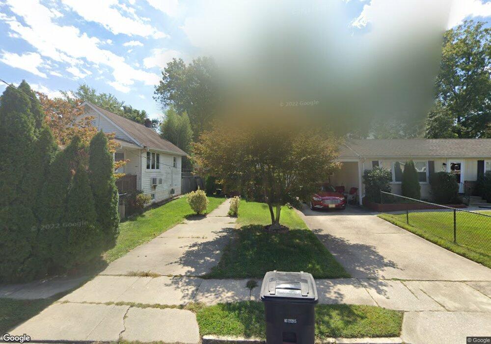
334 4th Ave Lindenwold, NJ 08021
Estimated Value: $159,561 - $222,000
--
Bed
--
Bath
464
Sq Ft
$412/Sq Ft
Est. Value
About This Home
This home is located at 334 4th Ave, Lindenwold, NJ 08021 and is currently estimated at $191,140, approximately $411 per square foot. 334 4th Ave is a home located in Camden County with nearby schools including Memorial Middle School, Lindenwold High School, and South Jersey Sudbury School.
Ownership History
Date
Name
Owned For
Owner Type
Purchase Details
Closed on
Oct 7, 2025
Sold by
Flagg Kenneth P
Bought by
Flagg Kenneth P and Fortin Maria Elena
Current Estimated Value
Purchase Details
Closed on
Jun 22, 2006
Sold by
Engelbert Tiffany
Bought by
Flagg Kenneth P
Home Financials for this Owner
Home Financials are based on the most recent Mortgage that was taken out on this home.
Original Mortgage
$86,827
Interest Rate
6.6%
Mortgage Type
VA
Purchase Details
Closed on
Nov 1, 2001
Sold by
Burns William
Bought by
Engelbert Tiffany
Create a Home Valuation Report for This Property
The Home Valuation Report is an in-depth analysis detailing your home's value as well as a comparison with similar homes in the area
Home Values in the Area
Average Home Value in this Area
Purchase History
| Date | Buyer | Sale Price | Title Company |
|---|---|---|---|
| Flagg Kenneth P | -- | Velocity Title | |
| Flagg Kenneth P | $85,000 | -- | |
| Engelbert Tiffany | $5,000 | -- |
Source: Public Records
Mortgage History
| Date | Status | Borrower | Loan Amount |
|---|---|---|---|
| Previous Owner | Flagg Kenneth P | $86,827 |
Source: Public Records
Tax History Compared to Growth
Tax History
| Year | Tax Paid | Tax Assessment Tax Assessment Total Assessment is a certain percentage of the fair market value that is determined by local assessors to be the total taxable value of land and additions on the property. | Land | Improvement |
|---|---|---|---|---|
| 2025 | $3,283 | $66,400 | $36,400 | $30,000 |
| 2024 | $3,301 | $66,400 | $36,400 | $30,000 |
| 2023 | $3,301 | $66,400 | $36,400 | $30,000 |
| 2022 | $3,298 | $66,400 | $36,400 | $30,000 |
| 2021 | $3,389 | $66,400 | $36,400 | $30,000 |
| 2020 | $3,369 | $66,400 | $36,400 | $30,000 |
| 2019 | $3,399 | $66,400 | $36,400 | $30,000 |
| 2018 | $3,390 | $66,400 | $36,400 | $30,000 |
| 2017 | $3,289 | $66,400 | $36,400 | $30,000 |
| 2016 | $3,215 | $66,400 | $36,400 | $30,000 |
| 2015 | $3,080 | $66,400 | $36,400 | $30,000 |
| 2014 | $2,946 | $66,400 | $36,400 | $30,000 |
Source: Public Records
Map
Nearby Homes
- 323 3rd Ave
- 335 2nd Ave
- 409 9th Ave
- 118 1st Ave
- 441 8th Ave
- 413 10th Ave
- 225 Chews Landing Rd
- 334 Chews Landing Rd
- 531 6th Ave
- 524 8th Ave
- 605 4th Ave
- 609 8th Ave
- 42 Trowbridge Ln Unit DD
- 514 Park Ave
- 18 Trowbridge Ln Unit BB
- 205 State Ave
- 104 W Park Ave
- 37 Chiswick Dr
- 1501-1521 Chews Landing Rd
- 2004 Greenwood Dr