Estimated Value: $213,249 - $247,000
3
Beds
3
Baths
1,319
Sq Ft
$173/Sq Ft
Est. Value
About This Home
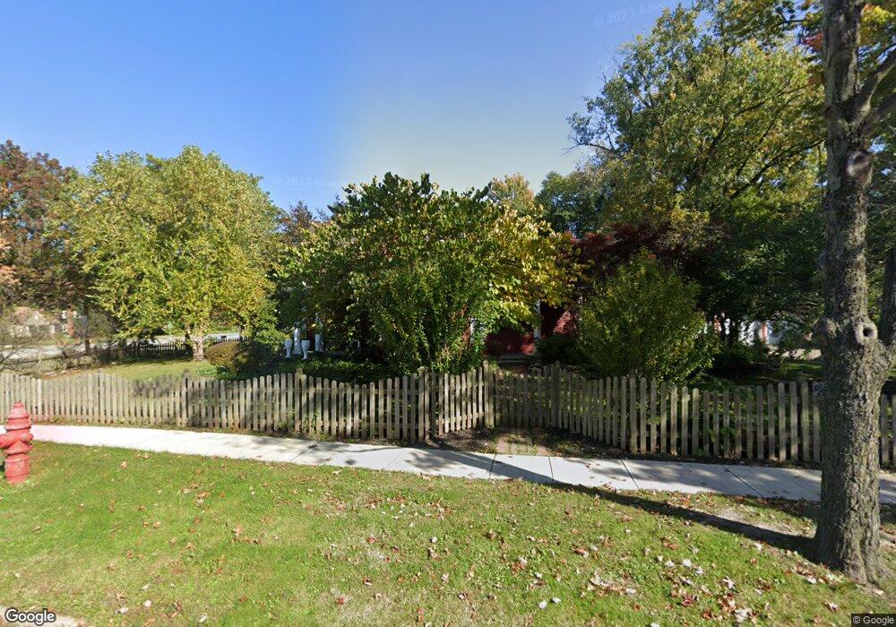
This home is located at 334 Baker St, Berea, OH 44017 and is currently estimated at $228,312, approximately $173 per square foot. 334 Baker St is a home located in Cuyahoga County with nearby schools including Grindstone Elementary School, Berea-Midpark Middle School, and Berea-Midpark High School.
Ownership History
Date
Name
Owned For
Owner Type
Purchase Details
Closed on
May 16, 2022
Sold by
Boyd Cynthia R
Bought by
Cka Boyd Family Llc
Current Estimated Value
Purchase Details
Closed on
Sep 10, 2001
Sold by
Goins Thomas M
Bought by
Boyd Cynthia R
Home Financials for this Owner
Home Financials are based on the most recent Mortgage that was taken out on this home.
Original Mortgage
$128,000
Interest Rate
5.37%
Purchase Details
Closed on
Sep 30, 1994
Sold by
Darmody Patrick T
Bought by
Goins Thomas
Home Financials for this Owner
Home Financials are based on the most recent Mortgage that was taken out on this home.
Original Mortgage
$82,000
Interest Rate
8.6%
Mortgage Type
New Conventional
Purchase Details
Closed on
May 27, 1993
Sold by
Parker Richard D and Parker Mary L
Bought by
Darmody Patrick T
Purchase Details
Closed on
Jan 1, 1975
Bought by
Parker Richard D and Parker Mary L
Create a Home Valuation Report for This Property
The Home Valuation Report is an in-depth analysis detailing your home's value as well as a comparison with similar homes in the area
Home Values in the Area
Average Home Value in this Area
Purchase History
| Date | Buyer | Sale Price | Title Company |
|---|---|---|---|
| Cka Boyd Family Llc | -- | Nee Law Firm Llc | |
| Boyd Cynthia R | $160,000 | Tower City Title Agency Inc | |
| Goins Thomas | $102,500 | -- | |
| Darmody Patrick T | $92,800 | -- | |
| Parker Richard D | -- | -- |
Source: Public Records
Mortgage History
| Date | Status | Borrower | Loan Amount |
|---|---|---|---|
| Previous Owner | Boyd Cynthia R | $128,000 | |
| Previous Owner | Goins Thomas | $82,000 |
Source: Public Records
Tax History
| Year | Tax Paid | Tax Assessment Tax Assessment Total Assessment is a certain percentage of the fair market value that is determined by local assessors to be the total taxable value of land and additions on the property. | Land | Improvement |
|---|---|---|---|---|
| 2025 | $4,342 | $73,325 | $12,250 | $61,075 |
| 2024 | $5,120 | $73,325 | $12,250 | $61,075 |
| 2023 | $4,128 | $53,630 | $11,660 | $41,970 |
| 2022 | $4,331 | $53,620 | $11,655 | $41,965 |
| 2021 | $3,649 | $53,620 | $11,660 | $41,970 |
| 2020 | $3,485 | $45,430 | $9,870 | $35,560 |
| 2019 | $3,846 | $129,800 | $28,200 | $101,600 |
| 2018 | $4,226 | $45,430 | $9,870 | $35,560 |
| 2017 | $4,190 | $52,370 | $9,420 | $42,950 |
| 2016 | $4,159 | $52,370 | $9,420 | $42,950 |
| 2015 | $3,930 | $52,370 | $9,420 | $42,950 |
| 2014 | $3,930 | $52,370 | $9,420 | $42,950 |
Source: Public Records
Map
Nearby Homes
- 333 Parkway Dr
- 146 Marian Ln
- 160 Marian Ln Unit 6A
- 169 Kempton Dr
- 132 Stonefield Dr
- 380 Adrian Dr
- 56 3rd Ave
- 659 Wesley Dr
- 347 Beeler Dr
- 147 Stone Ridge Way
- 379 Laurel Dr
- 159 Stone Ridge Way
- 0 E Bagley Rd Unit 5111166
- 100 River Rock Way
- 329 Baldwin Dr
- 584 Eastland Rd
- 118 Stonepointe Dr
- 112 Meadow Dr
- 275 Quarrystone Ln
- 8783 Roberts Ct Unit 22A
Your Personal Tour Guide
Ask me questions while you tour the home.