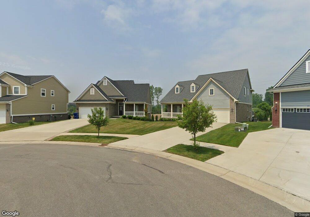
334 Beverly Ave Unit Bldg-Unit Auburn Hills, MI 48326
Estimated Value: $458,000 - $484,000
3
Beds
2
Baths
1,905
Sq Ft
$248/Sq Ft
Est. Value
About This Home
This home is located at 334 Beverly Ave Unit Bldg-Unit, Auburn Hills, MI 48326 and is currently estimated at $472,309, approximately $247 per square foot. 334 Beverly Ave Unit Bldg-Unit is a home located in Oakland County with nearby schools including Auburn Elementary School, Avondale Middle School, and Avondale High School.
Ownership History
Date
Name
Owned For
Owner Type
Purchase Details
Closed on
Oct 21, 2024
Sold by
Whitby Gerald F and Majur Colleen
Bought by
Le Thao and Tran Thi Thanh
Current Estimated Value
Home Financials for this Owner
Home Financials are based on the most recent Mortgage that was taken out on this home.
Original Mortgage
$250,000
Outstanding Balance
$247,296
Interest Rate
6.2%
Mortgage Type
New Conventional
Estimated Equity
$225,013
Purchase Details
Closed on
Jun 12, 2020
Sold by
Schimon Ronald
Bought by
Whitby Gerald F and Majur Colleen
Home Financials for this Owner
Home Financials are based on the most recent Mortgage that was taken out on this home.
Original Mortgage
$316,935
Interest Rate
3.2%
Mortgage Type
New Conventional
Purchase Details
Closed on
Apr 26, 2018
Sold by
Hampton South Llc
Bought by
Brookview Estate Llc
Create a Home Valuation Report for This Property
The Home Valuation Report is an in-depth analysis detailing your home's value as well as a comparison with similar homes in the area
Home Values in the Area
Average Home Value in this Area
Purchase History
| Date | Buyer | Sale Price | Title Company |
|---|---|---|---|
| Le Thao | $470,000 | None Listed On Document | |
| Whitby Gerald F | $352,150 | Ata National Title Group Llc | |
| Creekside & De Const & Maintenance | $100,000 | Ata National Title Group Llc | |
| Brookview Estate Llc | $175,000 | Ata National Title Group |
Source: Public Records
Mortgage History
| Date | Status | Borrower | Loan Amount |
|---|---|---|---|
| Open | Le Thao | $250,000 | |
| Previous Owner | Whitby Gerald F | $316,935 |
Source: Public Records
Tax History Compared to Growth
Tax History
| Year | Tax Paid | Tax Assessment Tax Assessment Total Assessment is a certain percentage of the fair market value that is determined by local assessors to be the total taxable value of land and additions on the property. | Land | Improvement |
|---|---|---|---|---|
| 2024 | $3,467 | $209,740 | $0 | $0 |
| 2023 | $3,307 | $175,360 | $0 | $0 |
| 2022 | $6,482 | $171,150 | $0 | $0 |
| 2021 | $6,297 | $165,330 | $0 | $0 |
| 2020 | $997 | $35,500 | $0 | $0 |
| 2019 | $1,362 | $25,000 | $0 | $0 |
| 2018 | $650 | $25,000 | $0 | $0 |
| 2017 | $637 | $20,750 | $0 | $0 |
| 2016 | $633 | $13,860 | $0 | $0 |
| 2015 | -- | $11,550 | $0 | $0 |
Source: Public Records
Map
Nearby Homes
- 3875 Andover Ave Unit 14
- 3833 Forester Blvd Unit 37
- 3912 Forester Blvd Unit 109
- 3843 Andover Ave
- 3809 Forester Blvd
- 198 Jotham Ave
- 224 Jotham Ave
- 351 N Squirrel Rd
- 51 N Squirrel Rd
- 3317 Parkways Blvd
- 3105 Saint Clair Dr
- 3051 Eastwood Dr
- 3906 Thatcher Dr
- 3145 Eastwood Dr
- 3180 Eastwood Dr
- 3888 Thatcher Dr
- 465 Robert Ct
- 3845 Beechcrest
- 3061 Auburn Rd
- 3180 Martell Ave
- 334 Beverly Ave
- 336 Beverly Ave Unit Bldg-Unit
- 336 Beverly Ave
- 332 Beverly Ave
- 330 Beverly Ave Unit Bldg-Unit
- 330 Beverly Ave
- 3947 Maple Ln
- 326 Beverly Ave
- 3931 Maple Ln
- 3913 Maple Ln
- 3913 Maple Ln
- 324 Beverly Ave
- 2569 S Adams Rd
- 3905 Maple Ln
- 3918 Maple Ln
- 322 Beverly Ave
- 3910 Maple Ln
- 3897 Maple Ln
- 3897 Maple Ln
- 3902 Maple Ln