334 Brentwood Cir Morganton, NC 28655
Estimated Value: $264,000 - $334,000
3
Beds
3
Baths
1,810
Sq Ft
$164/Sq Ft
Est. Value
About This Home
This home is located at 334 Brentwood Cir, Morganton, NC 28655 and is currently estimated at $296,396, approximately $163 per square foot. 334 Brentwood Cir is a home located in Burke County with nearby schools including W.A. Young Elementary School, Table Rock Middle School, and Freedom High School.
Ownership History
Date
Name
Owned For
Owner Type
Purchase Details
Closed on
Jan 11, 2007
Sold by
Sibole Bill R and Sibole Janet M
Bought by
Cunningham John S and Cunningham Valorie S
Current Estimated Value
Purchase Details
Closed on
Oct 25, 2006
Sold by
Carpenter Ronald R
Bought by
Sibole Bill R and Sibole Janet M
Home Financials for this Owner
Home Financials are based on the most recent Mortgage that was taken out on this home.
Original Mortgage
$85,000
Interest Rate
6.39%
Mortgage Type
New Conventional
Create a Home Valuation Report for This Property
The Home Valuation Report is an in-depth analysis detailing your home's value as well as a comparison with similar homes in the area
Home Values in the Area
Average Home Value in this Area
Purchase History
| Date | Buyer | Sale Price | Title Company |
|---|---|---|---|
| Cunningham John S | -- | None Available | |
| Sibole Bill R | $95,000 | None Available |
Source: Public Records
Mortgage History
| Date | Status | Borrower | Loan Amount |
|---|---|---|---|
| Previous Owner | Sibole Bill R | $85,000 |
Source: Public Records
Tax History Compared to Growth
Tax History
| Year | Tax Paid | Tax Assessment Tax Assessment Total Assessment is a certain percentage of the fair market value that is determined by local assessors to be the total taxable value of land and additions on the property. | Land | Improvement |
|---|---|---|---|---|
| 2025 | $1,414 | $183,383 | $27,936 | $155,447 |
| 2024 | $1,289 | $183,383 | $27,936 | $155,447 |
| 2023 | $1,289 | $183,383 | $27,936 | $155,447 |
| 2022 | $1,115 | $128,323 | $23,280 | $105,043 |
| 2021 | $1,109 | $128,323 | $23,280 | $105,043 |
| 2020 | $1,105 | $128,323 | $23,280 | $105,043 |
| 2019 | $1,105 | $128,323 | $23,280 | $105,043 |
| 2018 | $1,034 | $121,037 | $23,280 | $97,757 |
| 2017 | $1,032 | $121,037 | $23,280 | $97,757 |
| 2016 | $1,009 | $121,037 | $23,280 | $97,757 |
| 2015 | $1,006 | $121,037 | $23,280 | $97,757 |
| 2014 | $1,005 | $121,037 | $23,280 | $97,757 |
| 2013 | $1,005 | $121,037 | $23,280 | $97,757 |
Source: Public Records
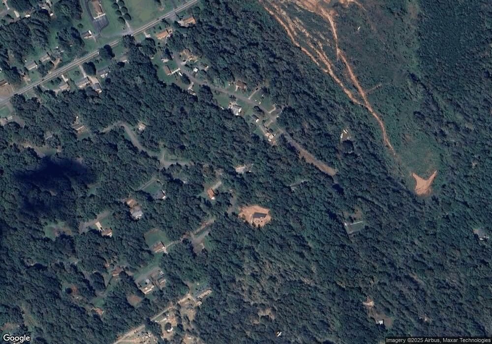
Map
Nearby Homes
- 0 Jamestown Rd
- 1981 Jamestown Rd
- 334 Conley Rd
- 3616 Ridge Ct
- 307 Brentwood Rd
- 1633 Jamestown Rd
- 7777 Reep Dr Unit 3
- 8888 Reep Dr Unit 2
- 9999 Reep Dr Unit 1
- 1670 Jamestown Rd
- 227 Reep Dr
- 113 Highlander St
- 105 Highlander St
- 107 Highlander St
- 109 Highlander St
- 3055 Bedford Ave
- 3674 Lr Walker Rd
- 4211 Alpine St
- 1305 Carbon City Rd Unit 3
- 826 Jamestown Rd
- 120 Lions Hill St
- 319 Brentwood Cir
- 114 Lions Hill St
- 122 Lions Hill St
- 332 Brentwood Cir
- 323 Brentwood Cir
- 110 Lions Hill St
- 117 Lions Hill St
- 342 Brentwood Cir
- 115 Lions Hill St
- 113 Lions Hill St
- 108 Lions Hill St
- 111B Lions Hill St
- 111 Lions Hill St
- 324 Brentwood Cir
- 400 Brentwood Cir
- 315 Brentwood Cir
- 110 Oakwood Dr
- 106 Lions Hill St
- 109 Lions Hill St