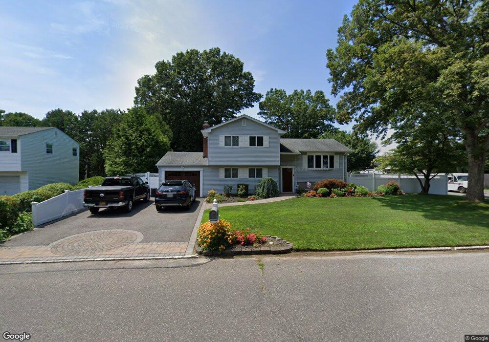
334 Broadway Port Jefferson Station, NY 11776
Estimated Value: $556,000 - $613,370
4
Beds
1
Bath
1,504
Sq Ft
$392/Sq Ft
Est. Value
About This Home
This home is located at 334 Broadway, Port Jefferson Station, NY 11776 and is currently estimated at $590,093, approximately $392 per square foot. 334 Broadway is a home located in Suffolk County with nearby schools including John F Kennedy Middle School and Comsewogue High School.
Ownership History
Date
Name
Owned For
Owner Type
Purchase Details
Closed on
Mar 12, 2009
Sold by
Mclaughlin Harold T
Bought by
Castano Josephine
Current Estimated Value
Purchase Details
Closed on
Aug 7, 2002
Sold by
Thomas Ryan and Thomas Rose Ann
Bought by
Mclaughlin Harold T and Reingold Mclaughlin Andria
Home Financials for this Owner
Home Financials are based on the most recent Mortgage that was taken out on this home.
Original Mortgage
$241,400
Interest Rate
6.57%
Mortgage Type
Unknown
Create a Home Valuation Report for This Property
The Home Valuation Report is an in-depth analysis detailing your home's value as well as a comparison with similar homes in the area
Home Values in the Area
Average Home Value in this Area
Purchase History
| Date | Buyer | Sale Price | Title Company |
|---|---|---|---|
| Castano Josephine | $318,000 | Joan Ferrari | |
| Mclaughlin Harold T | $284,000 | Fidelity National Title Ins |
Source: Public Records
Mortgage History
| Date | Status | Borrower | Loan Amount |
|---|---|---|---|
| Previous Owner | Mclaughlin Harold T | $241,400 |
Source: Public Records
Tax History Compared to Growth
Tax History
| Year | Tax Paid | Tax Assessment Tax Assessment Total Assessment is a certain percentage of the fair market value that is determined by local assessors to be the total taxable value of land and additions on the property. | Land | Improvement |
|---|---|---|---|---|
| 2024 | $9,592 | $2,480 | $250 | $2,230 |
| 2023 | $9,592 | $2,480 | $250 | $2,230 |
| 2022 | $8,053 | $2,480 | $250 | $2,230 |
| 2021 | $8,053 | $2,480 | $250 | $2,230 |
| 2020 | $8,647 | $2,480 | $250 | $2,230 |
| 2019 | $8,647 | $0 | $0 | $0 |
| 2018 | $7,860 | $2,380 | $250 | $2,130 |
| 2017 | $7,860 | $2,380 | $250 | $2,130 |
| 2016 | $7,795 | $2,380 | $250 | $2,130 |
| 2015 | -- | $2,380 | $250 | $2,130 |
| 2014 | -- | $2,355 | $250 | $2,105 |
Source: Public Records
Map
Nearby Homes
- 171 Minrol St
- 191 Bergen St
- 105 Commodore Cir
- 148 Captains Way
- 203 Sterling St
- 4 Forest Ave
- 460 Old Town Rd Unit 7G
- 460 Old Town Rd Unit 24E
- 460 Old Town Rd Unit 7K
- 460 Old Town Rd Unit 8H
- 460 Old Town Rd Unit 25L Upper Unit
- 460 Old Town Rd Unit 26P
- 460 Old Town Rd Unit 25M
- 460 Old Town Rd Unit 6N
- 1209 Sara Cir
- 172 Norwood Ave
- 1107 Sara Cir Unit "B"
- 37 Deer Ln
- 22 Washington Ave
- 26 Forest Ave