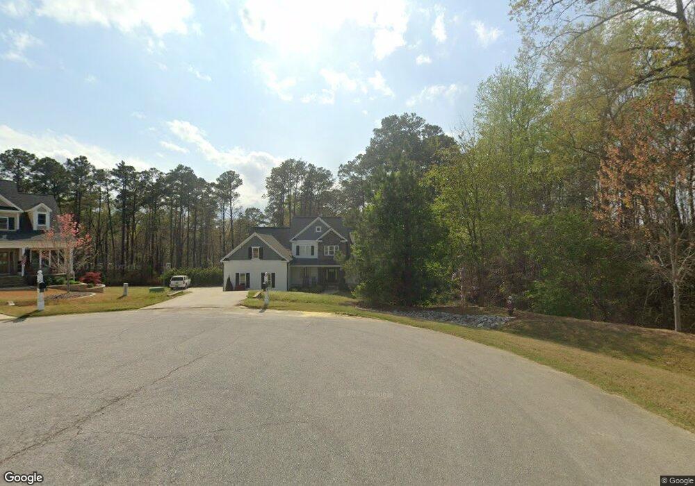
334 Brookstone Way Unit 54 Angier, NC 27501
Pleasant Grove NeighborhoodEstimated Value: $686,000 - $875,000
4
Beds
4
Baths
4,805
Sq Ft
$159/Sq Ft
Est. Value
About This Home
This home is located at 334 Brookstone Way Unit 54, Angier, NC 27501 and is currently estimated at $761,802, approximately $158 per square foot. 334 Brookstone Way Unit 54 is a home located in Johnston County with nearby schools including McGee's Crossroads Elementary School, McGee's Crossroads Middle School, and West Johnston High School.
Ownership History
Date
Name
Owned For
Owner Type
Purchase Details
Closed on
Mar 14, 2017
Sold by
Gilchrist Construction Inc
Bought by
Jorgenson Kevin J and Jorgenson Stacey L
Current Estimated Value
Home Financials for this Owner
Home Financials are based on the most recent Mortgage that was taken out on this home.
Original Mortgage
$40,500
Outstanding Balance
$33,603
Interest Rate
4.19%
Mortgage Type
New Conventional
Estimated Equity
$728,199
Create a Home Valuation Report for This Property
The Home Valuation Report is an in-depth analysis detailing your home's value as well as a comparison with similar homes in the area
Home Values in the Area
Average Home Value in this Area
Purchase History
| Date | Buyer | Sale Price | Title Company |
|---|---|---|---|
| Jorgenson Kevin J | $54,000 | -- |
Source: Public Records
Mortgage History
| Date | Status | Borrower | Loan Amount |
|---|---|---|---|
| Open | Jorgenson Kevin J | $40,500 |
Source: Public Records
Tax History Compared to Growth
Tax History
| Year | Tax Paid | Tax Assessment Tax Assessment Total Assessment is a certain percentage of the fair market value that is determined by local assessors to be the total taxable value of land and additions on the property. | Land | Improvement |
|---|---|---|---|---|
| 2025 | $4,792 | $753,980 | $94,500 | $659,480 |
| 2024 | $3,958 | $487,910 | $48,600 | $439,310 |
| 2023 | $3,835 | $487,910 | $48,600 | $439,310 |
| 2022 | $3,958 | $487,910 | $48,600 | $439,310 |
| 2021 | $3,952 | $487,910 | $48,600 | $439,310 |
| 2020 | $4,098 | $487,910 | $48,600 | $439,310 |
| 2019 | $4,001 | $487,910 | $48,600 | $439,310 |
| 2018 | $0 | $40,000 | $40,000 | $0 |
| 2017 | $336 | $40,000 | $40,000 | $0 |
| 2016 | $336 | $40,000 | $40,000 | $0 |
| 2015 | $336 | $40,000 | $40,000 | $0 |
| 2014 | $336 | $40,000 | $40,000 | $0 |
Source: Public Records
Map
Nearby Homes
- 19 Silverside Dr
- 197 Silverside Dr
- 135 Brookstone Way
- 230 Paula Dr
- 115 Wiggins Rd
- 105 Pinecrest Dr
- 19 Lake Refuge Ct
- 38.2 Acres Wiggins Rd
- 250 Crosscreek Ln
- 100 Pine Needle Dr
- 506 Harbor Cove Dr
- 376 Everland Pkwy
- 154 Everland Pkwy
- 264 Harbor Cove Dr
- 1025 Lake Path Rd
- 156 Harbor Cove Dr
- Cypress Plan at Cedar Ridge
- Wescott Plan at Cedar Ridge
- Colfax Plan at Cedar Ridge
- Edgefield Plan at Cedar Ridge
- 334 Brookstone Way
- 331 Brookstone Way Unit 53
- 331 Brookstone Way
- 320 Brookstone Way
- 172 Silverside Dr
- 172 Silverside Dr Unit 45
- 325 Brookstone Way Unit 52
- 325 Brookstone Way
- 285 Brookstone Way Unit 51
- 285 Brookstone Way
- 48 Silverside Dr
- 48 Silverside Dr Unit 50
- 72 Silverside Dr
- 98 Silverside Dr
- 120 Silverside Dr Unit 47
- 120 Silverside Dr
- 278 Brookstone Way
- 278 Brookstone Way Unit 57
- 232 Brookstone Way Unit 59
- 232 Brookstone Way