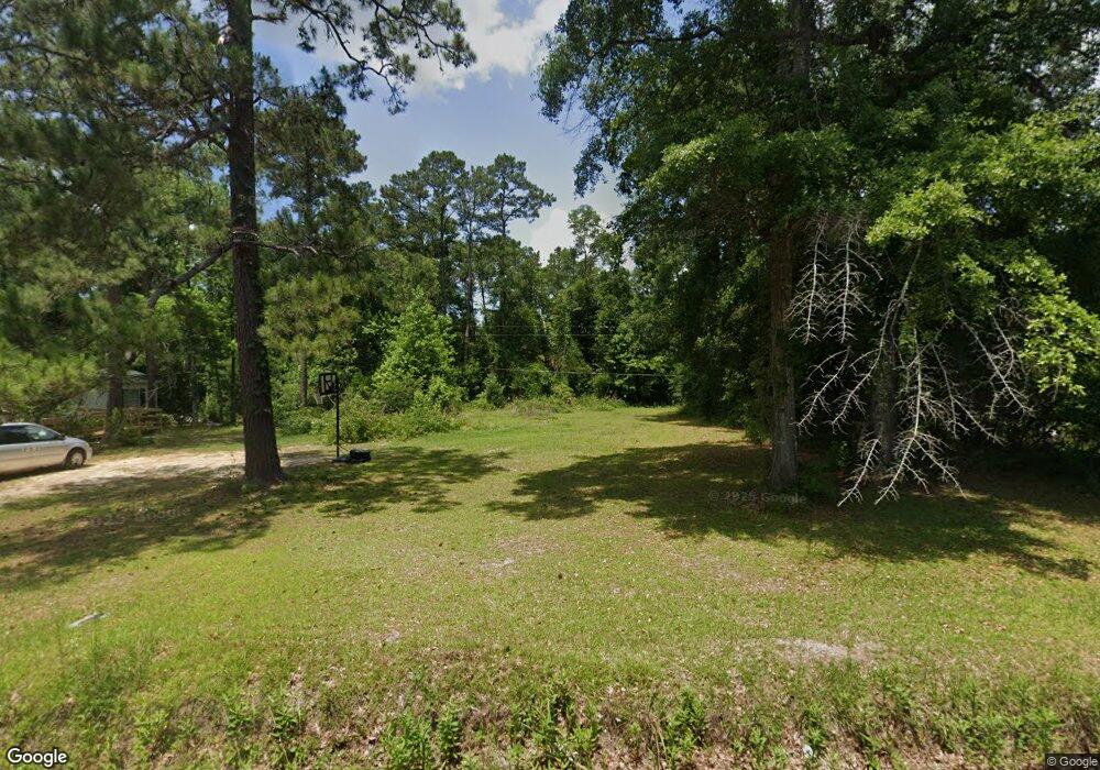
334 Carter Rd Quincy, FL 32351
Estimated Value: $25,000 - $50,000
--
Bed
--
Bath
--
Sq Ft
0.5
Acres
About This Home
This home is located at 334 Carter Rd, Quincy, FL 32351 and is currently estimated at $37,500. 334 Carter Rd is a home located in Gadsden County.
Ownership History
Date
Name
Owned For
Owner Type
Purchase Details
Closed on
Jan 10, 2019
Sold by
Opheim Gene
Bought by
Christopher Pandelton and Christopher Pandelton Jr
Current Estimated Value
Purchase Details
Closed on
Jan 8, 2019
Sold by
Gadsden County
Bought by
Opheim Gene
Create a Home Valuation Report for This Property
The Home Valuation Report is an in-depth analysis detailing your home's value as well as a comparison with similar homes in the area
Home Values in the Area
Average Home Value in this Area
Purchase History
| Date | Buyer | Sale Price | Title Company |
|---|---|---|---|
| Christopher Pandelton | $2,400 | Attorney | |
| Opheim Gene | $2,265 | None Available |
Source: Public Records
Tax History Compared to Growth
Tax History
| Year | Tax Paid | Tax Assessment Tax Assessment Total Assessment is a certain percentage of the fair market value that is determined by local assessors to be the total taxable value of land and additions on the property. | Land | Improvement |
|---|---|---|---|---|
| 2024 | $115 | $8,225 | $6,300 | $1,925 |
| 2023 | $108 | $7,950 | $6,000 | $1,950 |
| 2022 | $94 | $6,475 | $4,500 | $1,975 |
| 2021 | $104 | $7,000 | $4,500 | $2,500 |
| 2020 | $104 | $7,000 | $4,500 | $2,500 |
| 2019 | $106 | $7,000 | $4,500 | $2,500 |
| 2018 | $100 | $6,500 | $0 | $0 |
| 2017 | $101 | $6,500 | $0 | $0 |
| 2016 | $102 | $6,500 | $0 | $0 |
| 2015 | $104 | $6,500 | $0 | $0 |
| 2014 | $105 | $6,500 | $0 | $0 |
Source: Public Records
Map
Nearby Homes
- 580 Spring Meadows Rd
- Lot 6 Kant Cir
- 4433 Pat Thomas Pkwy
- Vacant Old Federal Rd
- 120 Darvin Place
- 244 Shiloh Rd
- xxx Augustine Rd
- 11274 & 11280 Old Federal Rd
- 11274 & 11280 Old Federal Rd
- TBD Pat Thomas Pkwy
- Lot 8 Hungarian Estates
- 0 Cooper Blvd Unit LotWP001 24911800
- 0 Cooper Blvd Unit 779416
- 122 Wiregrass Ln
- 39 Wiregrass Ln
- XX Pat Thomas Pkwy
- 61 Carmen Maria Ln
- XXXX Strong Rd
- xxx McCall Bridge Rd
- 332 Carlene Ln