Estimated Value: $327,000 - $484,000
3
Beds
3
Baths
2,800
Sq Ft
$141/Sq Ft
Est. Value
About This Home
This home is located at 334 Dollar Rd, Cairo, GA 39828 and is currently estimated at $395,532, approximately $141 per square foot. 334 Dollar Rd is a home located in Grady County.
Ownership History
Date
Name
Owned For
Owner Type
Purchase Details
Closed on
Sep 16, 2013
Sold by
Audette Michael D
Bought by
Dunlop Lorinda Carter
Current Estimated Value
Home Financials for this Owner
Home Financials are based on the most recent Mortgage that was taken out on this home.
Original Mortgage
$160,000
Outstanding Balance
$40,913
Interest Rate
4.39%
Mortgage Type
New Conventional
Estimated Equity
$354,619
Purchase Details
Closed on
May 17, 2006
Sold by
Ponder Leland J
Bought by
Audette Michael D and Audette Elizabeth D
Purchase Details
Closed on
Aug 7, 1992
Bought by
Ponder Leland J
Create a Home Valuation Report for This Property
The Home Valuation Report is an in-depth analysis detailing your home's value as well as a comparison with similar homes in the area
Purchase History
| Date | Buyer | Sale Price | Title Company |
|---|---|---|---|
| Dunlop Lorinda Carter | $250,000 | -- | |
| Audette Michael D | $40,000 | -- | |
| Ponder Leland J | $4,500 | -- |
Source: Public Records
Mortgage History
| Date | Status | Borrower | Loan Amount |
|---|---|---|---|
| Open | Dunlop Lorinda Carter | $160,000 |
Source: Public Records
Tax History
| Year | Tax Paid | Tax Assessment Tax Assessment Total Assessment is a certain percentage of the fair market value that is determined by local assessors to be the total taxable value of land and additions on the property. | Land | Improvement |
|---|---|---|---|---|
| 2024 | $2,186 | $113,997 | $13,508 | $100,489 |
| 2023 | $2,375 | $81,724 | $6,498 | $75,226 |
| 2022 | $2,373 | $81,724 | $6,498 | $75,226 |
| 2021 | $2,002 | $81,724 | $6,498 | $75,226 |
| 2020 | $2,007 | $81,724 | $6,498 | $75,226 |
| 2019 | $2,386 | $81,724 | $6,498 | $75,226 |
| 2018 | $1,883 | $81,724 | $6,498 | $75,226 |
| 2017 | $2,130 | $81,724 | $6,498 | $75,226 |
| 2016 | $1,817 | $70,043 | $6,498 | $63,545 |
| 2015 | $1,794 | $70,043 | $6,498 | $63,545 |
| 2014 | $1,939 | $85,167 | $8,748 | $76,419 |
| 2013 | -- | $70,399 | $11,372 | $59,027 |
Source: Public Records
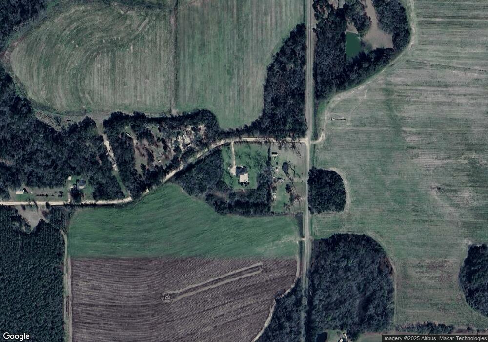
Map
Nearby Homes
- 161 Evergreen Ln
- 129 Alison Dr
- 309 Sunset Ln
- 770 Pierce Chapel Rd
- 3109 U S 84
- 3109 U S 84
- 2427 Pierce Chapel Rd
- 3136 State Route 188
- 88 Ruby Ln
- 78.6 Ac Strickland Rd
- 2690 U S 84
- 1210 Elkins Rd
- 21 24th St NE
- 66 22nd St NE
- 00 State Route 188
- 0 State Route 188
- 00 Academy Dr
- 0 20th St NE
- 00 20th St NE
- 408 Bay Tree Rd NE
- 334 Dollar Rd Unit 1
- 1569 Pierce Chapel Rd
- 1559 Pierce Chapel Rd
- 299 Dollar Rd
- 235 Dollar Rd
- 1478 Pierce Chapel Rd
- 1462 Pierce Chapel Rd
- 1447 Pierce Chapel Rd
- 179 Dollar Rd
- 1436 Pierce Chapel Rd
- 1405 Pierce Chapel Rd
- 1452 Pierce Chapel Rd
- 121 Dollar Rd
- 252 Longleaf Ln
- 252 Longleaf Ln Unit 1
- 1375 Pierce Chapel Rd
- 642 Stanfill Rd
- 251 Longleaf Ln
- 632 Stanfill Rd
- 586 Stanfill Rd
Your Personal Tour Guide
Ask me questions while you tour the home.