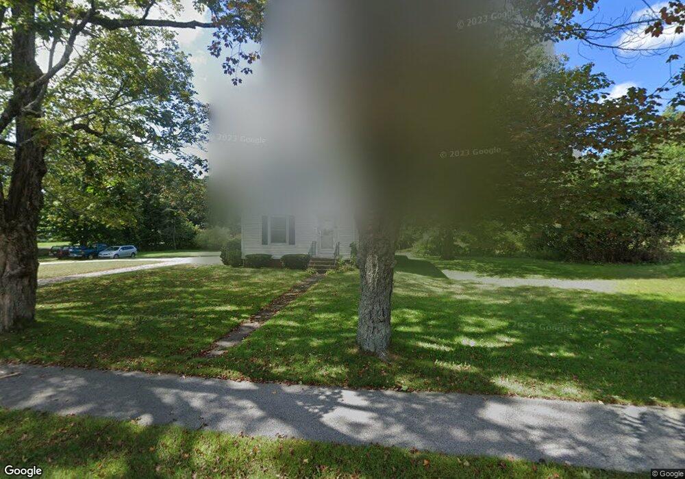
334 E Main St Yarmouth, ME 04096
Estimated Value: $561,702 - $672,000
3
Beds
1
Bath
1,597
Sq Ft
$389/Sq Ft
Est. Value
About This Home
This home is located at 334 E Main St, Yarmouth, ME 04096 and is currently estimated at $621,676, approximately $389 per square foot. 334 E Main St is a home located in Cumberland County with nearby schools including William H. Rowe School, Yarmouth Elementary School, and Frank H. Harrison Middle School.
Ownership History
Date
Name
Owned For
Owner Type
Purchase Details
Closed on
Jul 1, 2016
Sold by
Powers Patrick A
Bought by
Powers Patrick A and Powers Rosemarie T
Current Estimated Value
Home Financials for this Owner
Home Financials are based on the most recent Mortgage that was taken out on this home.
Original Mortgage
$200,000
Outstanding Balance
$155,703
Interest Rate
3%
Mortgage Type
Adjustable Rate Mortgage/ARM
Estimated Equity
$465,973
Purchase Details
Closed on
May 12, 2016
Sold by
Doughty Ralph L Est
Bought by
Powers Patrick A
Home Financials for this Owner
Home Financials are based on the most recent Mortgage that was taken out on this home.
Original Mortgage
$200,000
Outstanding Balance
$155,703
Interest Rate
3%
Mortgage Type
Adjustable Rate Mortgage/ARM
Estimated Equity
$465,973
Create a Home Valuation Report for This Property
The Home Valuation Report is an in-depth analysis detailing your home's value as well as a comparison with similar homes in the area
Home Values in the Area
Average Home Value in this Area
Purchase History
| Date | Buyer | Sale Price | Title Company |
|---|---|---|---|
| Powers Patrick A | -- | -- | |
| Pensco T Co | -- | -- | |
| Powers Patrick A | -- | -- |
Source: Public Records
Mortgage History
| Date | Status | Borrower | Loan Amount |
|---|---|---|---|
| Open | Powers Patrick A | $200,000 |
Source: Public Records
Tax History
| Year | Tax Paid | Tax Assessment Tax Assessment Total Assessment is a certain percentage of the fair market value that is determined by local assessors to be the total taxable value of land and additions on the property. | Land | Improvement |
|---|---|---|---|---|
| 2024 | $6,638 | $258,600 | $110,700 | $147,900 |
| 2023 | $6,087 | $258,600 | $110,700 | $147,900 |
| 2022 | $5,591 | $258,600 | $110,700 | $147,900 |
| 2021 | $5,120 | $258,600 | $110,700 | $147,900 |
| 2020 | $5,069 | $258,600 | $110,700 | $147,900 |
| 2019 | $4,877 | $258,600 | $110,700 | $147,900 |
| 2018 | $4,603 | $258,600 | $110,700 | $147,900 |
| 2017 | $4,438 | $258,600 | $110,700 | $147,900 |
| 2016 | $4,507 | $264,200 | $116,300 | $147,900 |
| 2015 | $3,911 | $181,400 | $91,200 | $90,200 |
| 2014 | $3,918 | $181,400 | $91,200 | $90,200 |
| 2013 | $3,991 | $181,400 | $0 | $0 |
Source: Public Records
Map
Nearby Homes
- 9 Gables Dr Unit 9
- 203 Bluff Rd Unit 13
- 0 Bayview St
- 172 E Main St
- 109 Melissa Dr
- 200 Sisquisic Trail
- 52 Blueberry Cove Rd Unit 52
- 18 Portland St
- 16 Rocky Hill Rd
- 1 Railroad Square Unit Townhome C
- 1 Railroad Square Unit 103
- 1 Railroad Square Unit 205
- 1 Railroad Square Unit 305
- 1 Railroad Square Unit 403
- 1 Railroad Square Unit 101
- 86 Pleasant St
- 37 South St
- 90 W Main St
- 397 Portland St
- 51 Old Field Rd
Your Personal Tour Guide
Ask me questions while you tour the home.