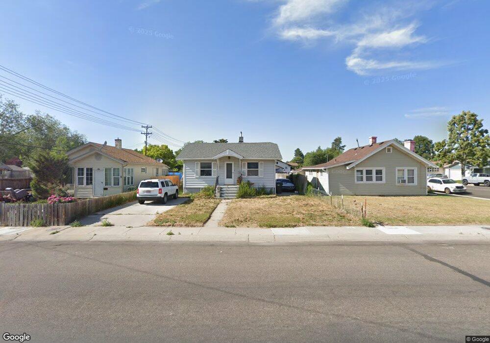
334 E Maple St Pocatello, ID 83201
Downtown Pocatello NeighborhoodEstimated Value: $209,000 - $258,513
3
Beds
1
Bath
1,628
Sq Ft
$147/Sq Ft
Est. Value
About This Home
This home is located at 334 E Maple St, Pocatello, ID 83201 and is currently estimated at $239,171, approximately $146 per square foot. 334 E Maple St is a home located in Bannock County with nearby schools including Lewis & Clark Elementary School, Kinport Academy, and Century High School.
Ownership History
Date
Name
Owned For
Owner Type
Purchase Details
Closed on
Feb 15, 2022
Sold by
Jensen Gordon L and Jensen Del Rae
Bought by
Denny Cynthia
Current Estimated Value
Home Financials for this Owner
Home Financials are based on the most recent Mortgage that was taken out on this home.
Original Mortgage
$8,050
Outstanding Balance
$5,246
Interest Rate
3.01%
Estimated Equity
$233,925
Create a Home Valuation Report for This Property
The Home Valuation Report is an in-depth analysis detailing your home's value as well as a comparison with similar homes in the area
Home Values in the Area
Average Home Value in this Area
Purchase History
| Date | Buyer | Sale Price | Title Company |
|---|---|---|---|
| Denny Cynthia | -- | First American Title |
Source: Public Records
Mortgage History
| Date | Status | Borrower | Loan Amount |
|---|---|---|---|
| Open | Denny Cynthia | $8,050 | |
| Open | Denny Cynthia | $225,834 |
Source: Public Records
Tax History
| Year | Tax Paid | Tax Assessment Tax Assessment Total Assessment is a certain percentage of the fair market value that is determined by local assessors to be the total taxable value of land and additions on the property. | Land | Improvement |
|---|---|---|---|---|
| 2025 | $945 | $176,781 | $55,000 | $121,781 |
| 2024 | $1,028 | $155,936 | $55,000 | $100,936 |
| 2023 | $1,110 | $172,922 | $55,000 | $117,922 |
| 2022 | $1,110 | $131,979 | $42,000 | $89,979 |
| 2021 | $2,239 | $131,979 | $42,000 | $89,979 |
| 2020 | $1,530 | $96,067 | $27,945 | $68,122 |
| 2019 | $2,035 | $104,455 | $27,945 | $76,510 |
| 2018 | $1,879 | $84,009 | $20,250 | $63,759 |
| 2017 | $1,865 | $84,009 | $20,250 | $63,759 |
| 2016 | $1,849 | $84,009 | $20,250 | $63,759 |
| 2015 | $1,868 | $0 | $0 | $0 |
| 2012 | -- | $85,418 | $19,507 | $65,911 |
Source: Public Records
Map
Nearby Homes
- 335 Willard Ave
- 166 Washington Ave
- 129 Wayne Ave
- 168 Park Ave
- 725 E Pine St
- 270 Taft Ave
- 1028 N 9th Ave
- 855 E Walnut St
- TBD E Elm St
- Lot 19 Block 2 E Elm St
- 946 N 9th Ave
- 172 Taft Ave
- 825 N 11th Ave
- 402 Mckinley Ave
- 1110 E Elm St
- 436 Fairmont Ave
- 524 Euclid Ave
- 743 Washington Ave
- 0 Tbd W Buckskin Rd Unit 23971231
- 553 Mckinley Ave
- 332 E Maple St
- 311 Willard Ave
- 328 E Maple St
- 325 Willard Ave
- 326 E Maple St
- 353 E Maple St
- 300 Willard Ave
- 318 Willard Ave
- 324 Willard Ave
- 363 E Maple St
- 320 Warren Ave
- 369 E Maple St
- 324 Warren Ave
- 328 Warren Ave
- 345 Willard Ave
- 343 E Maple St
- 305 E Maple St
- 409 E Maple St
- 328 Willard Ave
- 344 Willard Ave