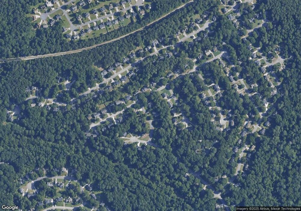
334 Flat Rock Dr Lawrenceville, GA 30044
Estimated Value: $499,000 - $555,000
4
Beds
3
Baths
3,129
Sq Ft
$167/Sq Ft
Est. Value
About This Home
This home is located at 334 Flat Rock Dr, Lawrenceville, GA 30044 and is currently estimated at $521,720, approximately $166 per square foot. 334 Flat Rock Dr is a home located in Gwinnett County with nearby schools including Gwin Oaks Elementary School, Five Forks Middle School, and Brookwood High School.
Ownership History
Date
Name
Owned For
Owner Type
Purchase Details
Closed on
Jan 26, 2015
Sold by
Dossey Russell R
Bought by
Joint Russell and Joint Bonnie Dossey
Current Estimated Value
Create a Home Valuation Report for This Property
The Home Valuation Report is an in-depth analysis detailing your home's value as well as a comparison with similar homes in the area
Home Values in the Area
Average Home Value in this Area
Purchase History
| Date | Buyer | Sale Price | Title Company |
|---|---|---|---|
| Joint Russell | -- | -- |
Source: Public Records
Tax History Compared to Growth
Tax History
| Year | Tax Paid | Tax Assessment Tax Assessment Total Assessment is a certain percentage of the fair market value that is determined by local assessors to be the total taxable value of land and additions on the property. | Land | Improvement |
|---|---|---|---|---|
| 2024 | $1,653 | $197,520 | $30,000 | $167,520 |
| 2023 | $1,653 | $175,800 | $32,400 | $143,400 |
| 2022 | $4,222 | $175,800 | $32,400 | $143,400 |
| 2021 | $4,222 | $126,720 | $24,400 | $102,320 |
| 2020 | $4,252 | $126,720 | $24,400 | $102,320 |
| 2019 | $4,181 | $126,720 | $24,400 | $102,320 |
| 2018 | $4,181 | $126,720 | $24,400 | $102,320 |
| 2016 | $0 | $97,240 | $17,600 | $79,640 |
| 2015 | $3,806 | $97,240 | $17,600 | $79,640 |
| 2014 | $3,356 | $84,040 | $15,200 | $68,840 |
Source: Public Records
Map
Nearby Homes
- 3265 Bethesda Park Ct
- 3510 Smoke Rise Way
- 3317 Rae Place
- 3366 Bridge Walk Dr
- 483 Comanche Trail
- 624 River Oak Loop
- 3484 River Dr SW
- 3730 Willow Mill Dr
- 424 Comanche Trail
- 3486 Bridge Walk Dr
- 564 Deer Run SW
- 3718 Jackson Bluff Dr
- 522 Foxmoor Dr SW Unit 1
- 167 Lester Rd SW Unit 1
- 287 Willow Cove Ct
- 3586 Vinyard Way
- 3927 Lockaby Way
- 3837 Lockaby Way
- 3957 Lockaby Way
- 3627 Lockaby Way
- 344 Flat Rock Dr
- 333 Lombard Dr
- 0 Flat Rock Dr Unit 8294631
- 0 Flat Rock Dr Unit 8209033
- 0 Flat Rock Dr Unit 8200242
- 0 Flat Rock Dr Unit 7413880
- 343 Lombard Dr
- 3418 Rememberance Trace
- 3397 Rememberance Trace
- 3407 Rememberance Trace Unit 2
- 3387 Rememberance Trace
- 345 Flat Rock Dr
- 354 Flat Rock Dr
- 353 Lombard Dr
- 3417 Rememberance Trace
- 3377 Rememberance Trace Unit 3
- 3428 Rememberance Trace
- 356 Connemara Crossing
- 363 Lombard Dr
- 3427 Rememberance Trace Unit 2
