334 Highway 136 W Dawsonville, GA 30534
Estimated Value: $1,525,000 - $3,791,000
4
Beds
5
Baths
8,193
Sq Ft
$330/Sq Ft
Est. Value
About This Home
This home is located at 334 Highway 136 W, Dawsonville, GA 30534 and is currently estimated at $2,703,454, approximately $329 per square foot. 334 Highway 136 W is a home located in Dawson County with nearby schools including Robinson Elementary School, Dawson County Junior High School, and Dawson County Middle School.
Ownership History
Date
Name
Owned For
Owner Type
Purchase Details
Closed on
Aug 20, 2024
Sold by
Fitts Freddie L
Bought by
Fitts Freddie L and Fitts Beverly Anne
Current Estimated Value
Purchase Details
Closed on
Jul 30, 2008
Sold by
Not Provided
Bought by
Fitts Freddie L
Purchase Details
Closed on
Aug 11, 1964
Bought by
West Lyndon
Create a Home Valuation Report for This Property
The Home Valuation Report is an in-depth analysis detailing your home's value as well as a comparison with similar homes in the area
Home Values in the Area
Average Home Value in this Area
Purchase History
| Date | Buyer | Sale Price | Title Company |
|---|---|---|---|
| Fitts Freddie L | -- | None Listed On Document | |
| Fitts Freddie L | -- | None Listed On Document | |
| Fitts Freddie L | $1,590,000 | -- | |
| Fitts Freddie | -- | -- | |
| Fitts Freddie | -- | -- | |
| Fitts Freddie | -- | -- | |
| West Lyndon | -- | -- |
Source: Public Records
Tax History Compared to Growth
Tax History
| Year | Tax Paid | Tax Assessment Tax Assessment Total Assessment is a certain percentage of the fair market value that is determined by local assessors to be the total taxable value of land and additions on the property. | Land | Improvement |
|---|---|---|---|---|
| 2024 | $9,843 | $892,720 | $234,160 | $658,560 |
| 2023 | $9,843 | $831,200 | $175,280 | $655,920 |
| 2022 | $10,028 | $687,920 | $165,200 | $522,720 |
| 2021 | $8,474 | $624,240 | $194,760 | $429,480 |
| 2020 | $8,693 | $559,520 | $140,080 | $419,440 |
| 2019 | $8,805 | $561,360 | $140,080 | $421,280 |
| 2018 | $10,243 | $561,360 | $140,080 | $421,280 |
| 2017 | $9,811 | $512,269 | $108,461 | $403,808 |
| 2016 | $9,805 | $512,269 | $108,461 | $403,808 |
| 2015 | $8,217 | $512,268 | $108,461 | $403,808 |
| 2014 | $8,676 | $443,264 | $108,461 | $334,803 |
| 2013 | -- | $391,392 | $108,460 | $282,931 |
Source: Public Records
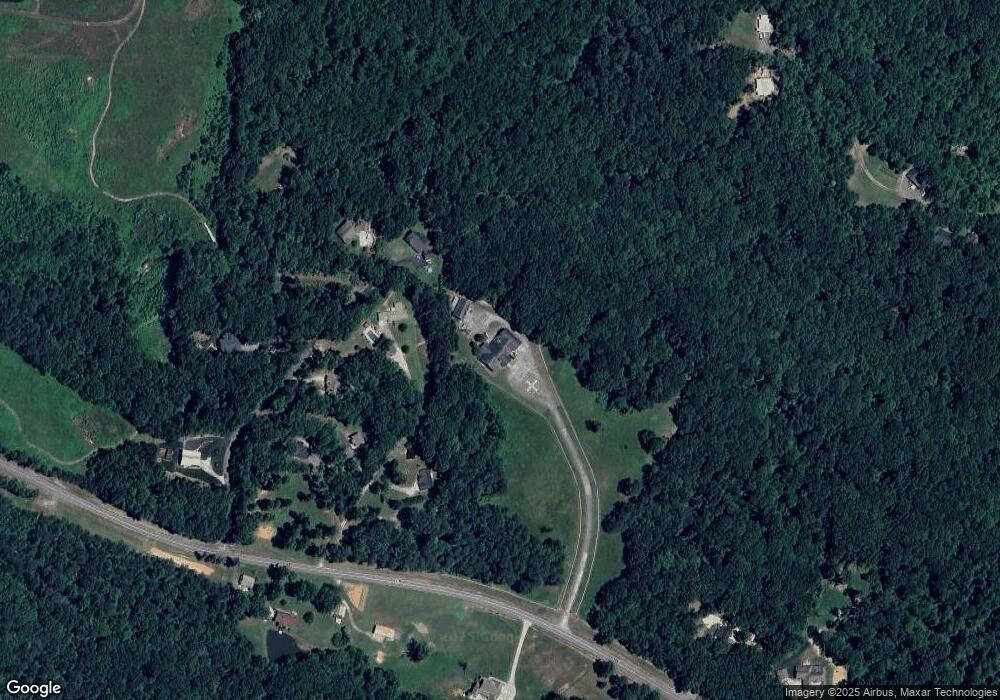
Map
Nearby Homes
- 191+/- ACRES Georgia 136
- 237 Highway 136 W
- 0 Highway 9 N Unit 10600540
- 62 Gold Dust Dr
- 42 Gold Dust Dr
- 42 Gold Dust Dr Unit 17A
- 8 Gold Dust Dr
- 10 Gold Dust Dr
- 8 Gold Dust Dr Unit 23-B
- 10 Gold Dust Dr Unit 23-A
- 31 Gold Dust Dr
- 29 Gold Dust Dr
- 23 Gold Dust Dr
- 21 Gold Dust Dr Unit 1-A
- 23 Gold Dust Dr Unit 1-B
- 57 Gold Dust Dr
- 26 Gold Dust Dr
- 70 Gold Dust Dr Unit 9B
- 72 Gold Dust Dr
- 15 Village Dr
- 170 Buds Dr
- 144 Bears Den Dr
- 122 Bears Den Dr
- 102 Bears Den Dr
- 58 Buds Dr
- 29 Buds Dr
- 28 Buds Dr
- 146 Bears Den Dr
- 141 Bears Den Dr
- 405 Georgia 136
- 2647 Georgia 136
- 43 Bears Den Dr
- 515 Highway 136 W
- 353 Highway 136 W
- 238 Highway 136 W
- 273 Highway 136 W
- 144 Highway 136 W
- 2607 Highway 9 N
- 2607 Highway 9 N
- 248 Park Ave